Discover Sinclair Falls

Short path to the edge of Sinclair Falls.
TRAIL ACTIVITY
LENGTH
0.10 miles, Round Trip
DIFFICULTY
Easy
TOWN
Clare
SURFACE
Dirt/Forest Floor, Rocks/Ledge
PETS
Permitted
FEES
No

Description

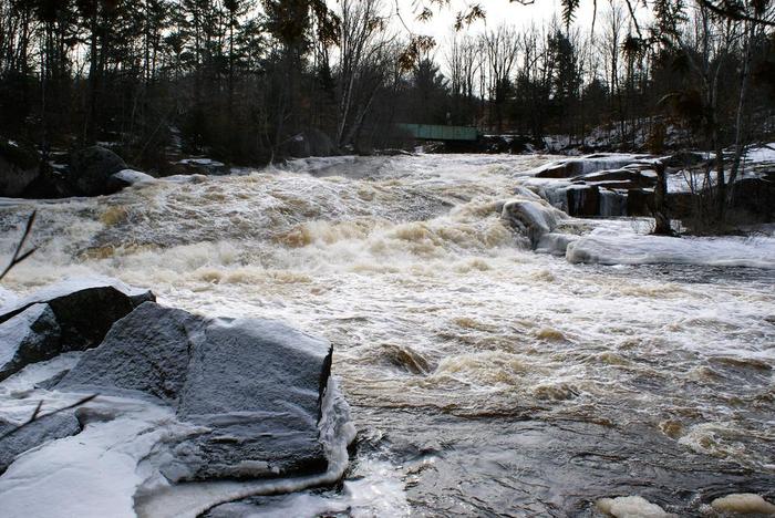
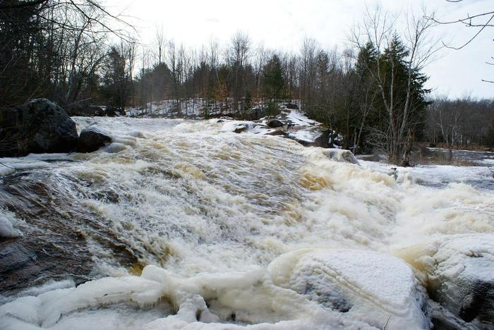
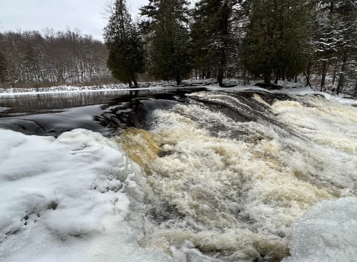
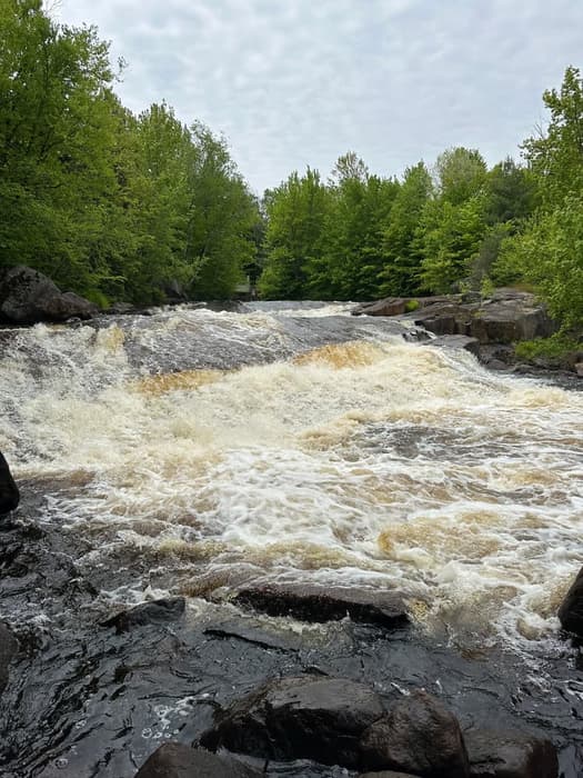
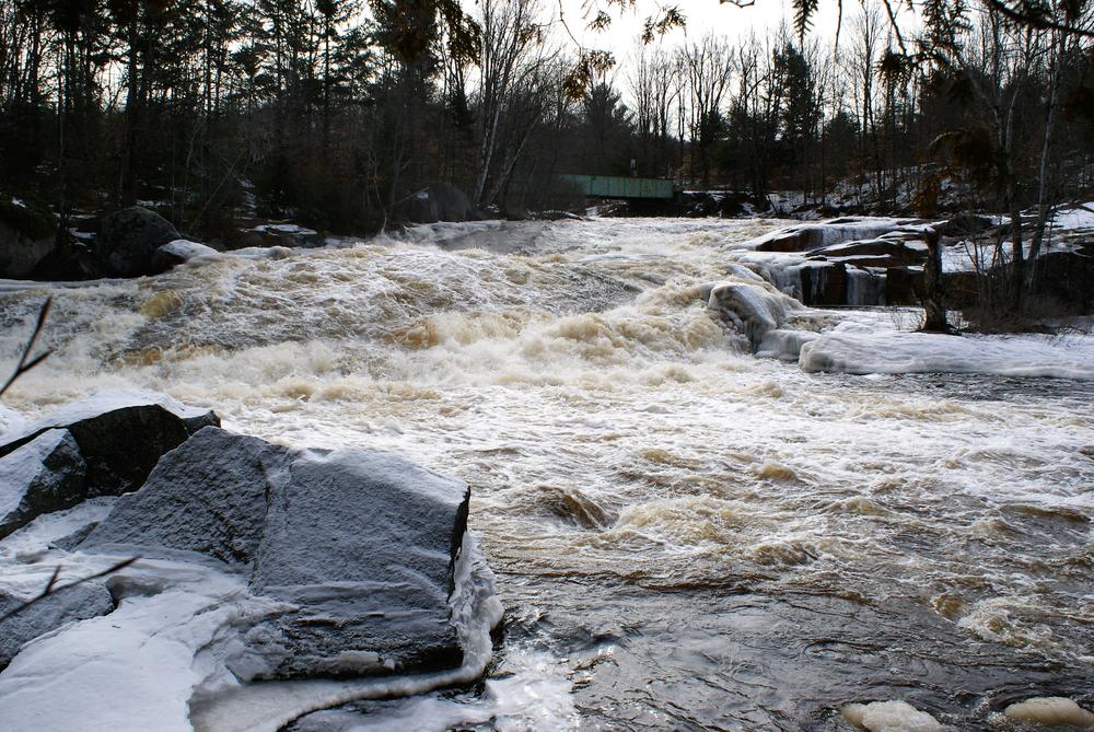
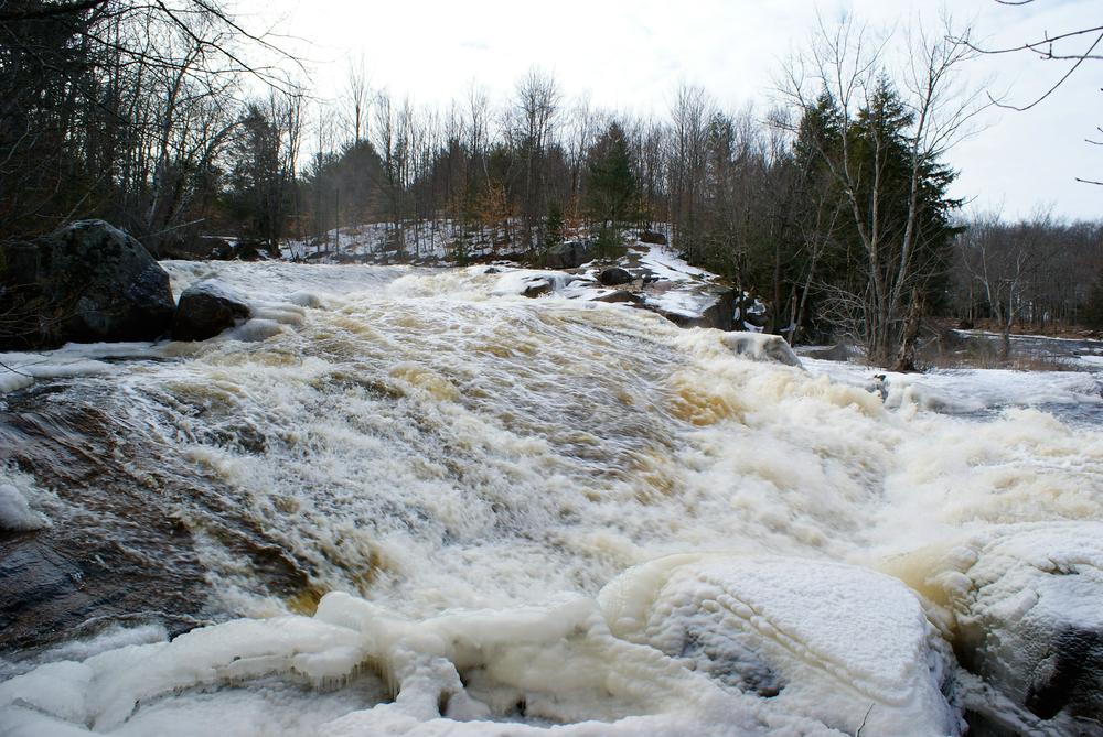
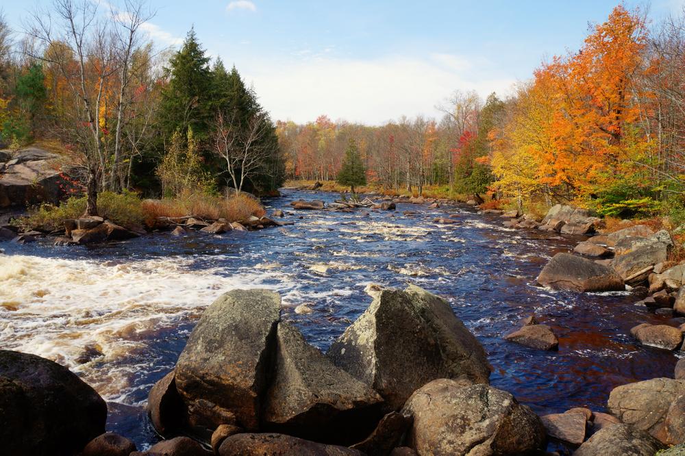
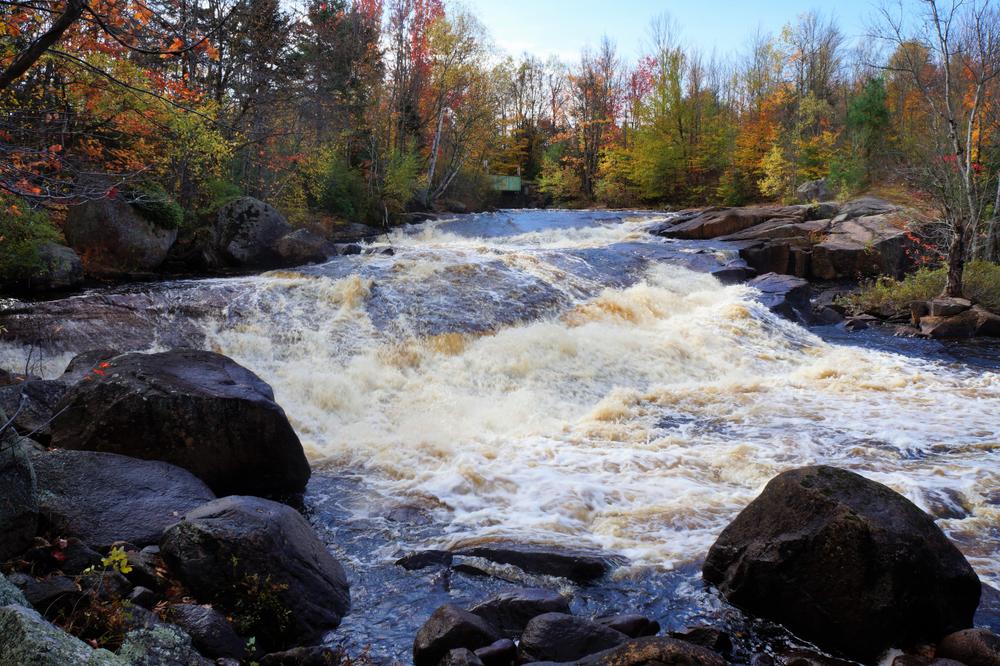
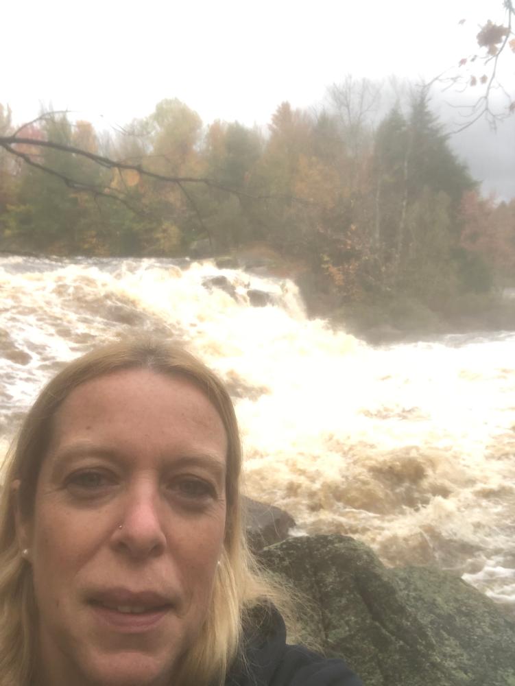
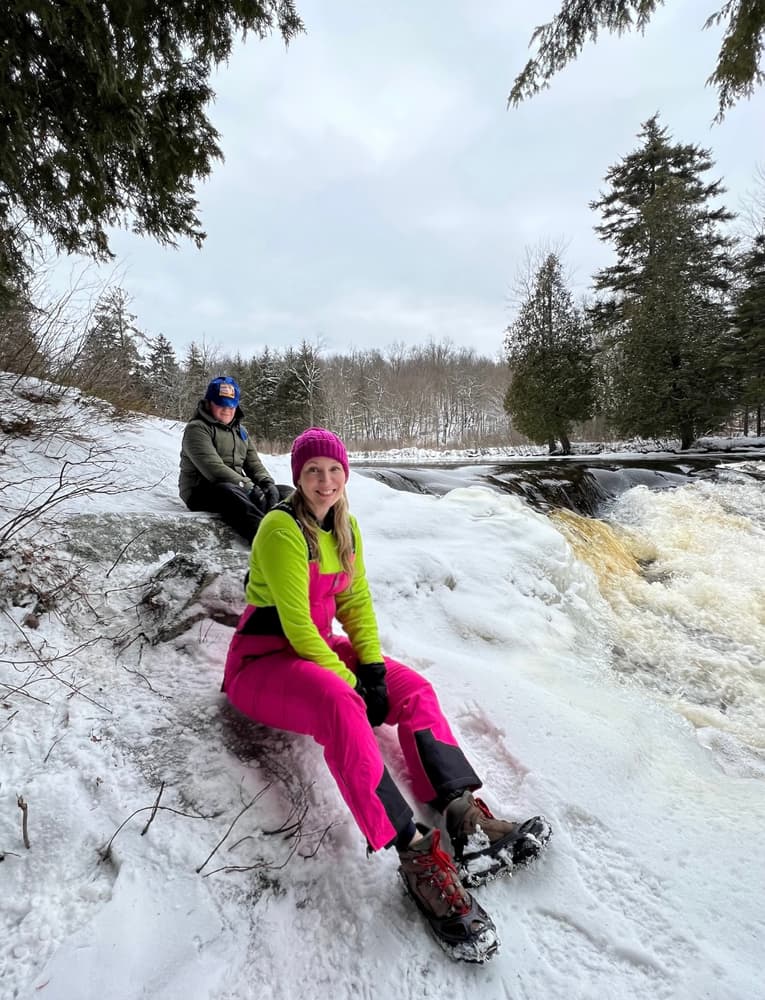
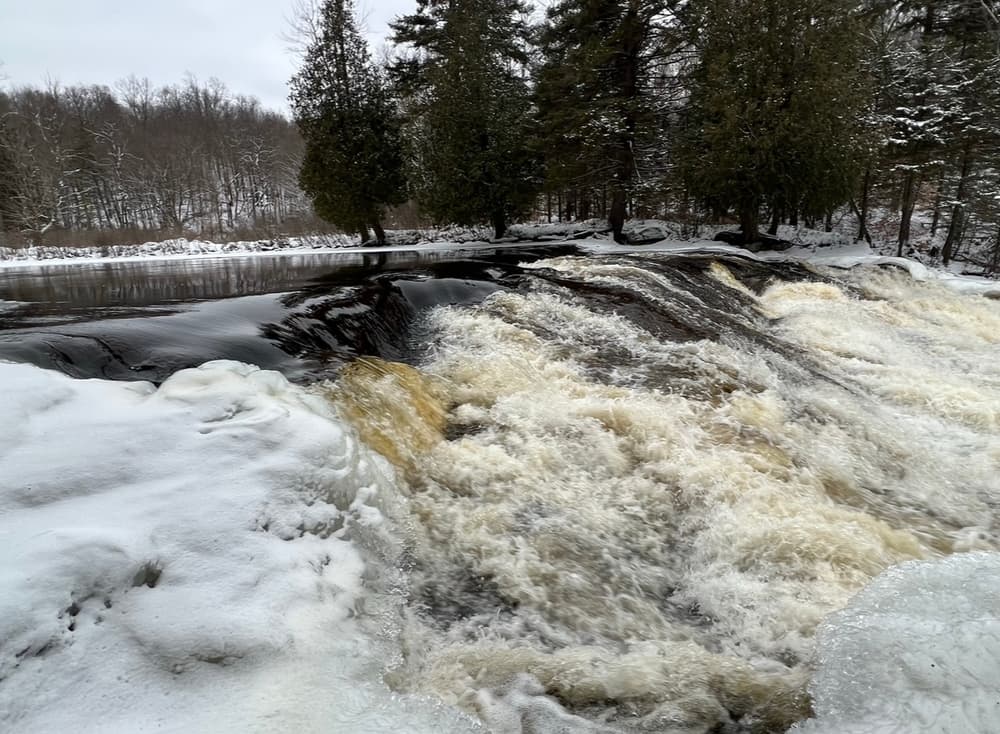
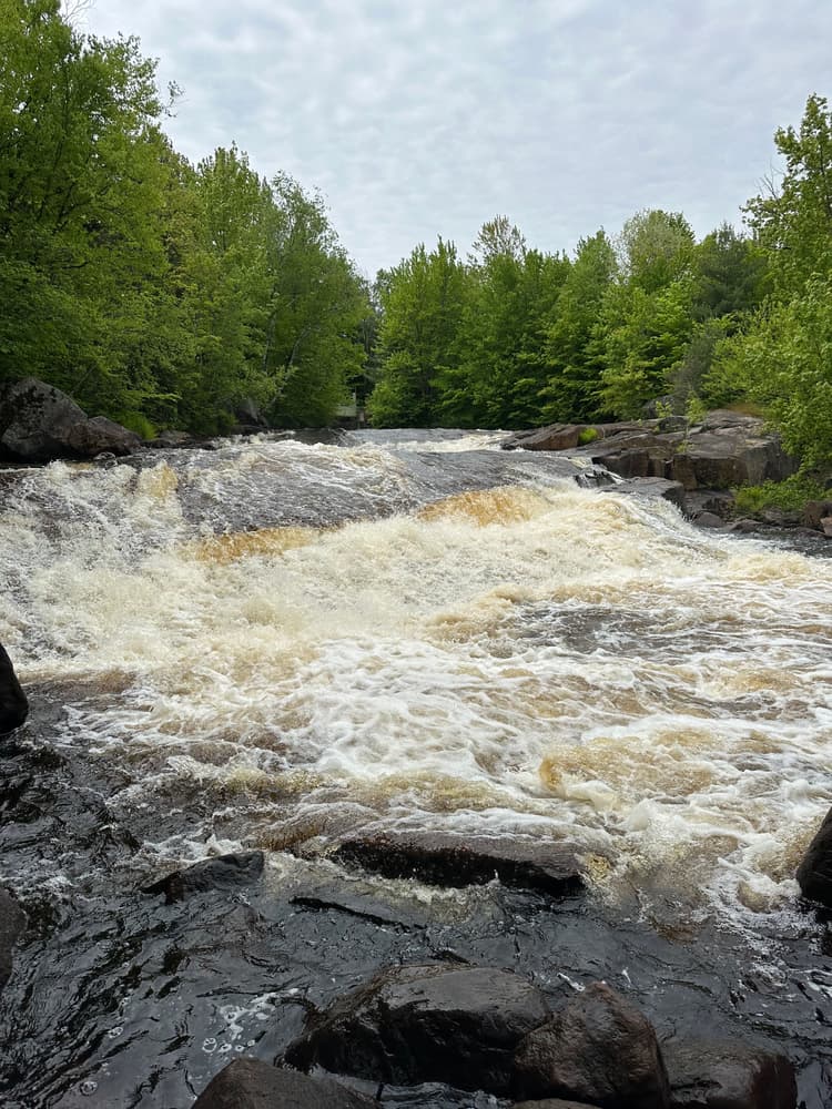
The trail to Sinclair Falls travels less than 0.1 miles down a steep bank from the top of the abutment for the vehicle bridge to the level of the Grass River. The falls are located within sight of the road and trailhead.

Other Information

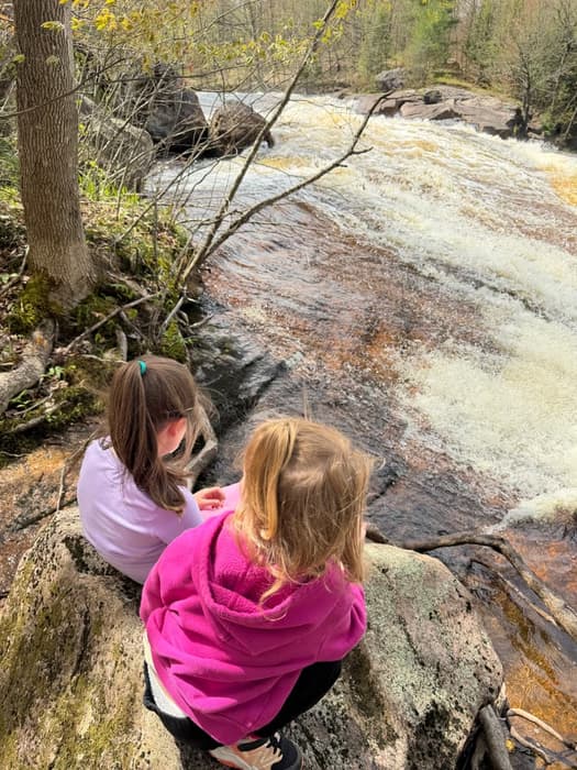
Powerful, fast-moving water and wet, slippery rocks are dangerous features of any waterfall - exercise caution while hiking or swimming near the falls.

Sinclair Falls is one of many spectacular waterfalls and hikes open to the public along Tooley Brook Road. To see the others, check the "Related Trails" section on this page just under the map.

These trails are part of the Grass River Wild Forest, a 54,000-acre collection of public forest preserves located in the towns of Clare, Clifton, Colton and Fine in St. Lawrence County and managed by the New York State Department of Environmental Conservation.


This trail is part of the Great 8 Challenge. Learn more!


Trail Manager

For more information, please visit the New York State Department of Environmental Conservation online, or contact:

New York State Department of Environmental Conservation Potsdam Sub-Office

New York State Department of Environmental Conservation Potsdam Sub-Office
190 Outer Main Street - Suite 103
Potsdam, NY 13676
Phone: 315-265-3090
information.r6@dec.ny.gov
View website

Nearby Businesses

Trail Tips

Keep Wildlife Wild
Do not feed, follow, approach, or otherwise harass wild animals. Doing so may alter their natural behaviors. Store your food and trash securely and keep your camp tidy to prevent unwanted animal guests.
Legend
Hide All

Trailhead Information

There are two parking lots near the Sinclair Falls Trailhead. The first is located on Tooley Pond Road, 2.3 miles east of Degrasse. The second is a few hundred feet from the first, just off from Tooley Pond Road, on Lake George Road before the bridge over the Grass River. The GPS coordinates for the trailhead are: 44.337814, -75.045459.

Click on a parking icon to get custom directions
Please Sign In or Create Account to add comments.
rtuttle
April 25, 2023
Hiked 4/23/23 with wife and toddlers. VERY quick and short trail to the falls. Some interesting things to explore around the falls for a few minutes, but definitely not worth a special trip if only planning for this hike. I would recommend Rainbow, Sinclair and Basford all for the same trip at a minimum, and then you can cross off 3 Great 8 Challenge trails all in one trip that way. If you do these 3 in the order listed above, you work your way back toward Degrasse for a simple multi hike trip that can be done in a couple hours or so.
SHARE THIS TRAIL

Add Trail Log

Please wait…
Join In on the Fun!
Log in or create an account below to unlock all the great features of STLC Trails: keep track of trails you want to do, preserve memories of trails you’ve done, earn badges, and more!
Your log in attempt was not successful. Please try again.
    Lost your password? Reset your password
    Don't yet have an account?
    There was an issue with your submission. Please try again.
      * Indicates required field
      Already have an account? Login here
      Enter your username, and we will send you a new, randomly generated password to your email account.
      There was an issue with your submission. Please try again.

        Success! A new password has been emailed to you.

        Log in now

        Please wait…