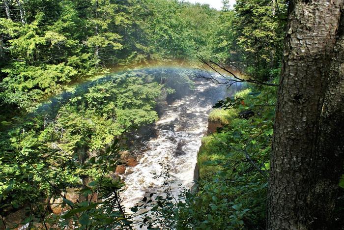
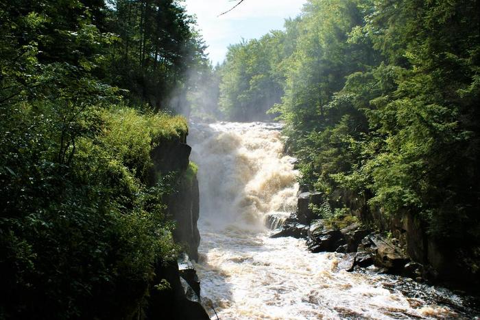
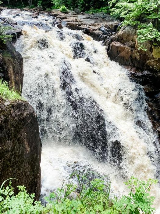
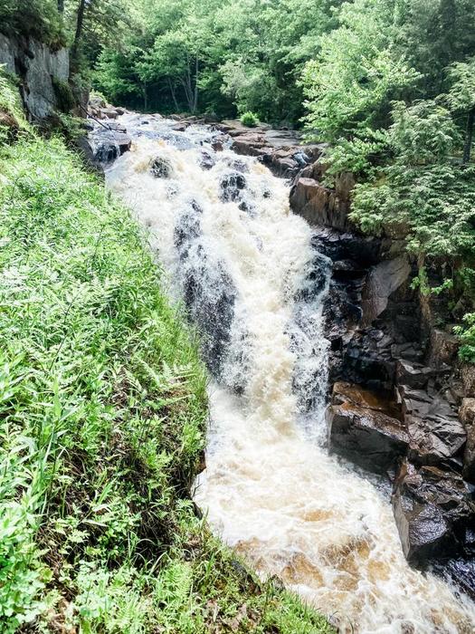
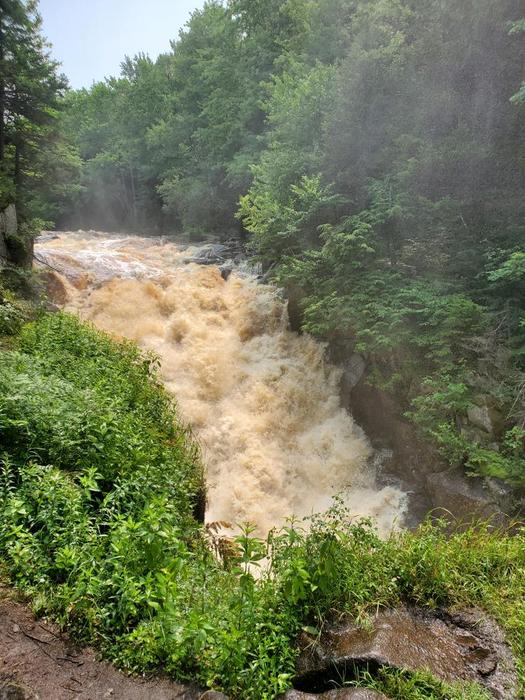
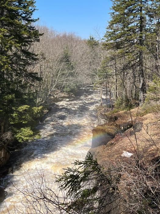
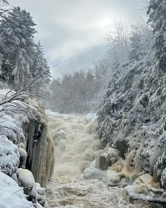
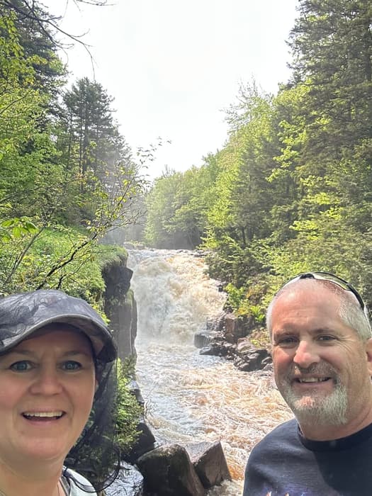
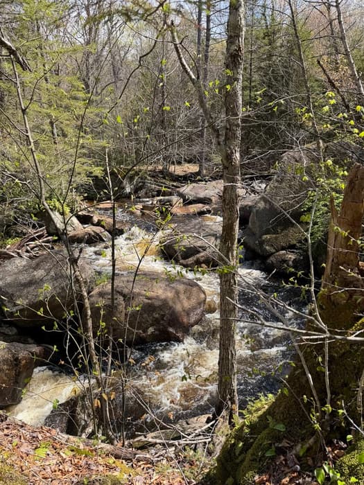
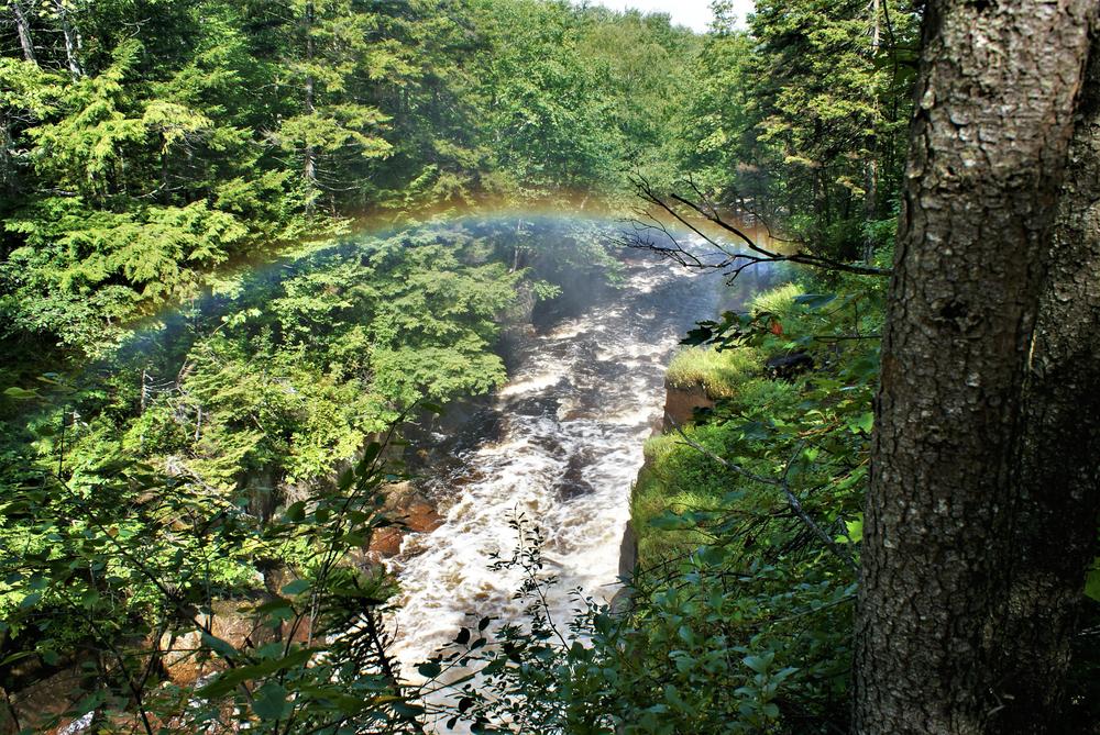
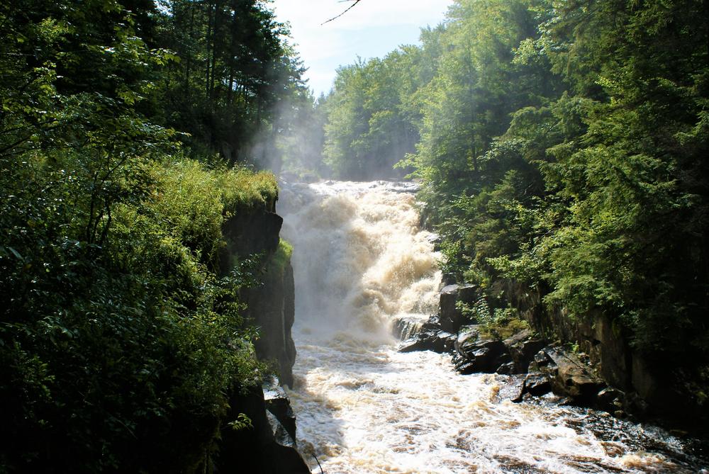
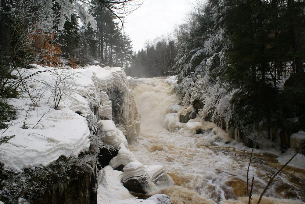
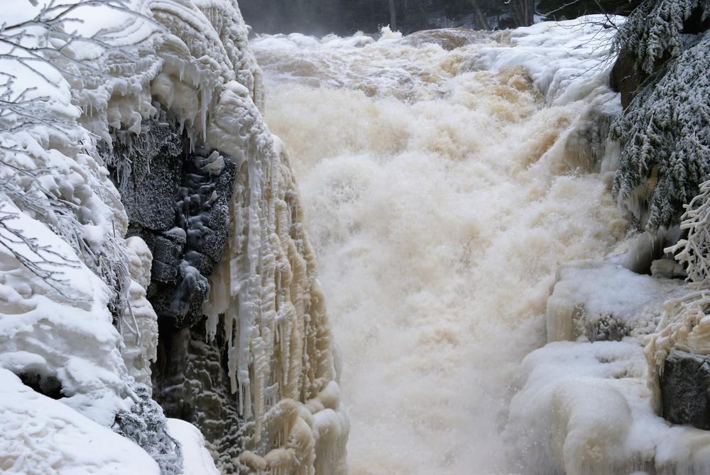
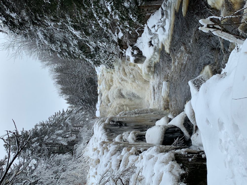
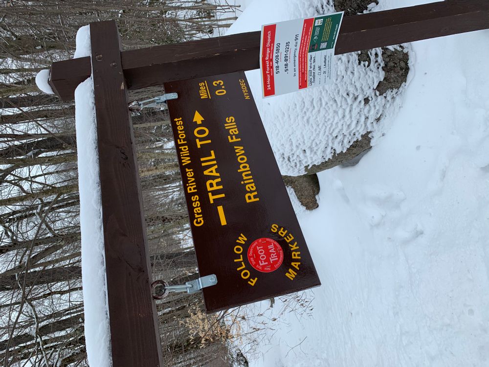
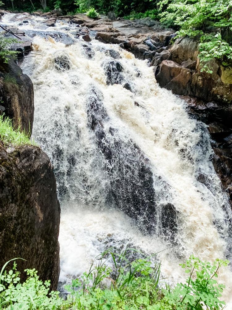
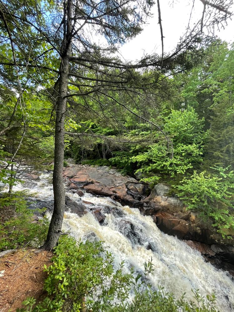
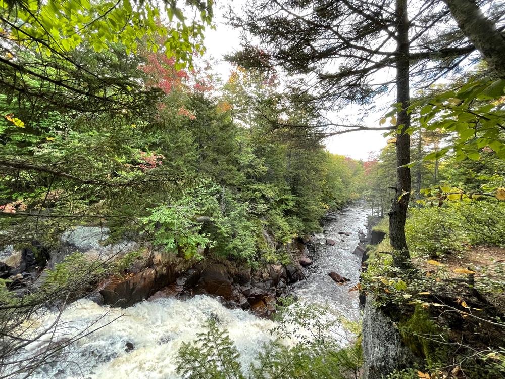
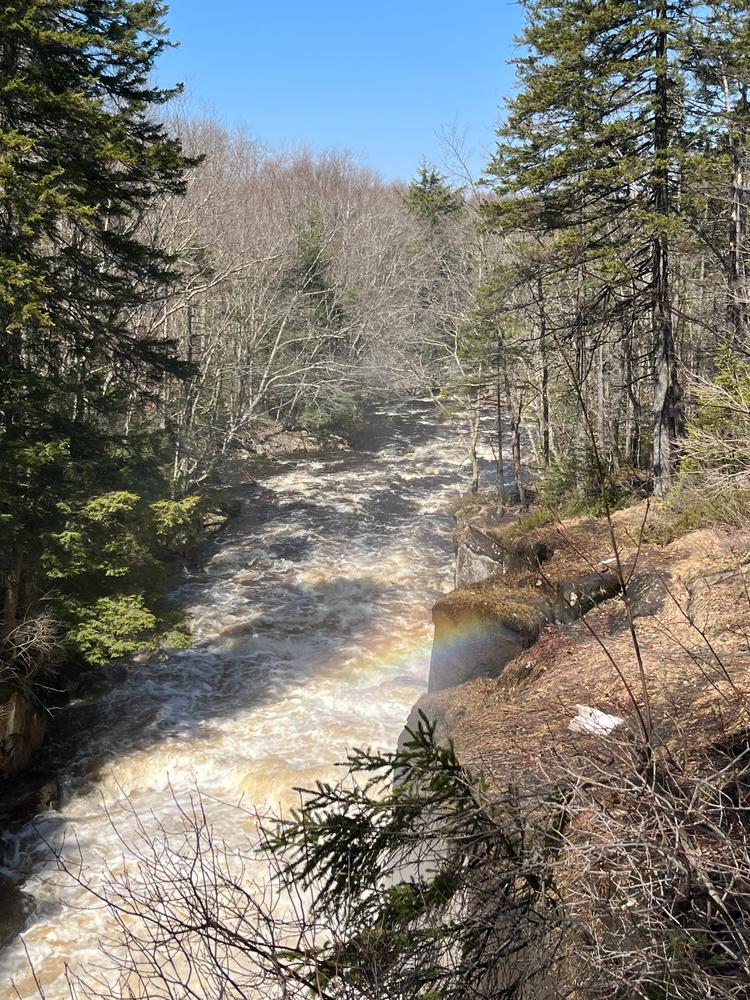
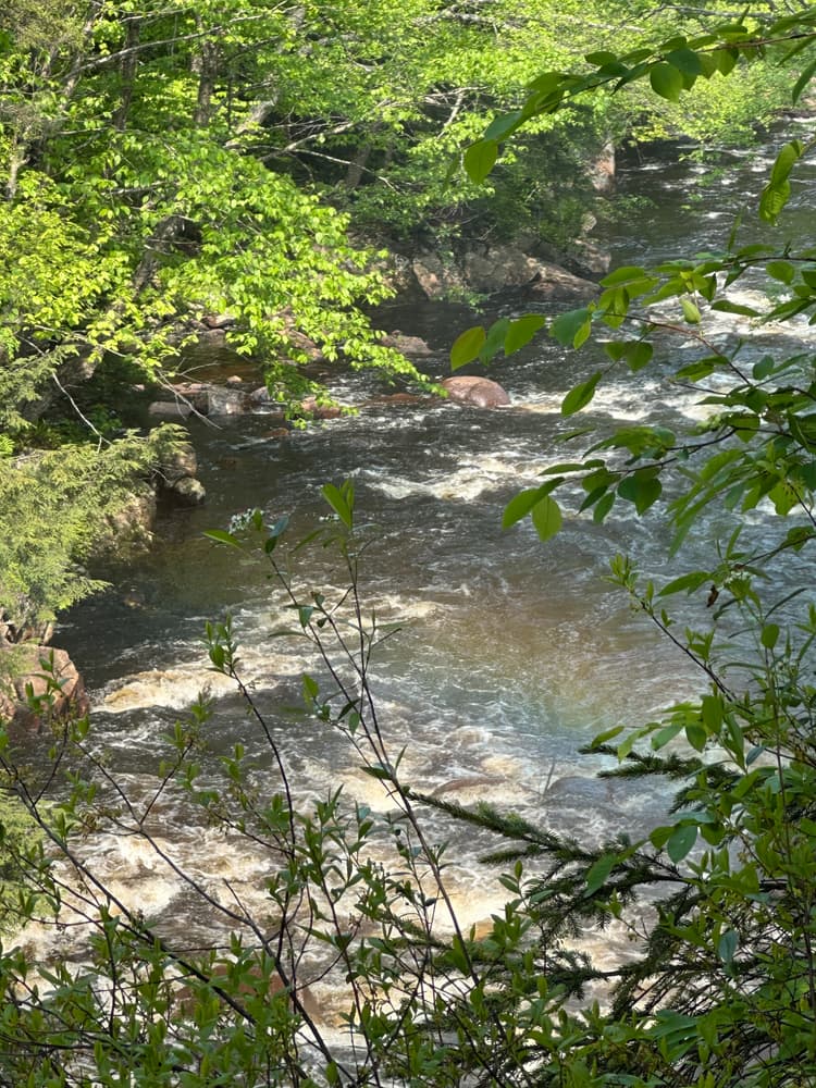
The Rainbow Falls Trail begins as a wide former tote road, closed to vehicle traffic by the row of boulders place near its junction with Tooley Pond Road. Within a few hundred feet, the trail passes into denser forest and narrows to a footpath. After only 0.2 miles, the trail reaches a narrow side channel of the Grass River that forms a small island in the river near the falls. The trail crosses onto the island via a narrow wooden footbridge over the deep crevice of the side channel. Hikers should exercise caution here. Once onto the island, the trail continues for 100 feet and then ends at the far side where the Grass River thunders over the gorgeous 25-foot drop of Rainbow Falls.
Powerful, fast-moving water and wet, slippery rocks are dangerous features of any waterfall - exercise caution while hiking or swimming near the falls.
Rainbow Falls is one of many spectacular waterfalls and hikes open to the public along Tooley Brook Road. To see the others, check the "Related Trails" section on this page just under the map.
These trails are part of the Grass River Wild Forest, a 54,000-acre collection of public forest preserves located in the towns of Clare, Clifton, Colton and Fine in St. Lawrence County and managed by the New York State Department of Environmental Conservation.
For more information, please visit the New York State Department of Environmental Conservation online, or contact:
![]()
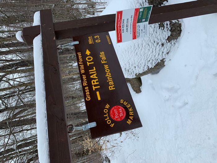
Park on the side of Tooley Pond Road, 10.9 miles west of the junction with NY-3 in Cranberry Lake. The GPS coordinates for the trailhead are 44.307289, -74.994178.
The trailhead is marked by several large boulders which restrict automobile access.
Success! A new password has been emailed to you.


