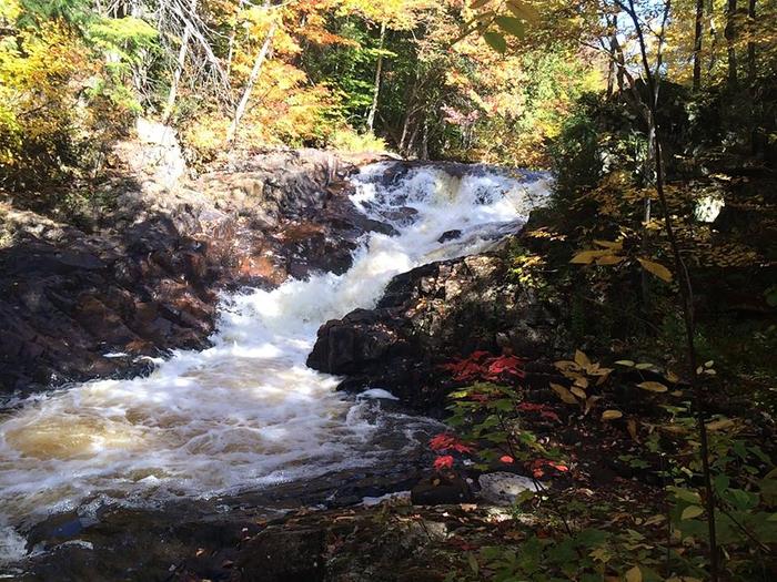
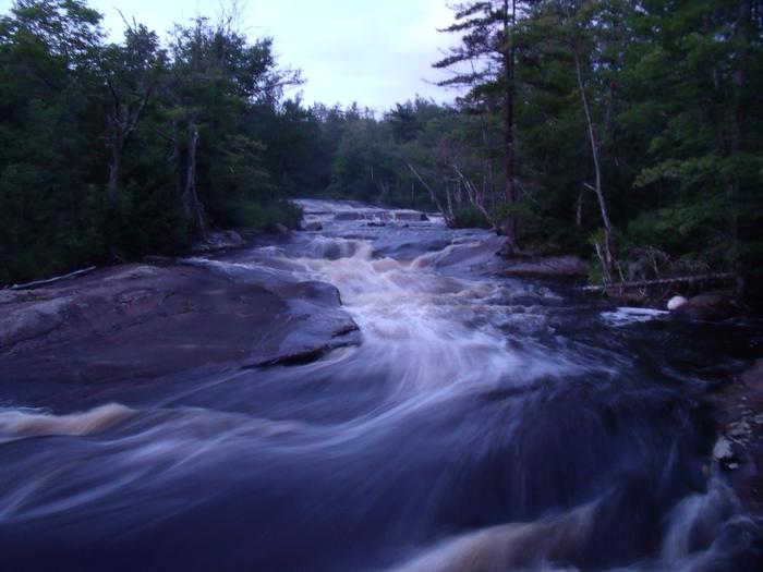
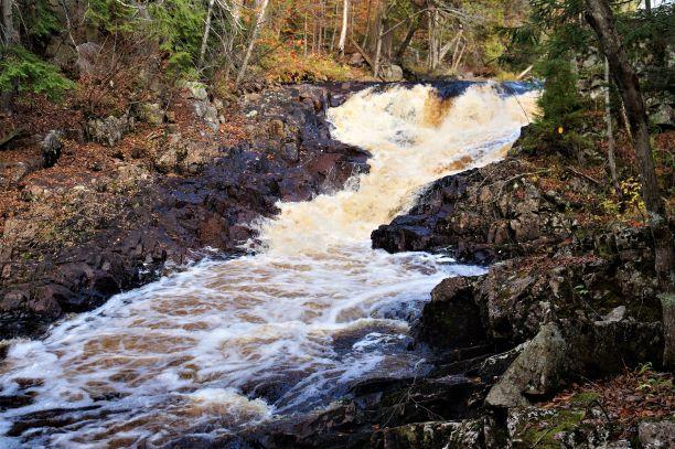
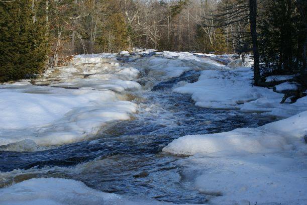
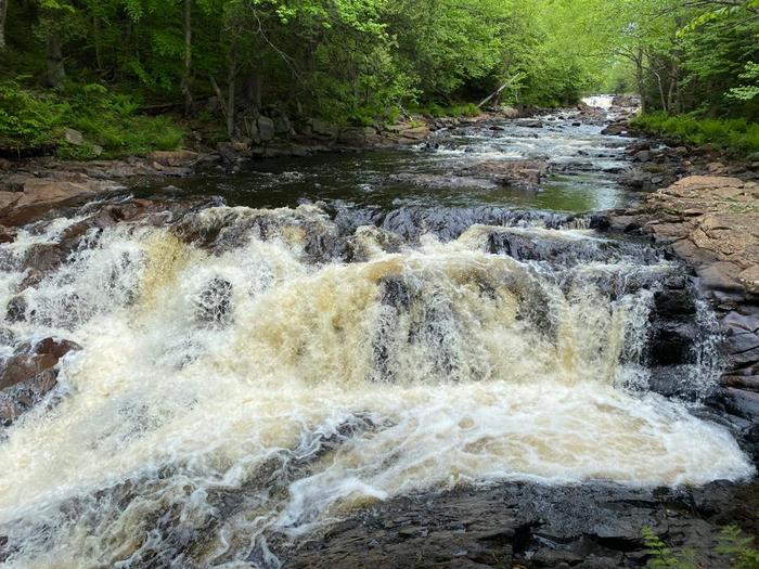
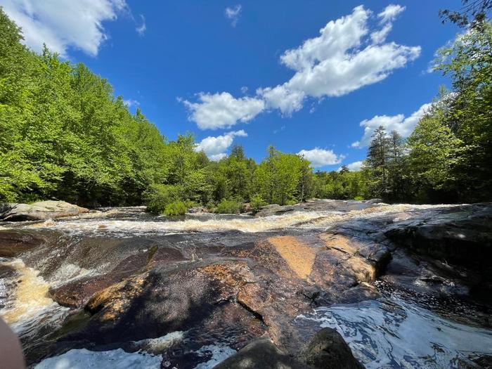
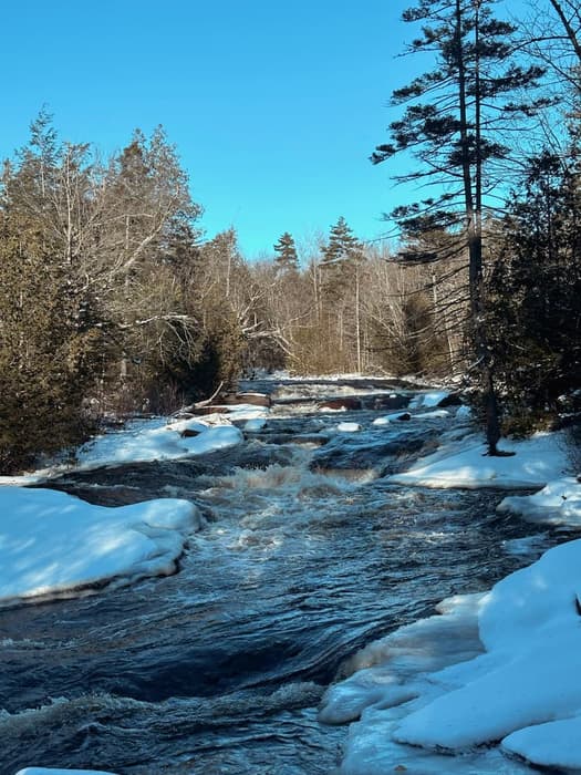
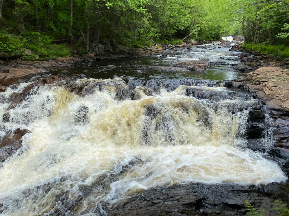
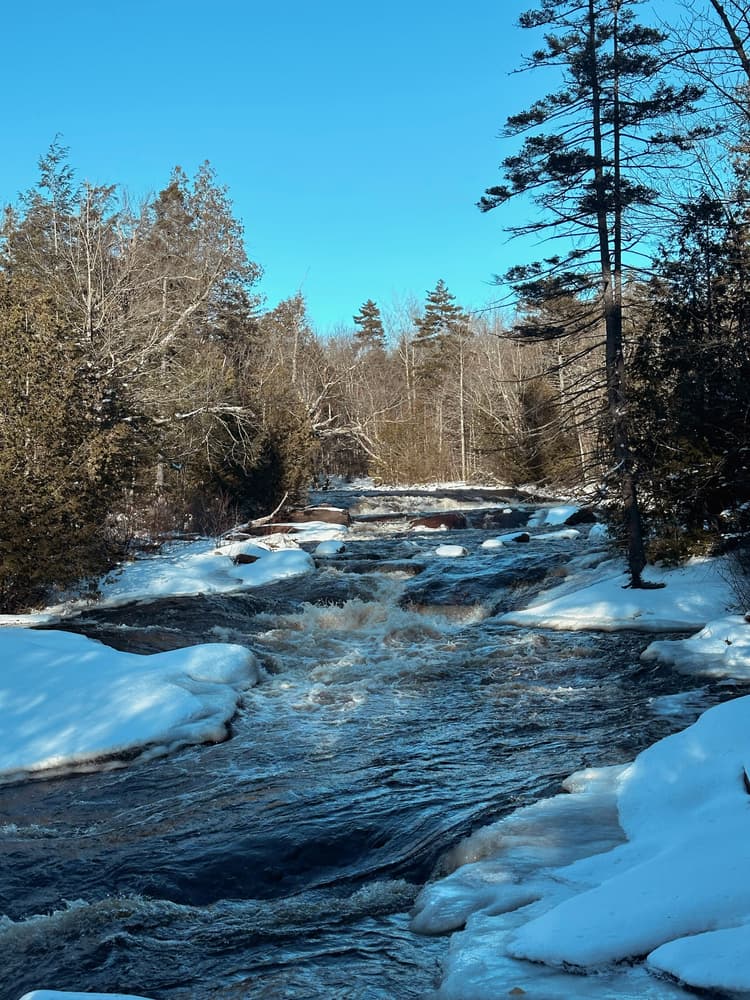
The Copper Rock Falls Trail travels just over 0.5 miles along the bank of the Grass River, passing Copper Rock Falls and then an additional two unnamed falls before reaching the flatwater pool above the falls.
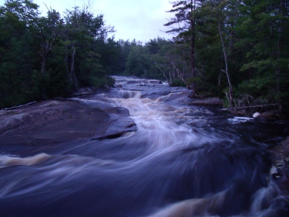
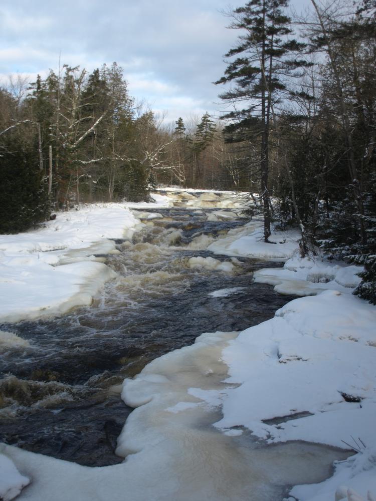
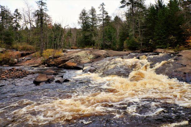
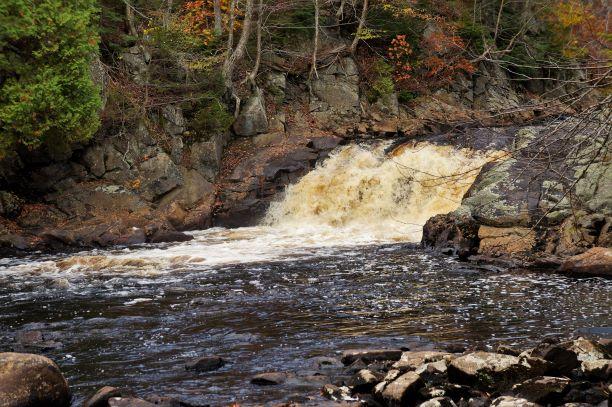
The trail follows a well worn path due north form the roadside trailhead and reaches the Grass River in 0.1 miles. Turning east and upriver, the trail keeps to the banks of the river for another 0.4 miles. Copper Rock Falls (0.2 miles) is a series of rapids over smooth red-hued rock, exposed at low water levels. The second set of falls (0.3 miles) along the trail is an unnamed 15-foot cascade. The third set of falls (0.4 miles), also unnamed, tumbles 10 feet. Above the third set of falls, the trail passes another patch of rough water and then reaches a flatwater pool at 0.5 miles.
Powerful, fast-moving water and wet, slippery rocks are dangerous features of any waterfall - exercise caution while hiking or swimming near the falls.
Copper Rock Falls is one of many spectacular waterfalls and hikes open to the public along Tooley Brook Road. To see the others, check the "Related Trails" section on this page just under the map.
These trails are part of the Grass River Wild Forest, a 54,000-acre collection of public forest preserves located in the towns of Clare, Clifton, Colton and Fine in St. Lawrence County and managed by the New York State Department of Environmental Conservation.
For more information, please visit the New York State Department of Environmental Conservation online, or contact:
![]()
Park on the shoulder of Tooley Pond Road, 8.2 miles west of the junction with NY-3 in Cranberry Lake. There is ample parking on the north side of the road. The trailhead is marked by a white paper sign beneath a Forest Preserve sign on a roadside tree. The GPS coordinates are 44.285975, -74.960061.
Success! A new password has been emailed to you.


