Discover Basford Falls

Short trail to the edge of the wide cascades of Basford Falls on the Grass River.
TRAIL ACTIVITY
LENGTH
0.70 miles, Round Trip
DIFFICULTY
Easy
SURFACE
Dirt/Forest Floor, Rocks/Ledge
PETS
Permitted
FEES
No

Description

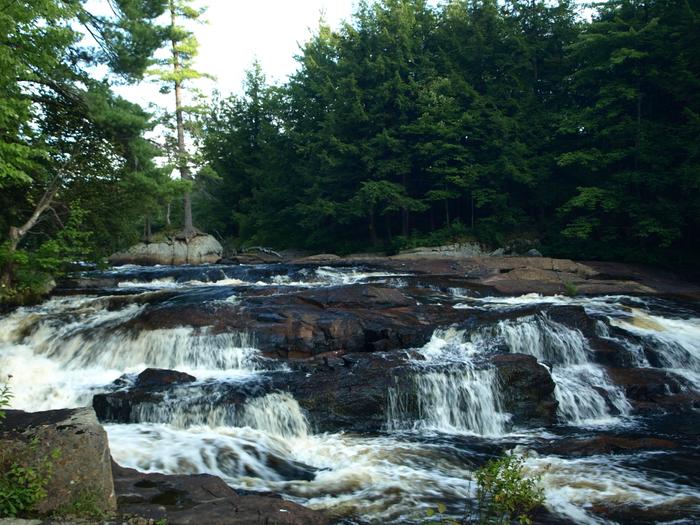
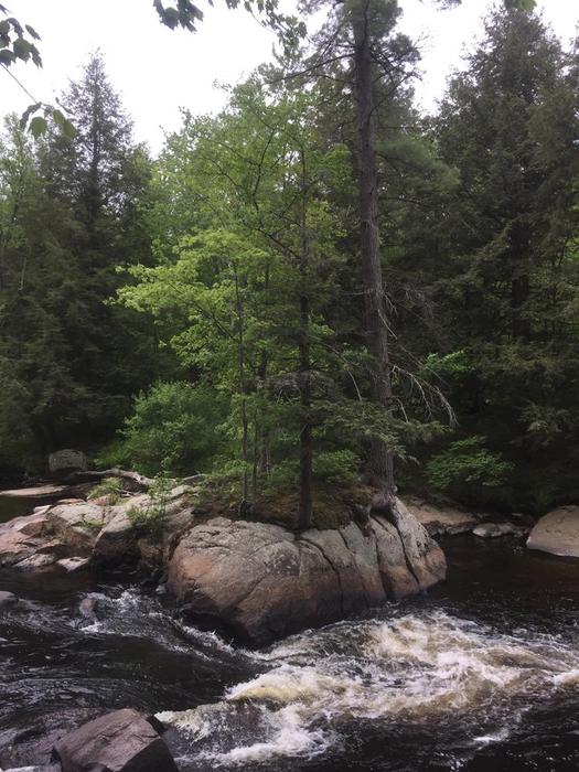
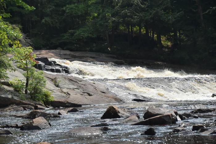
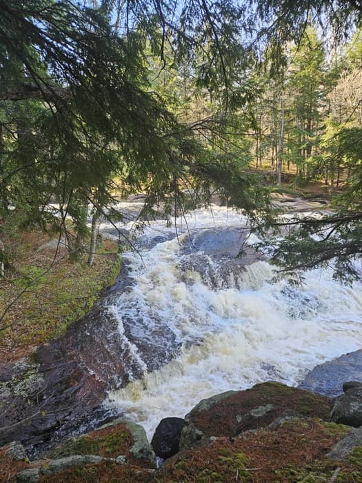
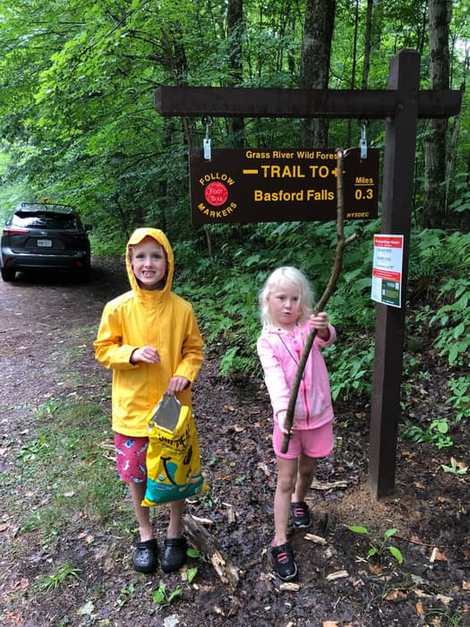
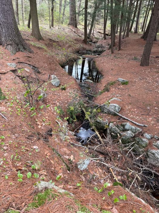
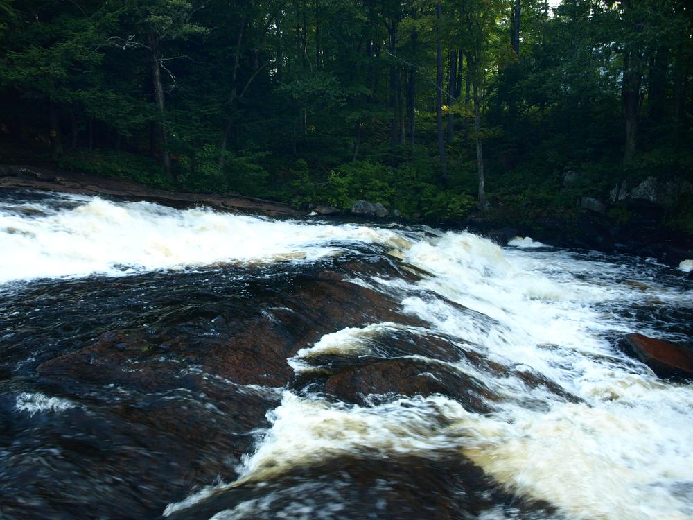
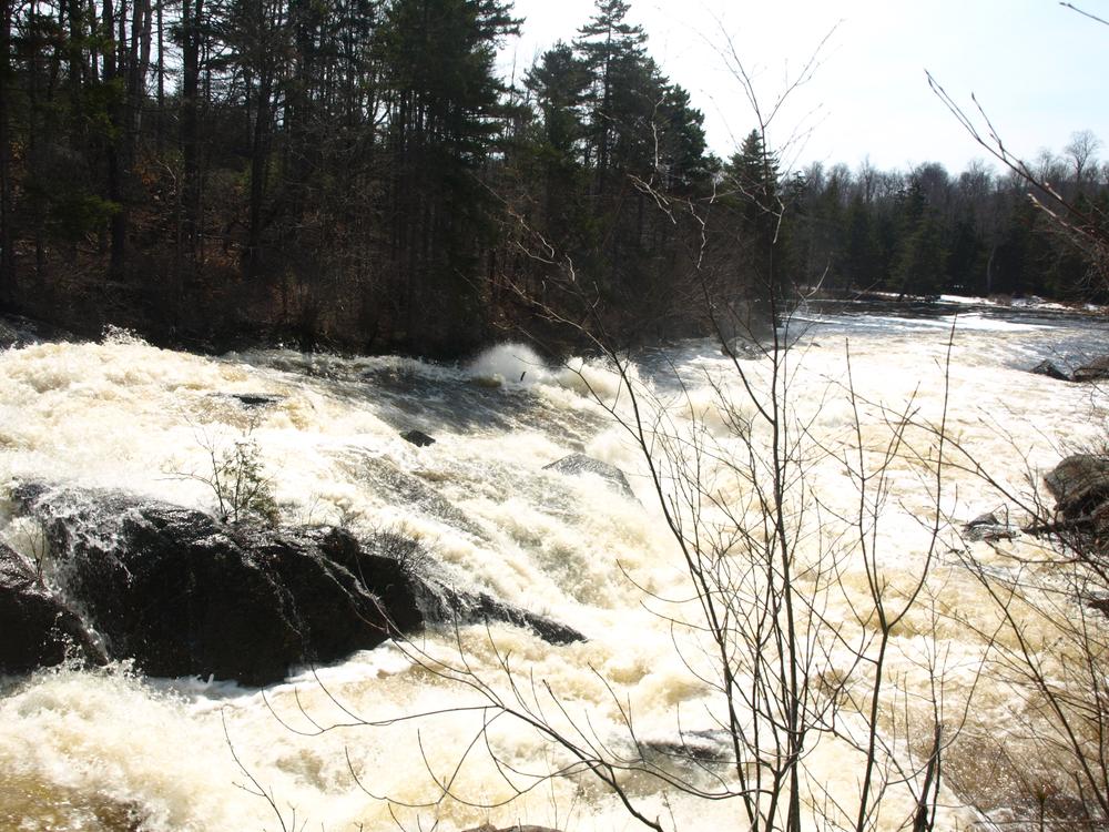
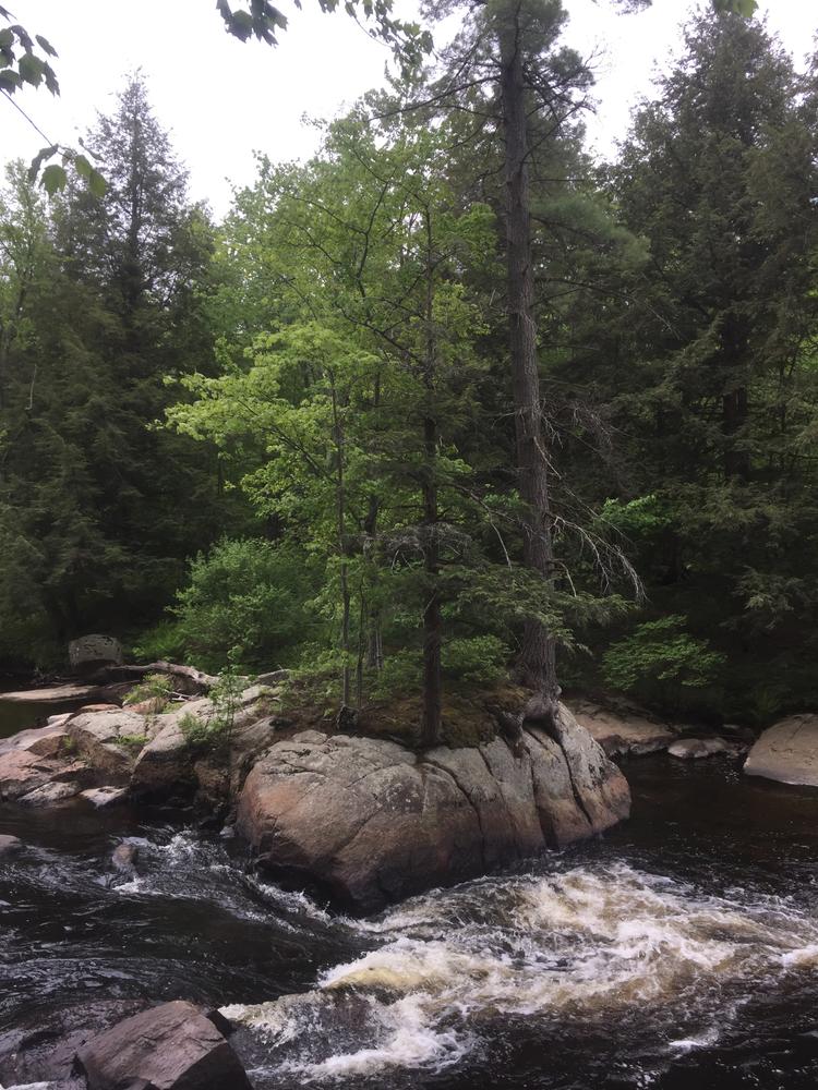
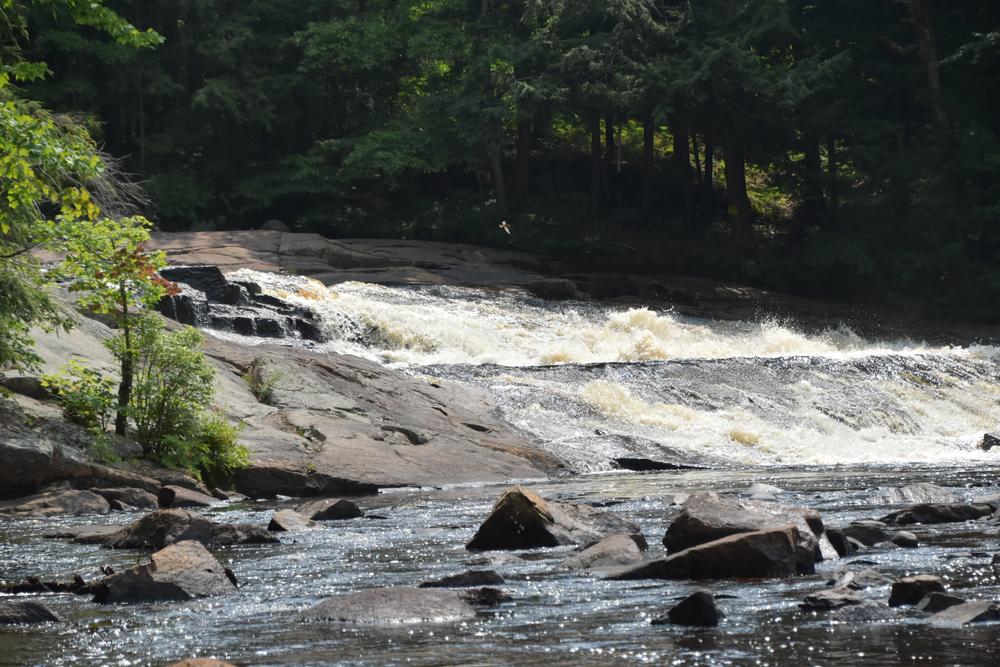
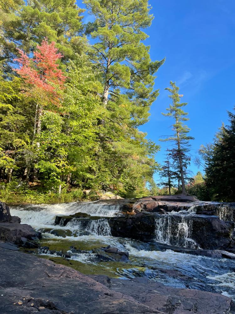
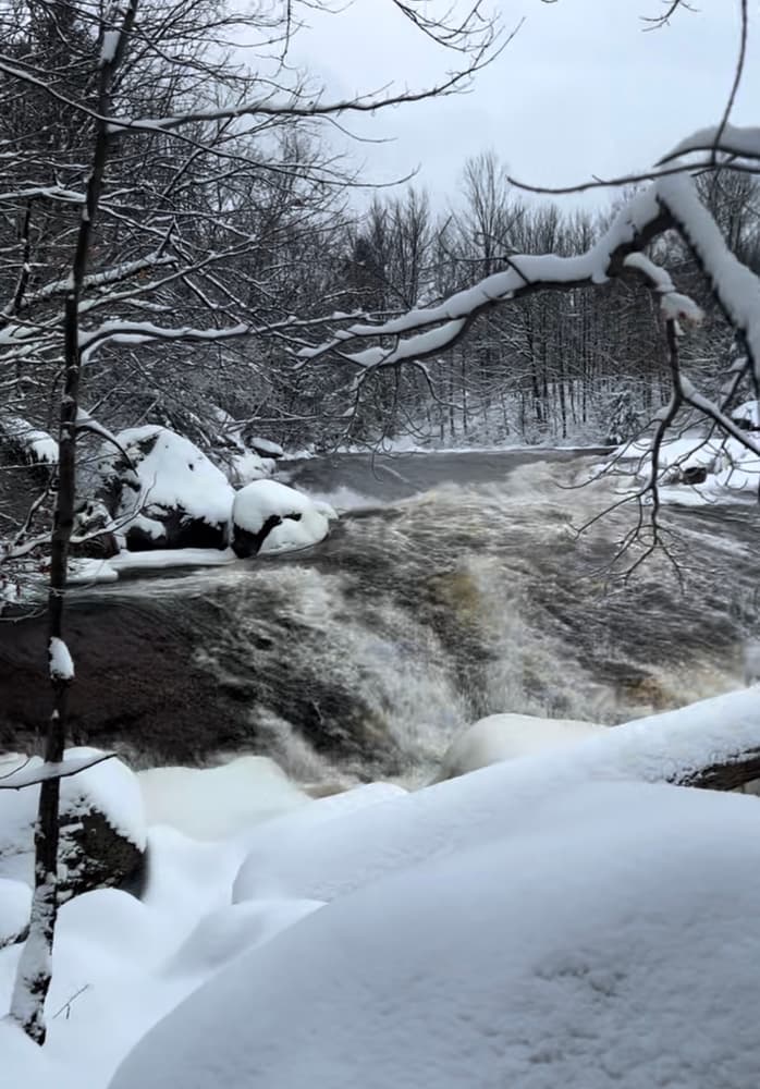
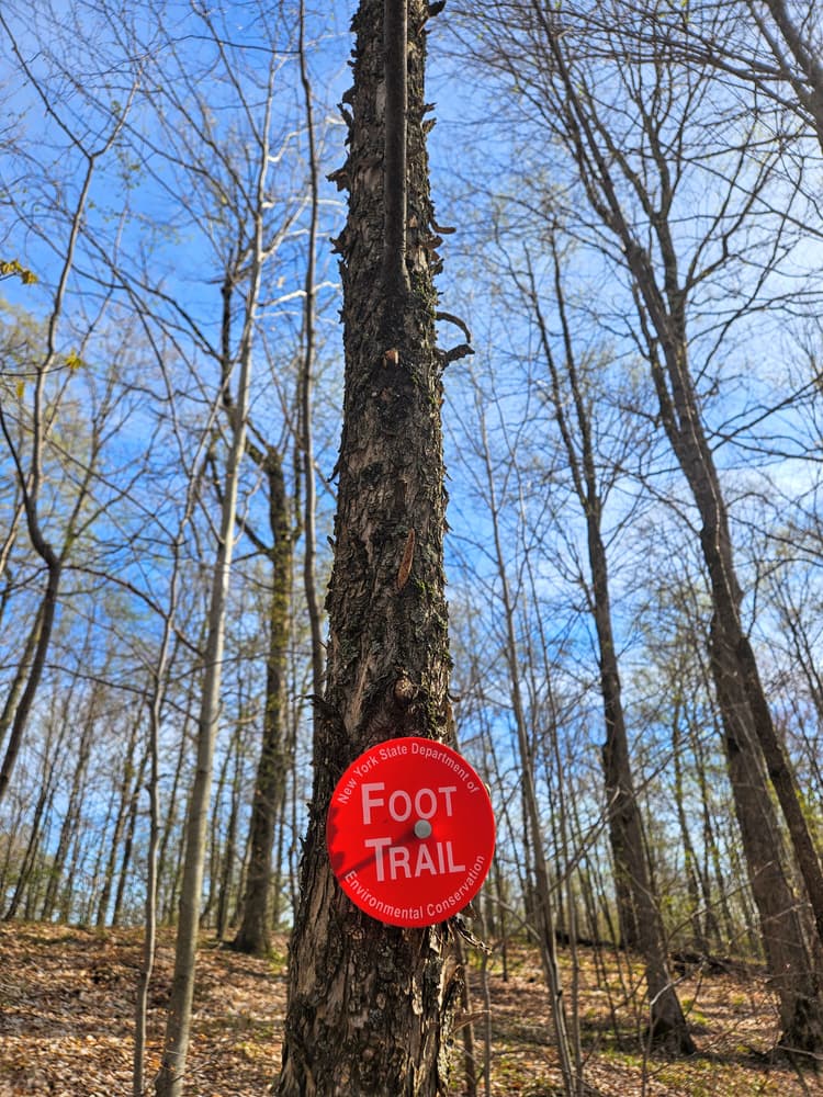
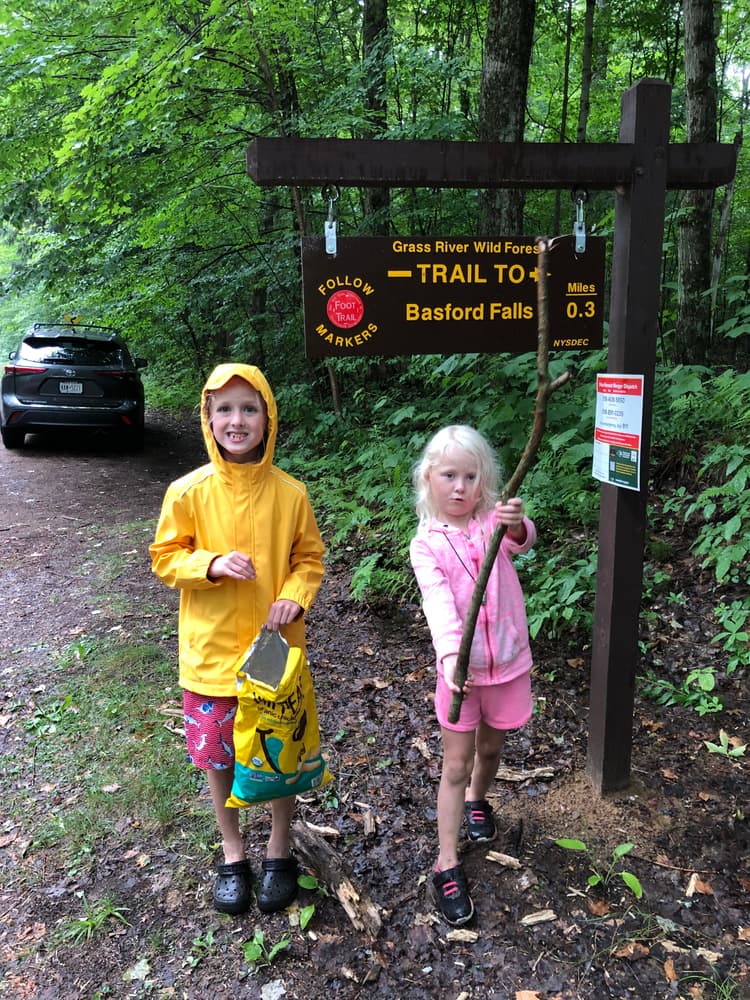
From Tooley Pond Road, the Basford Falls Trail travels 0.3 miles along a steadily narrowing path through a mature predominantly pine forest. Several very large trees may be found along the trail. The trail ends on the shores of the Grass River next to the 18-foot slanted Basford Falls. 

Large bedrock ledges, dry when the water is low enough, offer a prime sunning spot beside the falls.

Other Information

Powerful, fast-moving water and wet, slippery rocks are dangerous features of any waterfall - exercise caution while hiking or swimming near the falls.

Basford Falls is one of many spectacular waterfalls and hikes open to the public along Tooley Brook Road. To see the others, check the "Related Trails" section on this page just under the map.

These trails are part of the Grass River Wild Forest, a 54,000-acre collection of public forest preserves located in the towns of Clare, Clifton, Colton and Fine in St. Lawrence County and managed by the New York State Department of Environmental Conservation.

 
This trail is part of the Great 8 Challenge. Learn more!


Trail Manager

For more information, please visit the New York State Department of Environmental Conservation online, or contact:

New York State Department of Environmental Conservation Potsdam Sub-Office

New York State Department of Environmental Conservation Potsdam Sub-Office
190 Outer Main Street - Suite 103
Potsdam, NY 13676
Phone: 315-265-3090
information.r6@dec.ny.gov
View website

Nearby Businesses

Trail Tips

Carry in, Carry out
This goes for trash, leftover food, toilet paper, and hygiene products. If you brought it into nature, please bring it out. Help out by picking up other trash you see.
Legend
Hide All

Trailhead Information

Park along the shoulder of Tooley Pond Road 1.4 miles from the village of Degrasse. The trailhead is marked by a small white DEC paper sign nailed to a tree. The GPS coordinates are 44.342978, -75.053375.

The trail begins on the west side of the road next to a large boulder.

Click on a parking icon to get custom directions
Please Sign In or Create Account to add comments.
rtuttle
April 25, 2023
Hiked 4/23/23 with wife and toddlers. Fun and rolling trail that takes you up and down a few hills on the way to the falls. Very easy trail to follow, and well maintained. Falls were interesting, although not as impressive as Lampson or Rainbow. The area just above the falls is an open pine grove that requires crossing a very small stream feeding into the river. This would be a nice place for a picnic lunch. Note we did find some ticks on the kids when back out to the truck.
SHARE THIS TRAIL

Add Trail Log

Please wait…
Join In on the Fun!
Log in or create an account below to unlock all the great features of STLC Trails: keep track of trails you want to do, preserve memories of trails you’ve done, earn badges, and more!
Your log in attempt was not successful. Please try again.
    Lost your password? Reset your password
    Don't yet have an account?
    There was an issue with your submission. Please try again.
      * Indicates required field
      Already have an account? Login here
      Enter your username, and we will send you a new, randomly generated password to your email account.
      There was an issue with your submission. Please try again.

        Success! A new password has been emailed to you.

        Log in now

        Please wait…