STLC Trails has many special features and functions that can help you find and explore great trails in Saint Lawrence County. Once you’ve mastered the basics (see Map Basics and Search Basics), check out some of our favorite Tips & Tricks about using a detailed trail page that might not be as obvious at first glance.
- Use the quick facts and photos at the top of a detailed trail page to quickly assess if the trail is right for you. It can be helpful to note the surface of the trail (is it paved or crushed gravel?) when first considering if you want to visit and what clothing or equipment you might need.
- Ready to head out, but you’d like to print out the basic information about a trail to take with you? Click “Print Trail Info” just below the tabbed section on the lower left corner of the green bar. Note that the trail map itself will not print, so be sure to download or find a trail map from the trail manager.
 Use the sharing widgets shown below and to the right of the tabbed section to quickly share the link to a particular trail page with your friends using Facebook, Twitter, email, and many other social media platforms.
- Add this site to your device's home screen for easy access.
- iOS (Safari): Tap the
 icon, then select "Add to Home Screen"
- Android (Chrome): Open the menu
 or
or  and select "Add to Home Screen"
Check out these features in the Details tab of each trail page:
- Do you have a specific question about a trail? Try contacting the Trail Manager using the information provided at the bottom of the Details tab. You can also contact STLC Trails directly, who may be able to help or connect you with someone who can (Contact Us).
- The handy Current Weather section in the right column can help you prepare just before you head out. Will you need sunscreen, a raincoat, or warm hat and gloves? Or you can click the link to Dark Sky to see the forecast to plan for a future outing.
- Our partners at Nature Up North are using technology to encourage and enhance outdoor experiential learning by enabling people to share their experiences and observations in nature. Learn more about their work and what other people are seeing in nature by clicking to "Explore this area on the Nature Up North Encounters Map" (under the weather report).
 Add a fun challenge to your outing by Geocaching on or near your trail. Geocaching is a real-world, outdoor treasure hunting game using GPS-enabled devices. Participants navigate to a specific set of GPS coordinates and then attempt to find the geocache (container) hidden at that location. STLC Trails displays a “Nearby Geocaches” section in the right column of each trail page. This link will take you to geocaching.com. If you’re logged into an account on their site, the link will take you straight to a map of local geocaches found in the vicinity of the trail you were just viewing. Otherwise login or make a new, free account to start exploring (once logged in, you can use the “Nearby Geocaches” link again to take you to the geocaches near your trail).
 Looking for a place to buy some supplies, learn about history, or grab a bite to eat? See what businesses are closest to the trail you plan to visit in the Nearby Businesses section. Links will bring you to more information on the Chamber of Commerce website, or you can View Business Locator Map to explore all featured businesses in the Saint Lawrence County.
The other tabs have got it going on too! Here are some fun things about the Trail Map, Directions, and Comments tabs:
- Show your location. If you are using STLC Trails on a mobile phone with Wifi or cellular data service, click the “Go to my location” button in the Trail Map tab. Enable location services by saying “Yes” when your browser asks if you will allow STLC Trails to determine your location. A blue dot will then appear on the map showing STLC Trails’ best guess at where you are! As you move down the trail or road, the blue dot will move with you. This is a convenient way from your browser to track progress or see where you are on the trail.
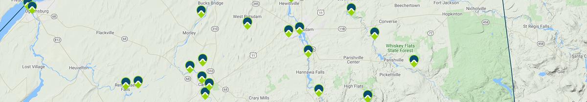
- Many regional trails are interconnected. On many detailed trail pages you can View Connector Trails below the map in the Trail Map tab to see how the trail you are looking at fits with others nearby. Click “Show” to display the lines for a connector trail on the map. Click “View Trail Posting” to open the detailed trail page for a connector trail.
- The Directions tab provides information about how to get to parking areas and trailheads. You can click on a parking icon on the map in this tab to "Get directions to here" which uses Google Maps to navigate from your current location directly to the parking area!
- Users with free STLC Trails accounts (Create New Account) have the ability to post and share comments about individual trails. User comments are displayed in the Comments tab and may include descriptions of a person’s experience, alternate directions to a trailhead, or advice on when to go. Feel free to share your own comments... and photos are welcome too!