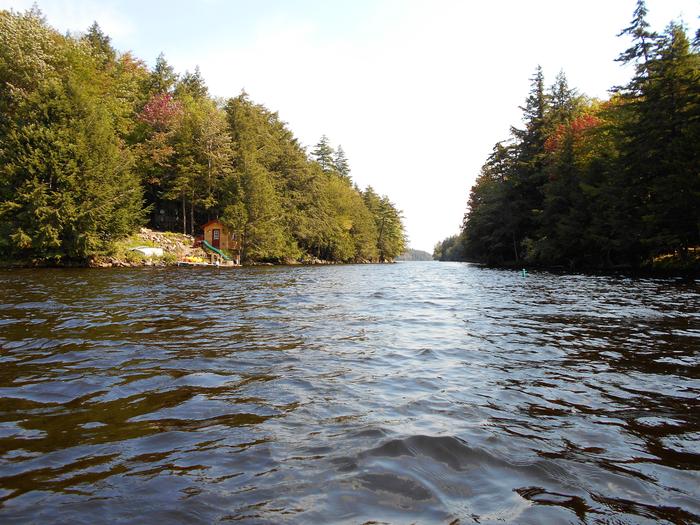
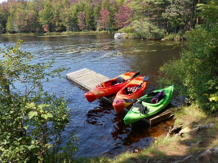
Paddling on Cranberry:
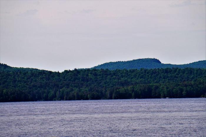
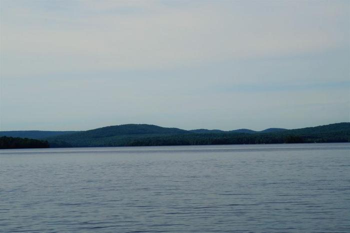
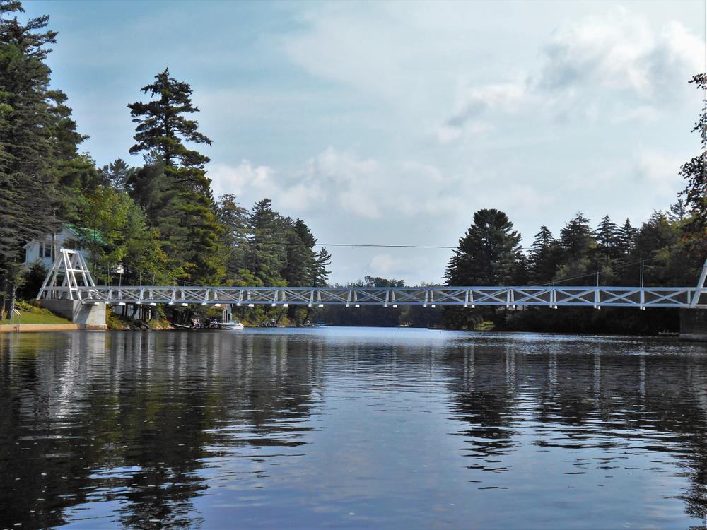
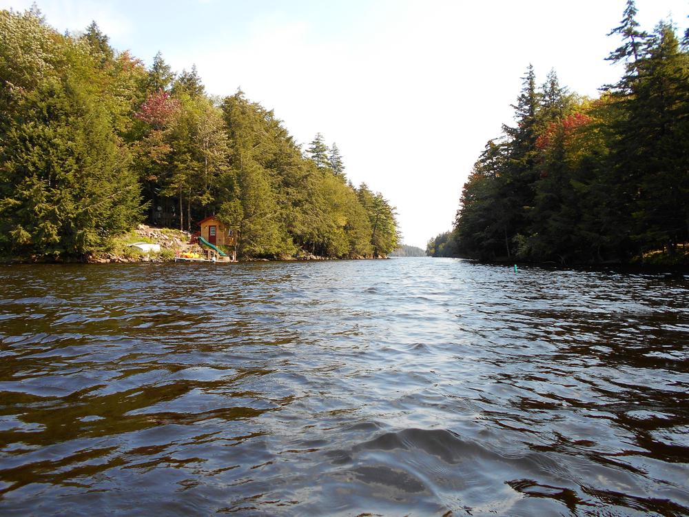
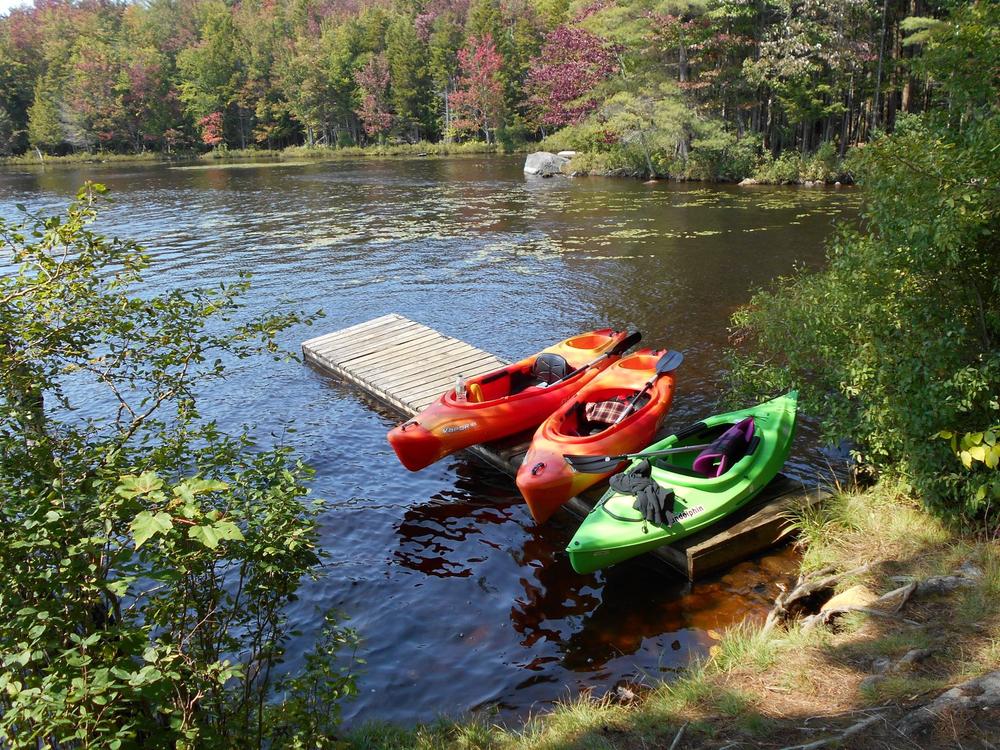
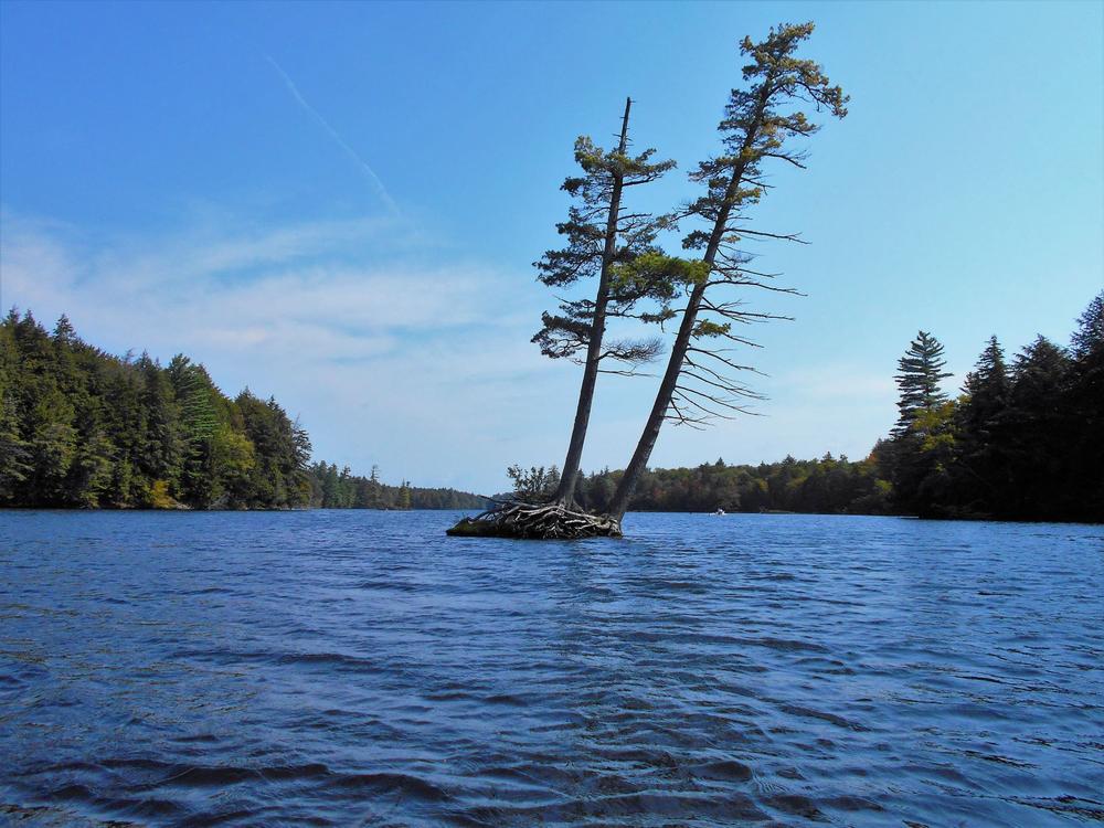
Cranberry Lake is the third largest in the Adirondacks, covering 11 square miles with 55 miles of shoreline, of which more than 40 miles are state-owned. The size of the lake coupled with its shallowness (average depth is 6 feet) can lead to strong wind and wave conditions. Open boat paddlers will want to stick to shore and avoid very windy days and paddling in the afternoon. There are many islands, bays, and coves to explore that also can provide protection on windy days. The southwestern arm where the Oswegatchie River flows into the lake at Wanakena is the easiest and most protected place to paddle.
Camping on Cranberry:
Just east of Cranberry Lake Village is the Cranberry Public Campground & Day Use Area, which includes a picnic area, a beach, and bathhouses. Graded areas for tents or trailers, convenient water outlets, toilets, a trailer dump-out station, and showers are available. Also available are accessible campsites, an accessible picnic area, and an accessible fishing pier. A public boat launch is located on Columbian Road west of Cranberry Lake.
More than 40 primitive tent sites along the lake shore, designated with yellow markers, have been established for the convenience of campers. Campers may locate these sites on topographic maps displayed at the Cranberry Lake boat launch, and most are shown on the trail map here.
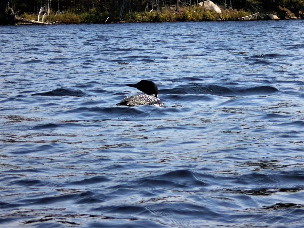
The original lake doubled to its current size in 1867 with the construction of a log crib dam for flow, navigation, and hydraulic power control. A concrete dam replaced the crib in 1916. The lake was noted at one time for its fine trout fishing. DEC stocks brook trout every spring to augment that popular fishery. Anglers also fish Cranberry Lake for smallmouth bass, northern pike and panfish.
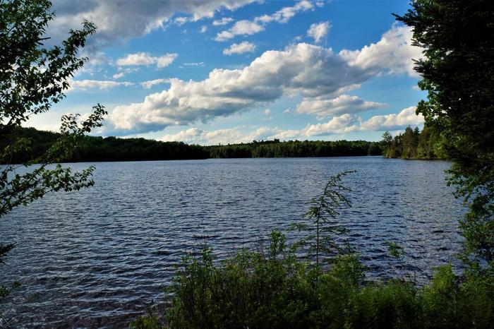
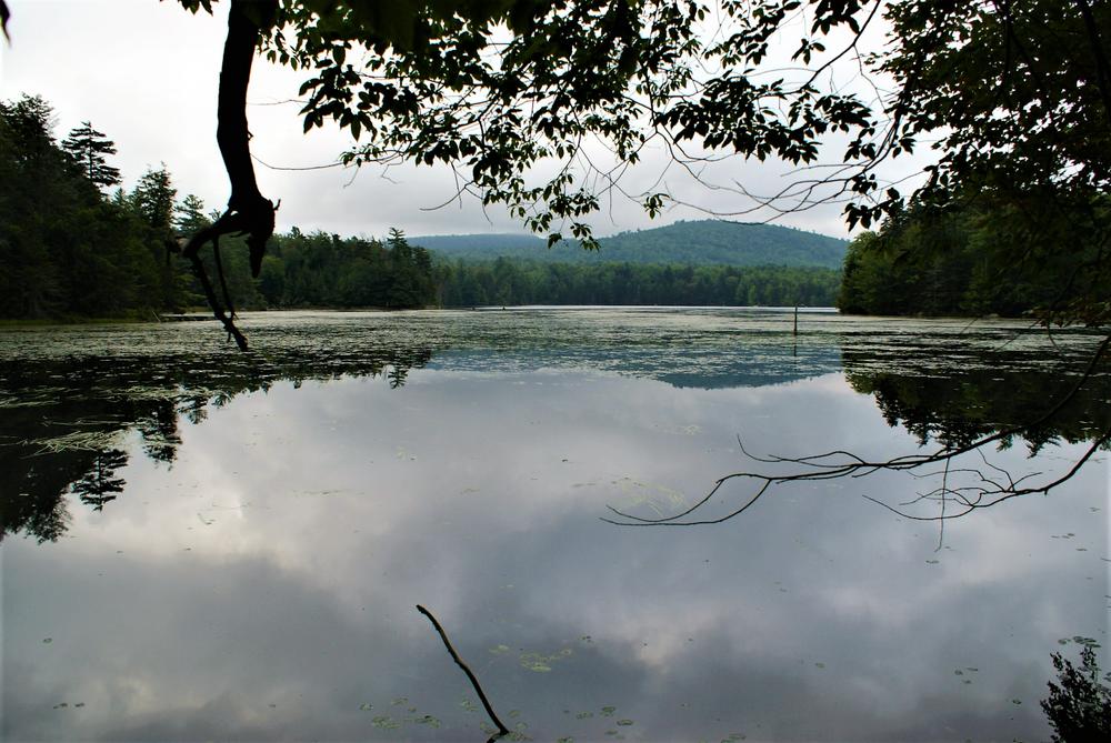
The Cranberry Lake region is one of the largest remote areas remaining in the state. There has been only minimal encroachment of civilization on the lake itself. Just to the south of the lake lie thousands of acres of rolling hills, numerous lakes, ponds, and unbroken forest lands that show little or no marks of civilization. On July 15, 1995, the area changed suddenly and dramatically. A violent windstorm blew down thousands of acres of trees south and west of Cranberry Lake. Ecological impacts will mean more young forest growth, which will work to the benefit of wildlife such as deer and snowshoe hare. This kind of event is not unusual in the Adirondacks, though it may happen only once in a human lifetime.
The NYS Department of Environmental Conservation maintains the boat launch in Cranberry Village, the Cranberry Lake Campground & Day Use Area, and the boat-in campsites around Cranberry Lake as part of the Cranberry Lake Wild Forest and the Five Ponds Wilderness.
![]()
Three public boat launches allow easy access to Cranberry Lake:
Success! A new password has been emailed to you.


