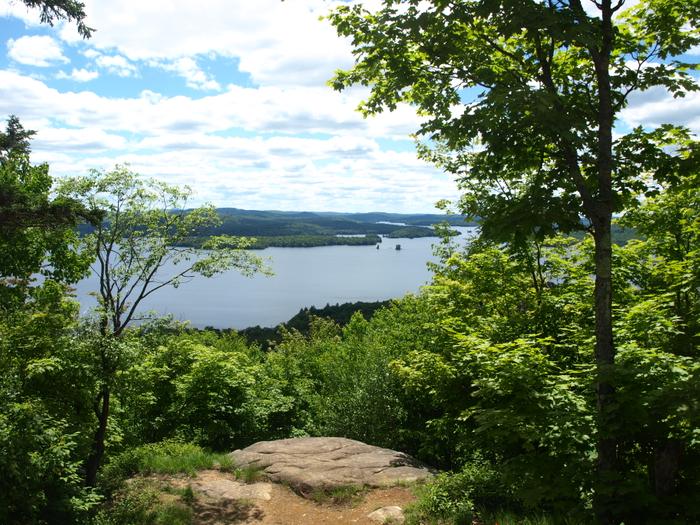
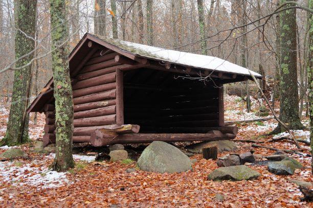
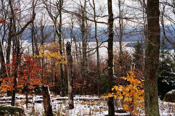
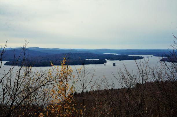
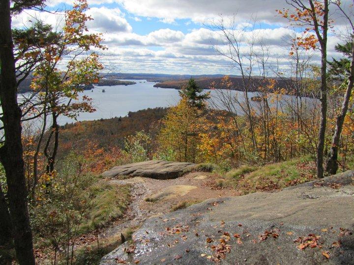
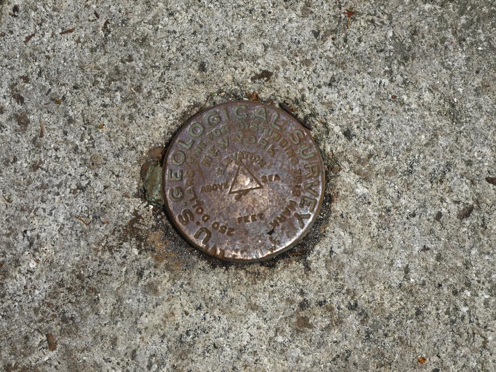
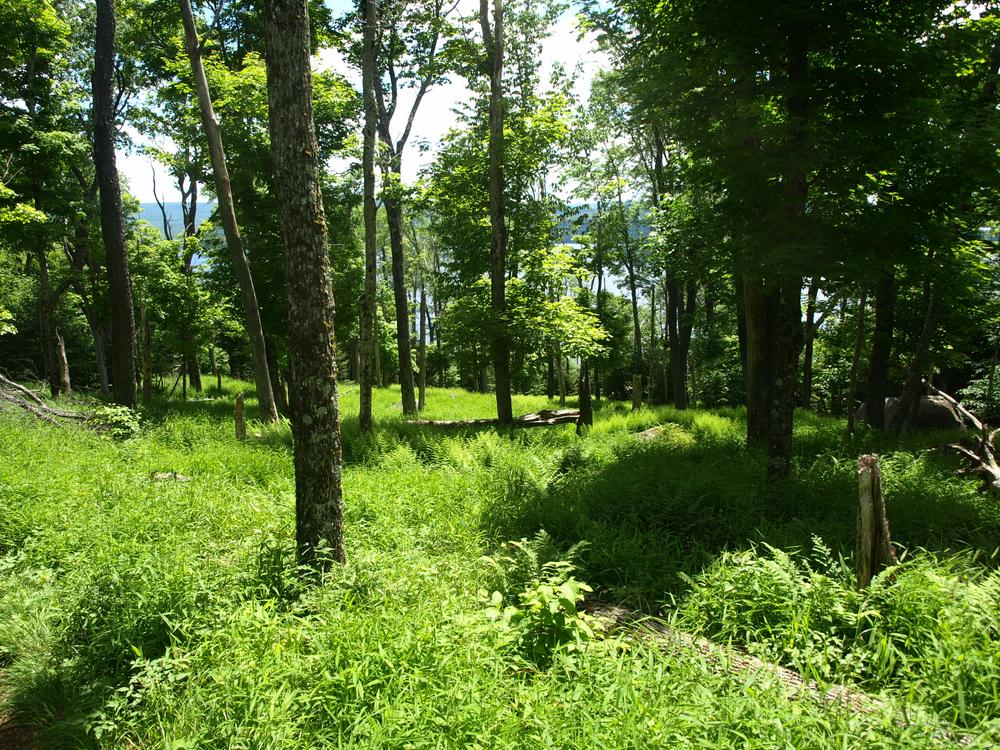
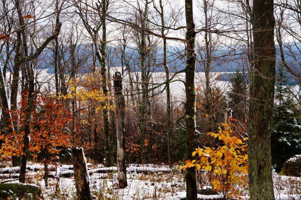
Bear Mountain Loop Trail: A red marker signifies the start of the Bear Mountain Loop Trail. At 0.1-miles the trail reaches an intersection with the yellow marked Campground Trail, continue straight/right. The Bear Mountain Trail crosses a couple of small bridges while climbing in elevation, before reaching the Bear Mountain Lean To at 0.7 miles. After the Bear Mountain Lean-To the trail becomes steeper, gaining more elevation. After one mile the trail passes a rock known as "Resting Rock." Continuing up, there is a summit marker to the left of the trail at 1.2 miles. There are no views at the summit, they are located further down the trail. The trail descends onto the ridge and at 1.7 miles there is a rocky outcrop offering the signature view of Cranberry Lake. The trail continues its descent and at 2.6 miles ends on the road access for Campground Loop Four across from Campsite 131. Turn right onto Camp Road, which has a water faucet and restrooms located on it. Follow the loop road until you reach the main campground road and then follow the main road for approximately one mile back to the parking area.
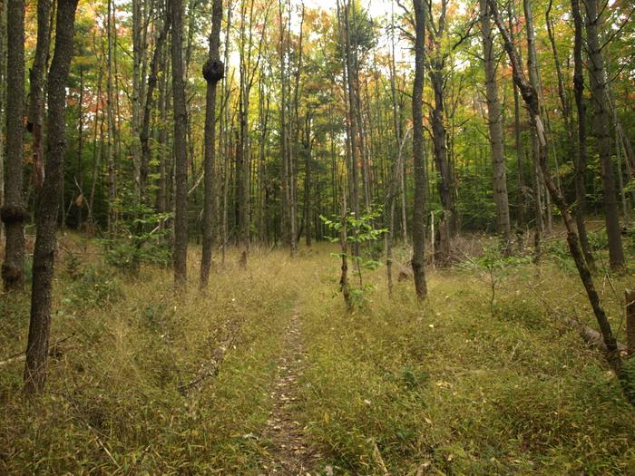
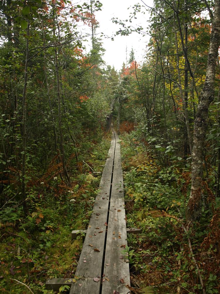
Burntbridge Pond Trail: A less common route to Bear Mountain, this trail is accessed from outside Cranberry Lake State Park. From the DEC parking lot, travel south and east on the Burntbridge Pond Trail along a section of the Cranberry Lake 50. After one mile, turn right and south onto the Campground Trail, which is also known as the Boardwalk Trail. This trail travels south for 0.8 miles before intersecting the Bear Mountain Trail just east of the Loop Trail parking area. From here is it just over 1.5 miles to the scenic views on the ridge of Bear Mountain.
Bear Mountain Loop Trailhead: Follow Lone Pine Road to the end of the Cranberry Lake State Park Campground. Park in the paved parking area across from Cranberry Lake State Campground Campsite 28 with a DEC sign, picnic table, and trail register. There is day use fee to access the State Park.
Burntbridge Pond/Campground Trail Trailhead: Follow NY-3 northeast out of Cranberry Lake. 0.2 miles past the Lone Pine Road, turn right into the DEC Gilbert Tract parking area, a small gravel lot on the side of the road. This is a shared trailhead with the Cranberry Lake 50 route.
Success! A new password has been emailed to you.


