Description
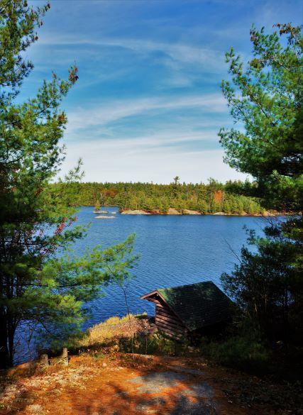
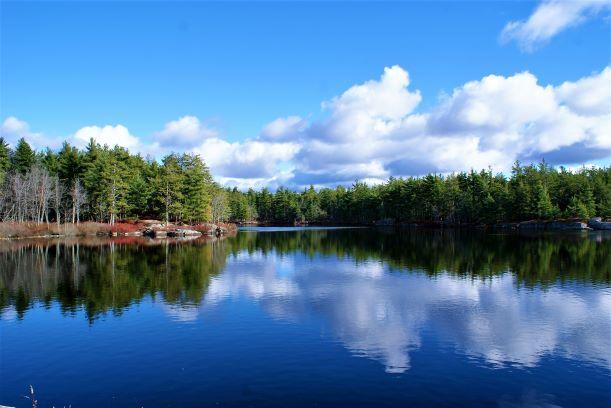
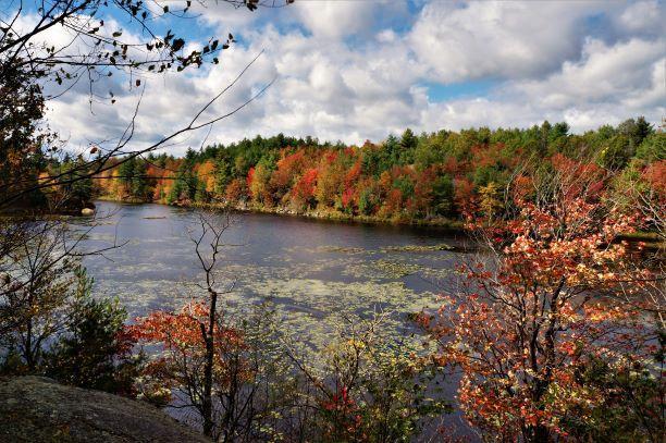
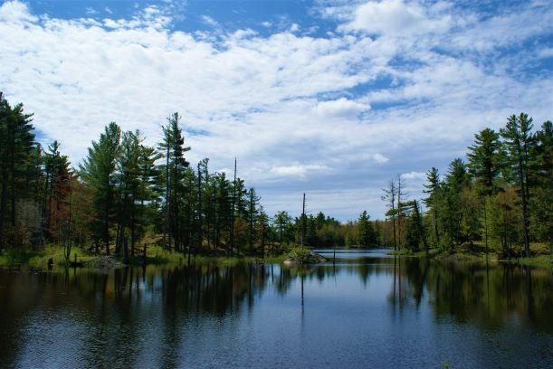
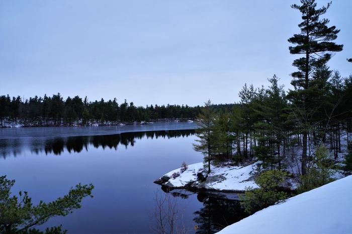
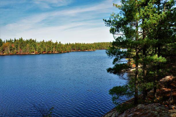
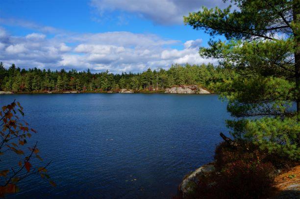
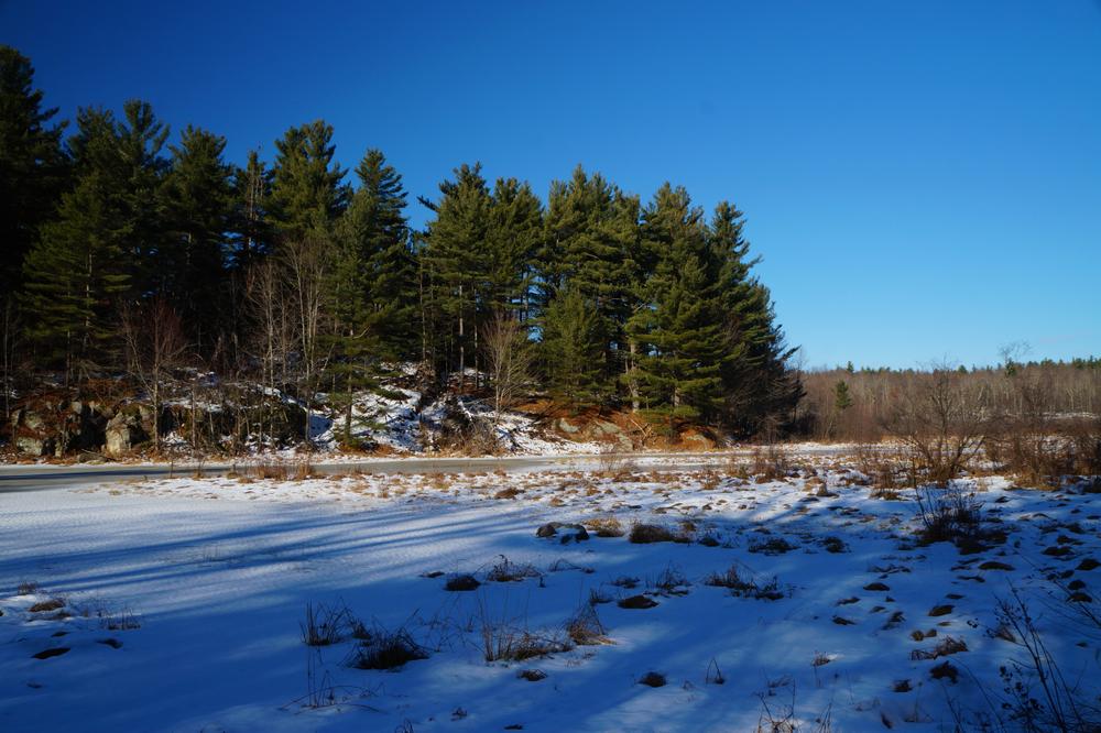
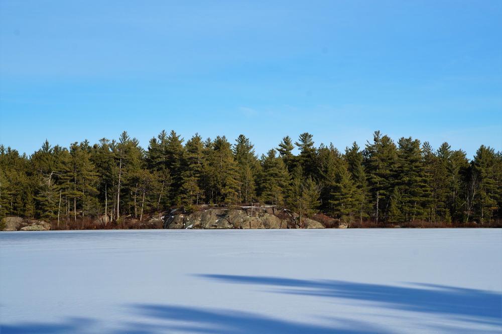
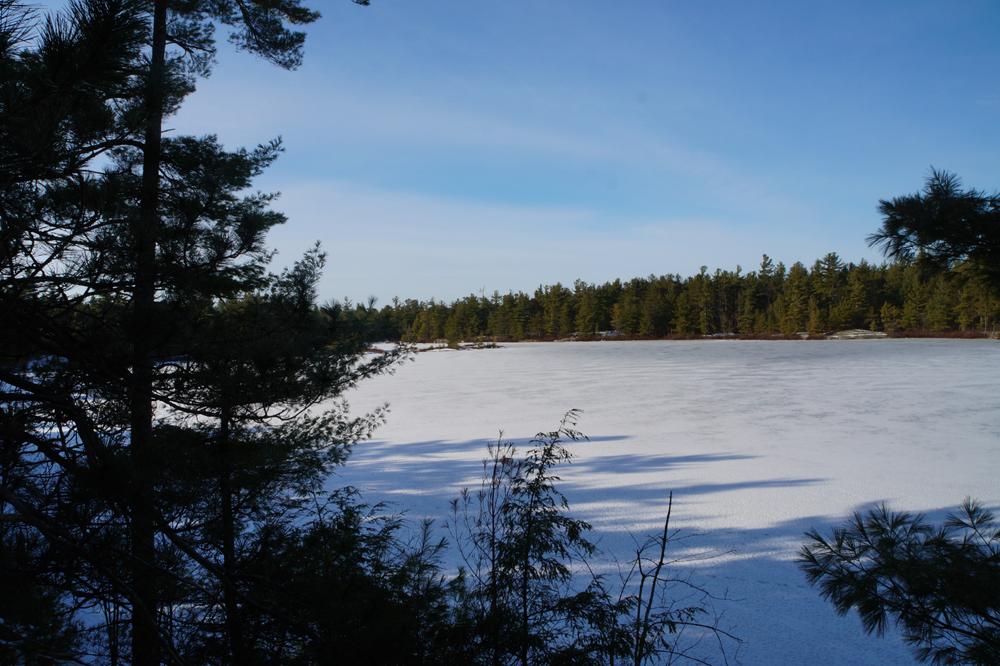
These trails stretch from Sam Day Road in the north to Talcville and the Ames Road in the south. At the center of the state forest, Moon, Wolf, and Huckleberry Lakes offer beautiful scenery, wildlife viewing and fishing in an undeveloped wilderness.
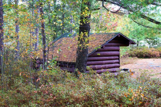
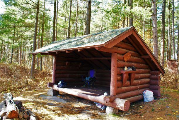
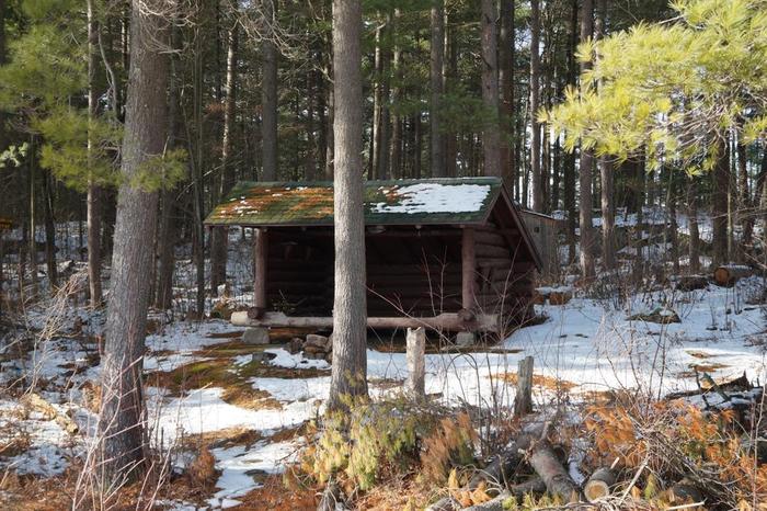
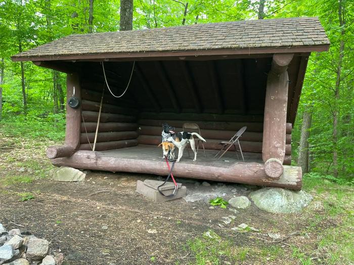
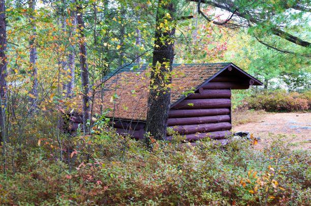
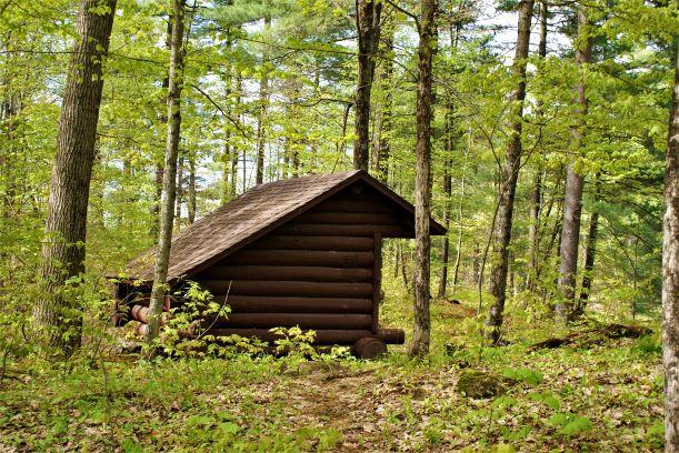
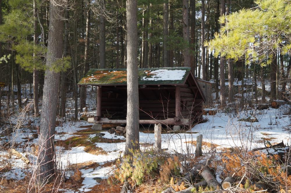
Talcville to Moon Lake Trail (1.7 miles) - This blue-marked trail leads north from the Ames Road East Trailhead to Moon Lake, the smallest of the three named lakes in the area. The trail passes several areas of beaver activity before emerging from the forest on the eastern shore of Moon Lake and ending at a junction with the Moon Lake to Wolf Lake Trail. From this junction, the lean-to shelter at Wolf Lake is 0.3 miles east and the lean-to shelter at Moon Lake is 0.3 miles west on the Moon Lake to Wolf Lake Trail.
Moon Lake to Wolf Lake Trail (0.6 mile) This blue-marked trail travels between the lean-to on the northwest shore of Wolf Lake and the lean-to on the southern shore of Moon Lake.
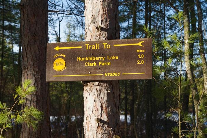
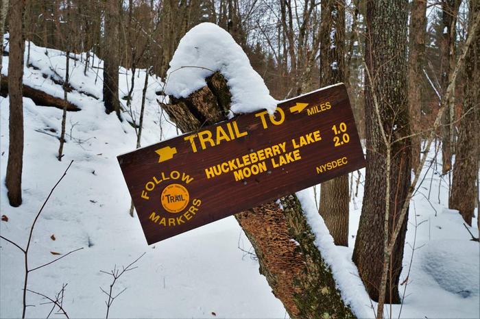
Talcville to Huckleberry Lake Trail (1.4 miles) - This yellow-marked trail travels north from the Ames Road West Trailhead to the lean-to shelter on the southeast shore of Huckleberry Lake. The last 0.25 miles of trail pass through a stand of native white pine ranging up to 30 inches in diameter. When you reach Huckleberry Lake on this trail, you will be standing on the west boundary of the State Forest. This line runs approximately due north across the lake from this point. Huckleberry Lake is heavily used throughout the season and is a popular fishing location.
Huckleberry Lake to Moon Lake Trail (1 mile) This trail continues northeast from the Huckleberry Lake Lean-to, following yellow markers to the Moon Lake Lean-to.
Sam Day Road to Wolf Lake Trail (3 miles) - This yellow-marked trail begins at the extension of Sam Day Road and leads south to the Wolf Lake lean-to.
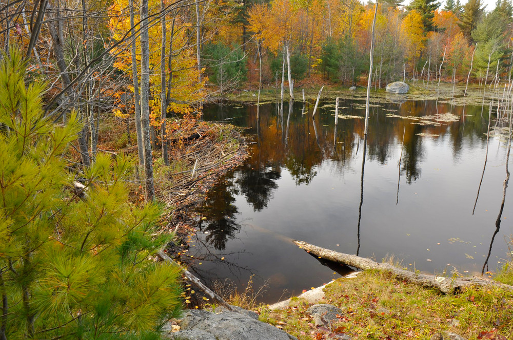
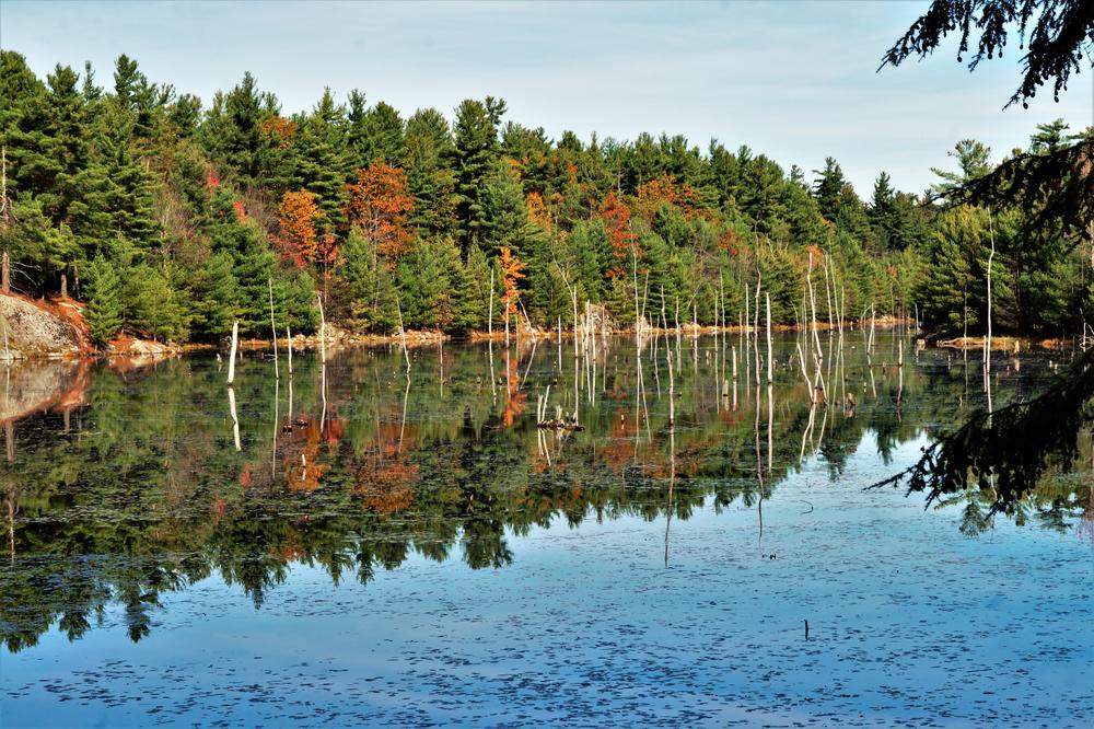
Sam Day Road to Moon Lake Trail (Beaver Ponds Trail) (3.1) - This red-marked trail travels south from the trailhead just off Sam Day Road to its junction with the Moon Lake to Wolf Lake Trail on the east shore of Moon Lake. The trail follows the beaver-dammed outlet of Huckleberry Lake for most of its journey, offering excellent views across the beaver marshes and many good spots from which to observe wildlife. The Beaver Flow Lean-to is located one mile south of the trailhead.
Other Information
These trails are part of the Wolf Lake State Forest and are managed by the New York State Department of Environmental Conservation. Wolf Lake State Forest is a reforestation area of 4,316 acres. It was purchased by the state in the 1950's and 60's to return idle and abandoned farmlands to productive use as a source of timber and to provide land for public recreation.
All trails in Wolf Lake State Forest are open to hiking, Nordic skiing, and mountain biking. No trails are groomed for skiing or maintained specifically for biking.
Trail Manager
For more information, please visit the New York State Department of Environmental Conservation online, or contact:

New York State Department of Environmental Conservation Potsdam Sub-Office
190 Outer Main Street - Suite 103
Potsdam, NY 13676
Phone: 315-265-3090
information.r6@dec.ny.gov
View website


