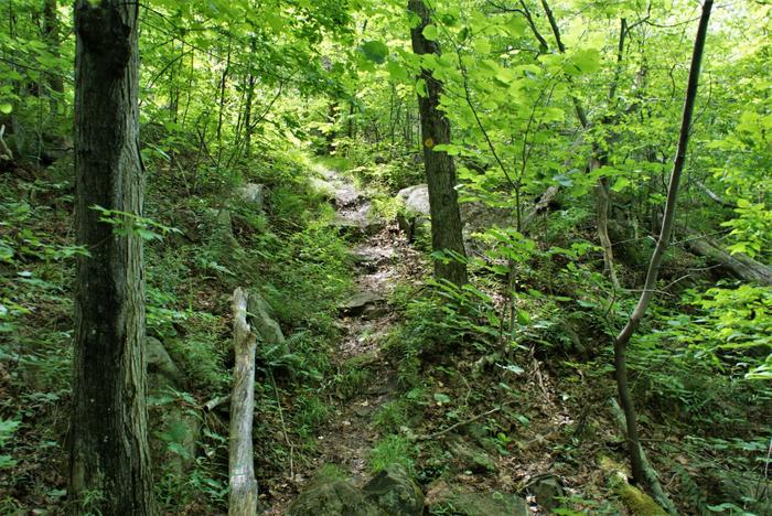
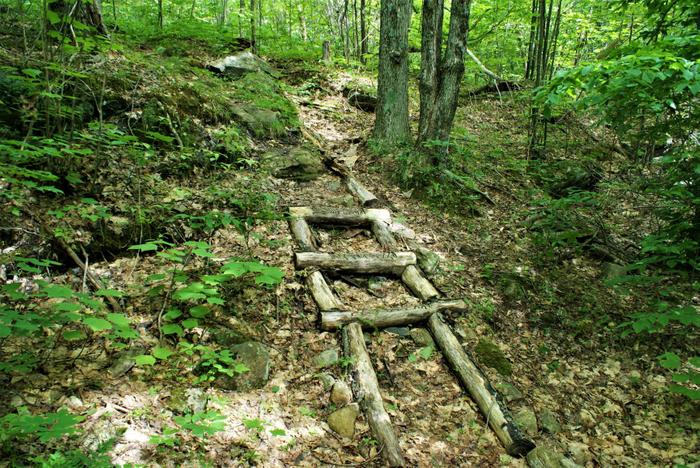
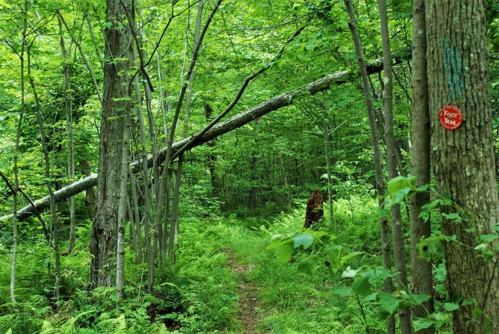
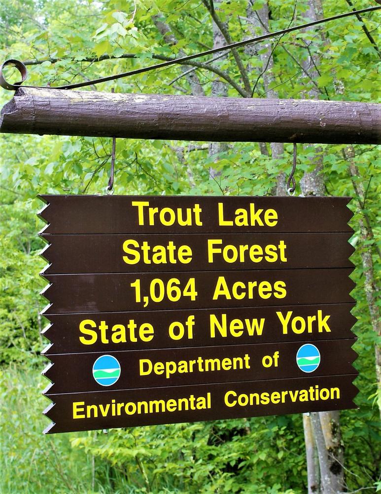
Trout Lake state forest is home to not only Trout Lake, but also Cedar Lake, the smaller of the two. The hiking is over some rough and rocky places but is well marked and not difficult to follow. The best views are found on the Cedar Lake overlook. Each trail section has its own charms and challenges. These trails would be suitable for hikers of all ages, but care should be taken around the open ledges. The trails to Trout Lake can be wet after heavy rains or spring thaws.
Cedar Lake Trail
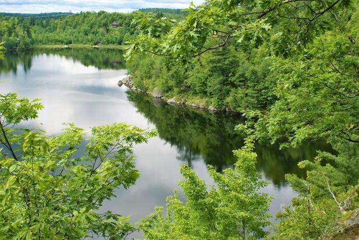
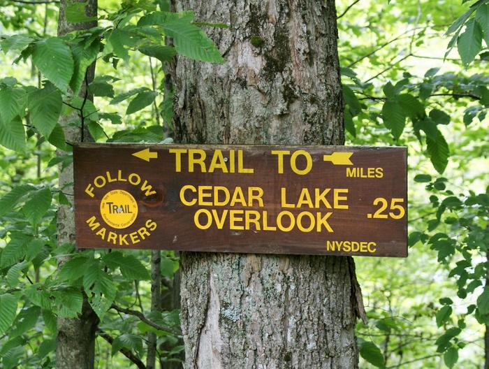
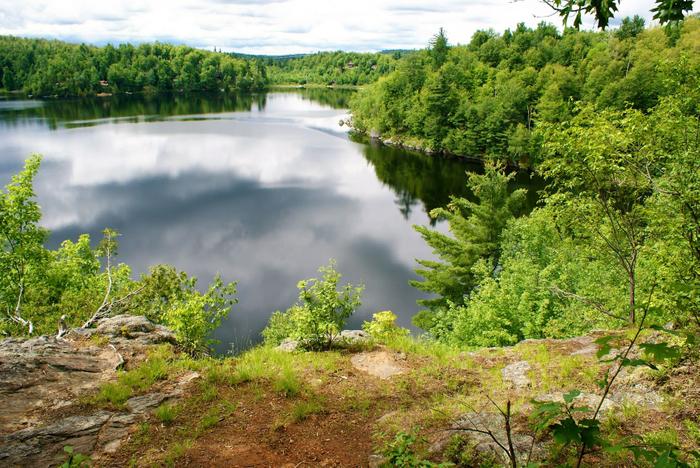
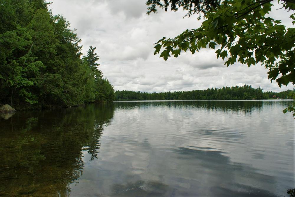
Choosing this as the starting point for the hike, park at the Cedar lake turn around. There are several routes and combinations for you to choose from. At the parking area, you’ll follow the yellow marked trail downhill, and within a couple of dozen yards, the trail splits. Right takes you downhill to the Cedar lake hand launch, about 2/10th of a mile. The left trail leads through some rock-strewn crags to higher ground. The forest here is predominantly white pine (Pinus strobus) and red oak (Quercus rubra). At about 2/10th of a mile, you will see the first overlooks of Cedar Lake. The views here are spectacular but very exposed. The lake is well over 100 feet below you, so use caution on these overlooks. A few of the camps & cottages can be seen across the lake, on the East shore of the lake. You can follow the trail further along, and experience more overlooks with new views to around .6 miles. From that point retrace your route. On the way back, take the trail down to the lake. This is fairly steep & rutted, but well worth it. The views are entirely different from those above, yet still impressive. At lake level, you can really appreciate the scale of the ledges. Back at the parking area, the round-trip total of this leg of the trek is about 1.4 miles.
Trout Lake Trail
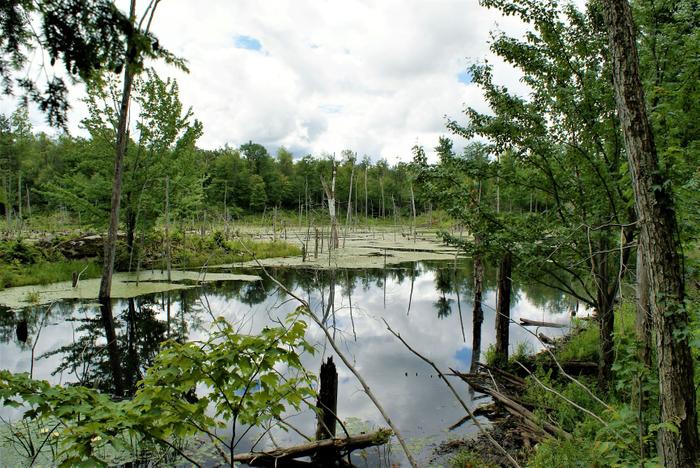
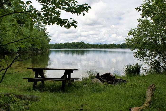
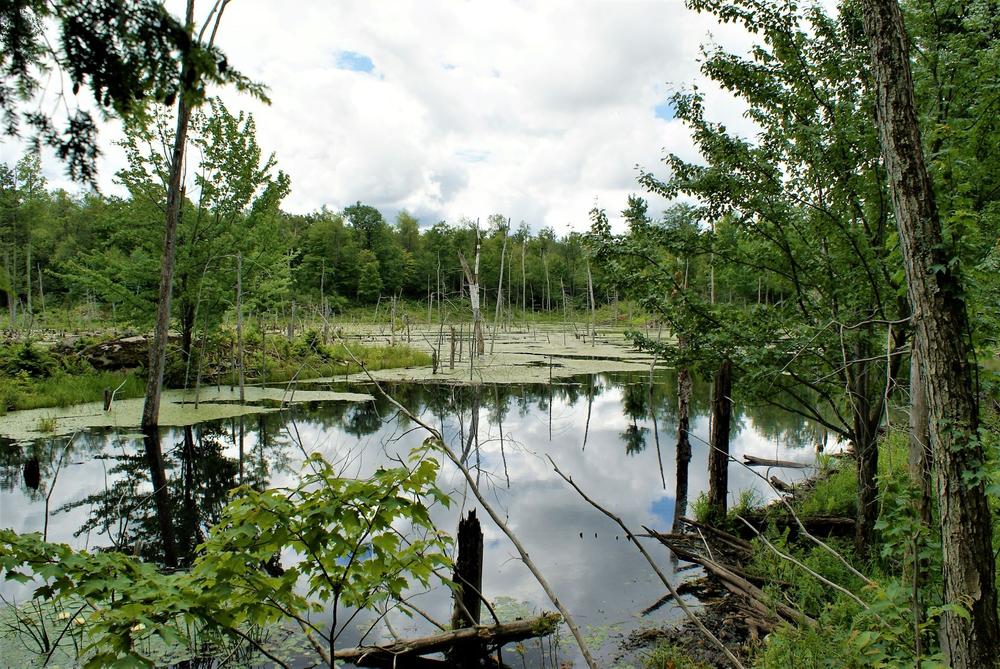
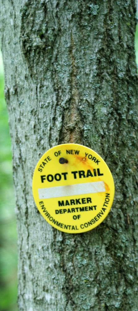
The trail to Boy Scout Bay is 1/10th of a mile from the Cedar lake turn around, back towards the main road. The trailhead is marked with a sign and red trail markers. This trail is more of open hardwoods, mostly maples (hard maple- Acer saccharum and soft maple-Acer rubrum) and a few yellow birches (Betula alleghaniensis) & black cherry (Prunus serotine). At about the ¾ mile mark, you will get the first views of Trout lake through the hemlock trees. This bay is only 150 yards or so from the trail, so it’s worth it to walk down to the water’s edge. The trail leads uphill from here, and in another ¼ mile, you will arrive at Boy Scout Bay. The bay here has a nice sandy bottom, a picnic table and an outhouse. This is a nice winter destination on snowshoes as well as a summer hike. At this point, you are one mile from the trailhead.
Campbell Road Trail
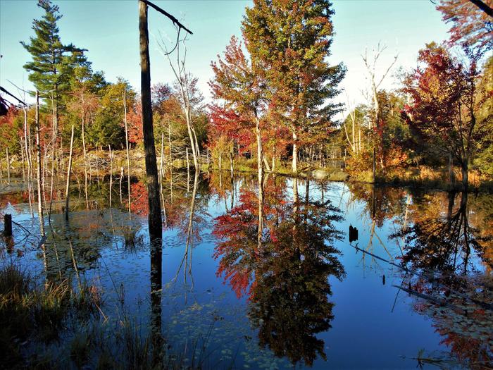
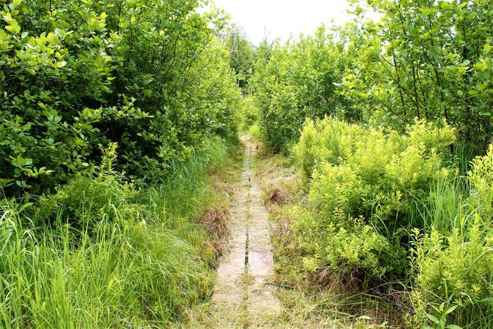
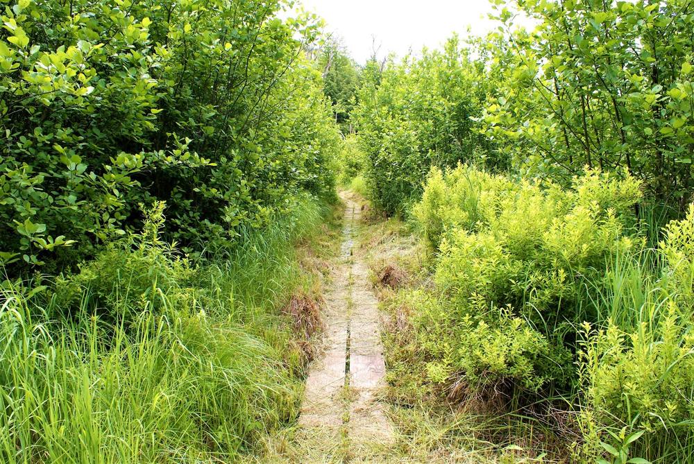
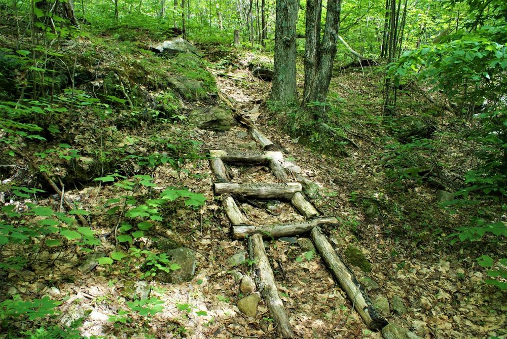
From Boy Scout Bay, the red trail continues Southeast. Just after leaving the bay, the trail crosses the swamp that paralleled the trail on the way in. The DEC has placed a board-walk across this swamp. After crossing the board-walk, you will go uphill to terrain that is rockier and more reminiscent of the Cedar Lake trail (which is only a half mile South of here as the crow flies). There is a great deal of beaver activity along this route. The trail continues Northeast from here, and eventually comes out at the Campbell road parking area & trailhead. This is a half mile from Boy Scout bay and 1.5 miles from the trailhead. Retrace your route to return to the beginning of your trek.
*Note* As with most DEC access roads, there are yellow mud gates on both of these, and may be closed in mud and winter seasons. (fall & spring). If they are closed, add .25 miles (round trip) for the Trout Lake access, or add .6 miles (round trip) for the Campbell road access.
![]()
From St. Lawrence County Rt.19, turn Northeast onto East Shore Drive. This is directly opposite of the Fire-Falls State Forest sign. Continue straight through the yellow gate for a half mile. The road does a roundabout at the end and this is where the hike will start. There is another route that comes in from the Campbell road, about 2 miles from St. Lawrence County RT24. There is a trailhead at the end of the access road. This is just past the NYS DEC field office. The access road starts at the Edwards/Hermon town line sign. The trailhead is 3/10th of a mile ahead.
Success! A new password has been emailed to you.


