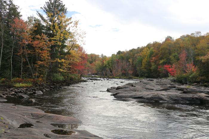
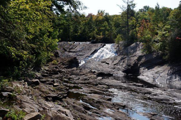
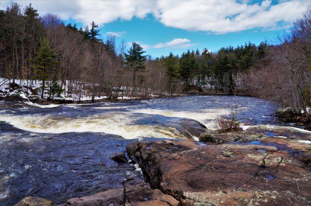
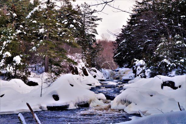
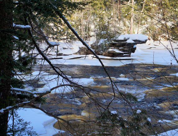
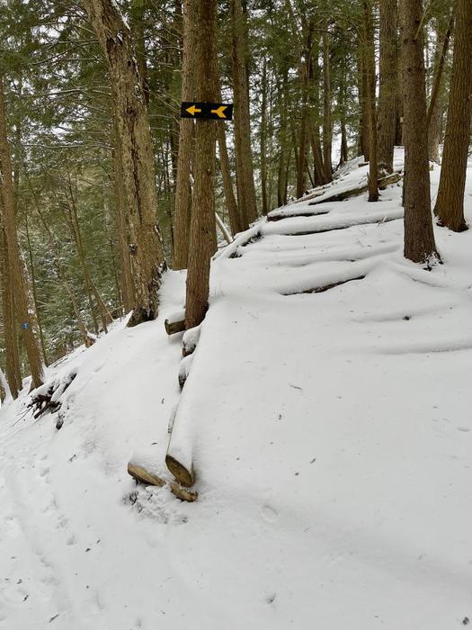
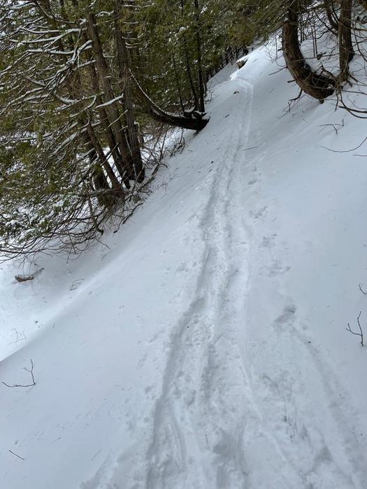
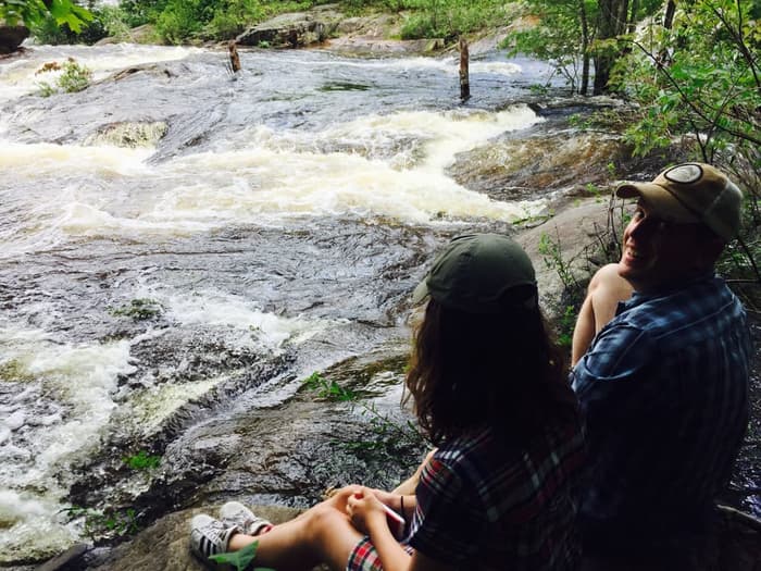
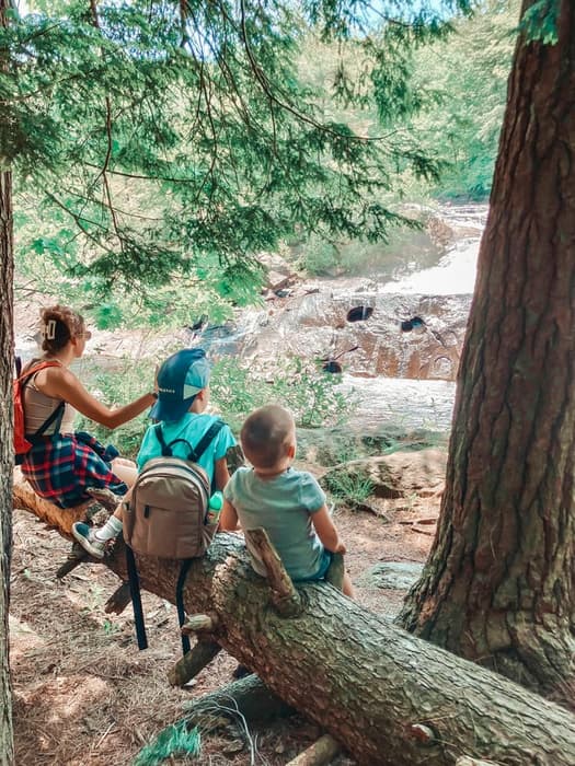
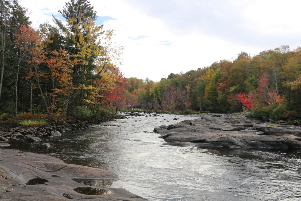
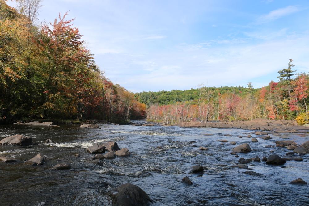
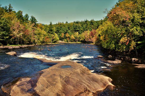
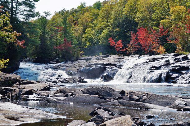
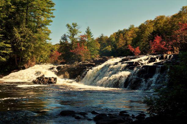
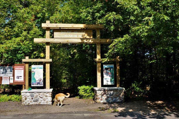
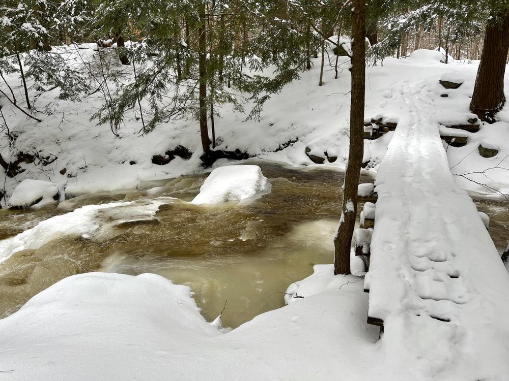
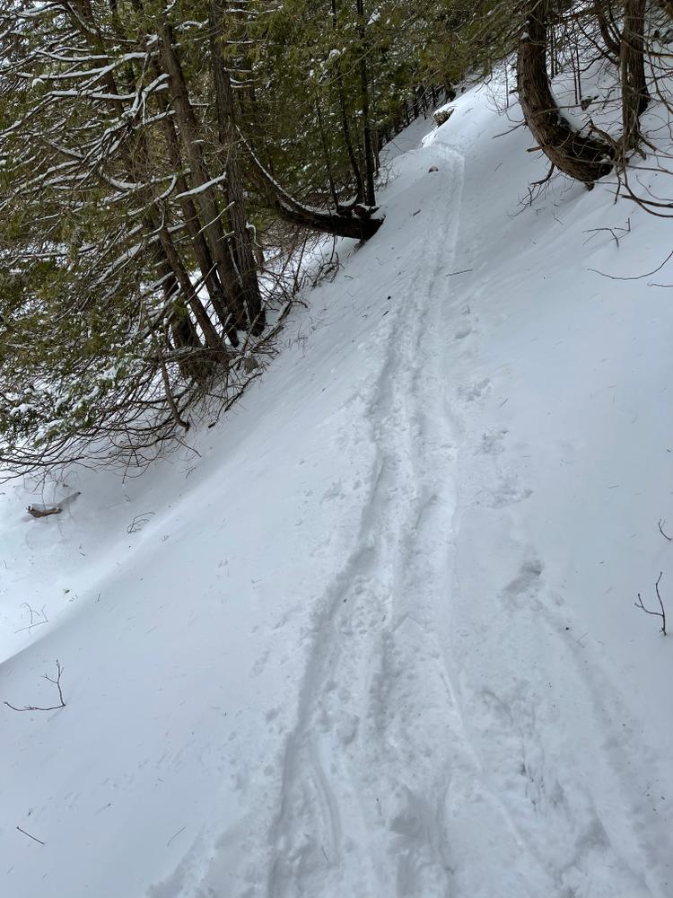
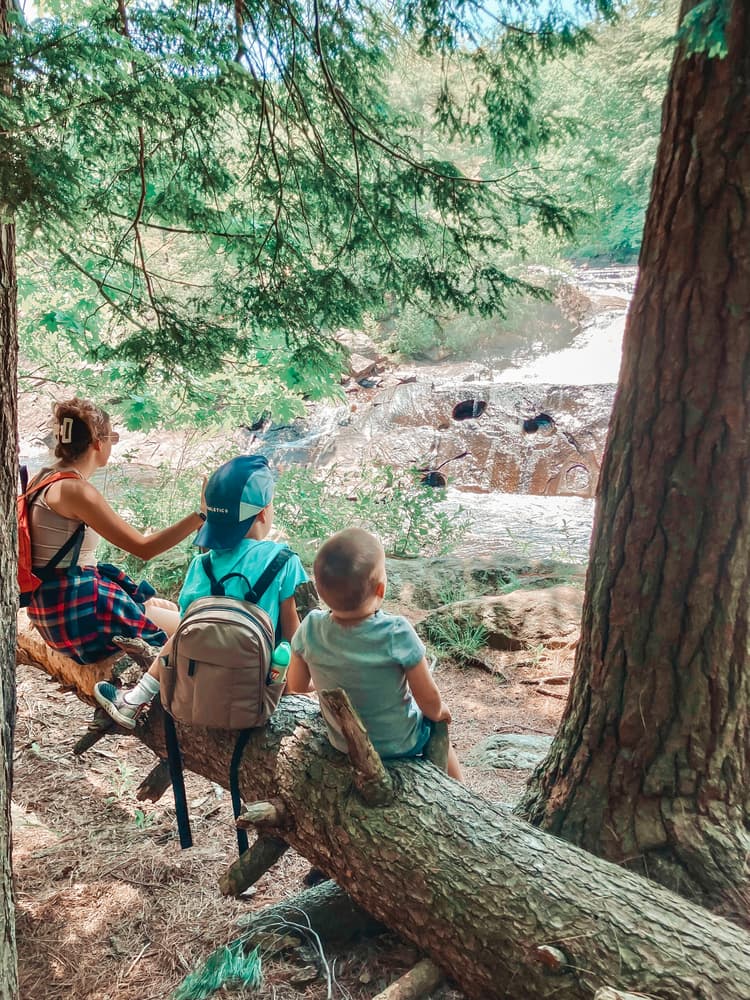
The Stone Valley Trail is a scenic trail offering great opportunities for waterfall viewing, wildlife watching, and learning about local history. The 8-mile loop parallels the Raquette River, including the dramatic 1.5 mile stretch below the dam in Colton. Along the way, look out for several informational kiosks describing the natural surroundings and the history of the Raquette River.
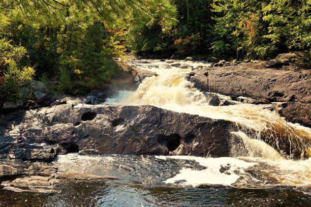
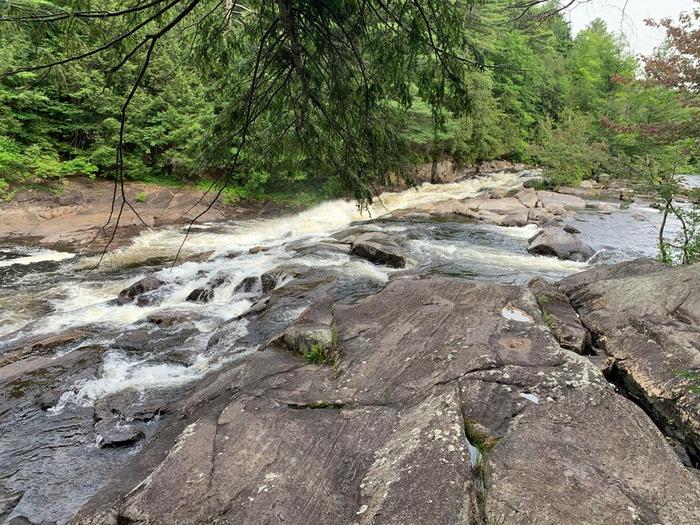
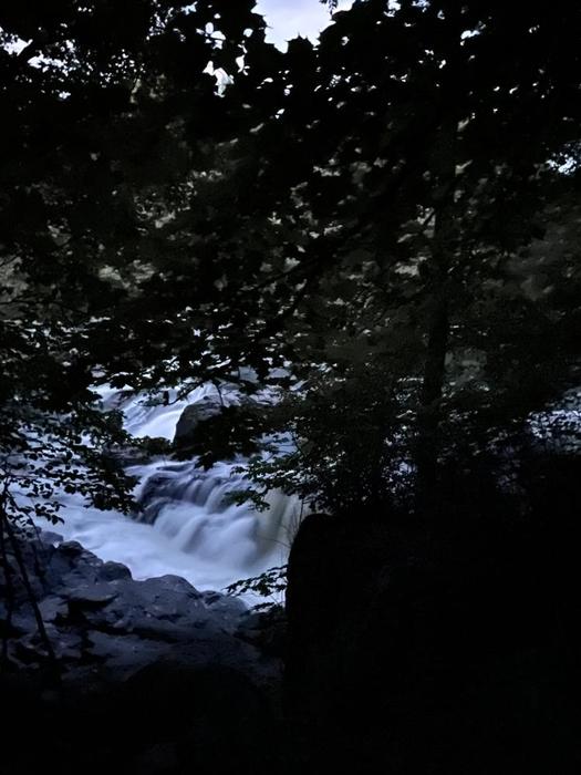
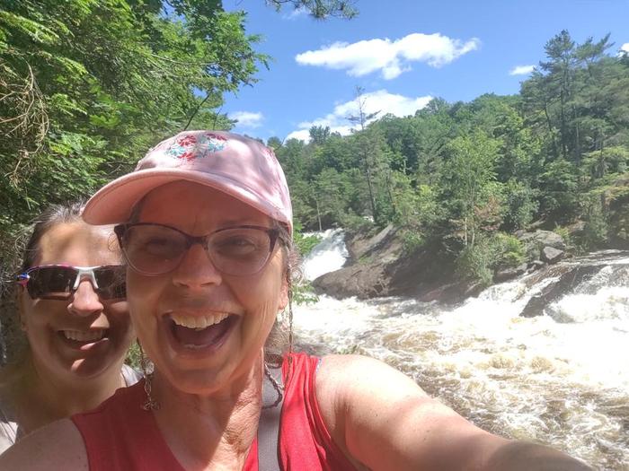
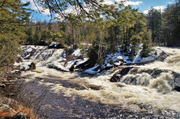
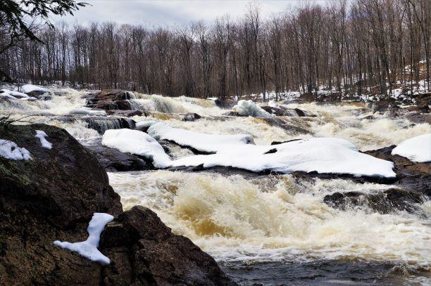
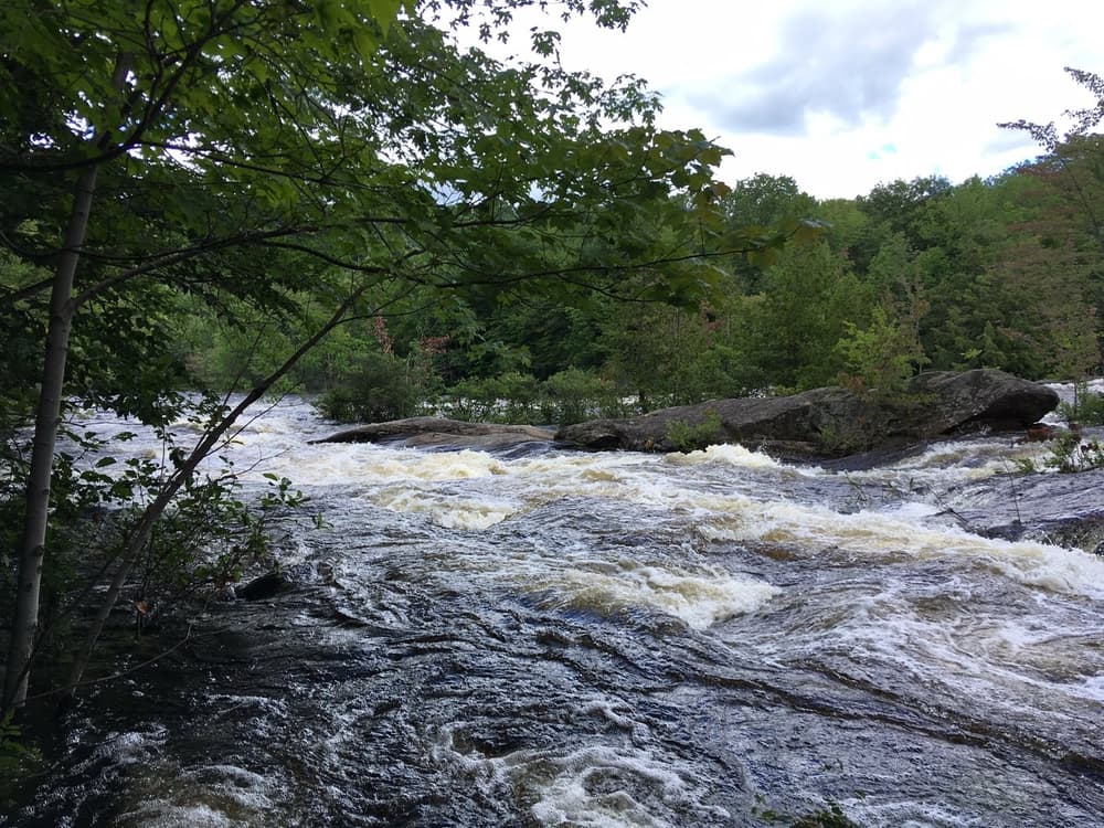
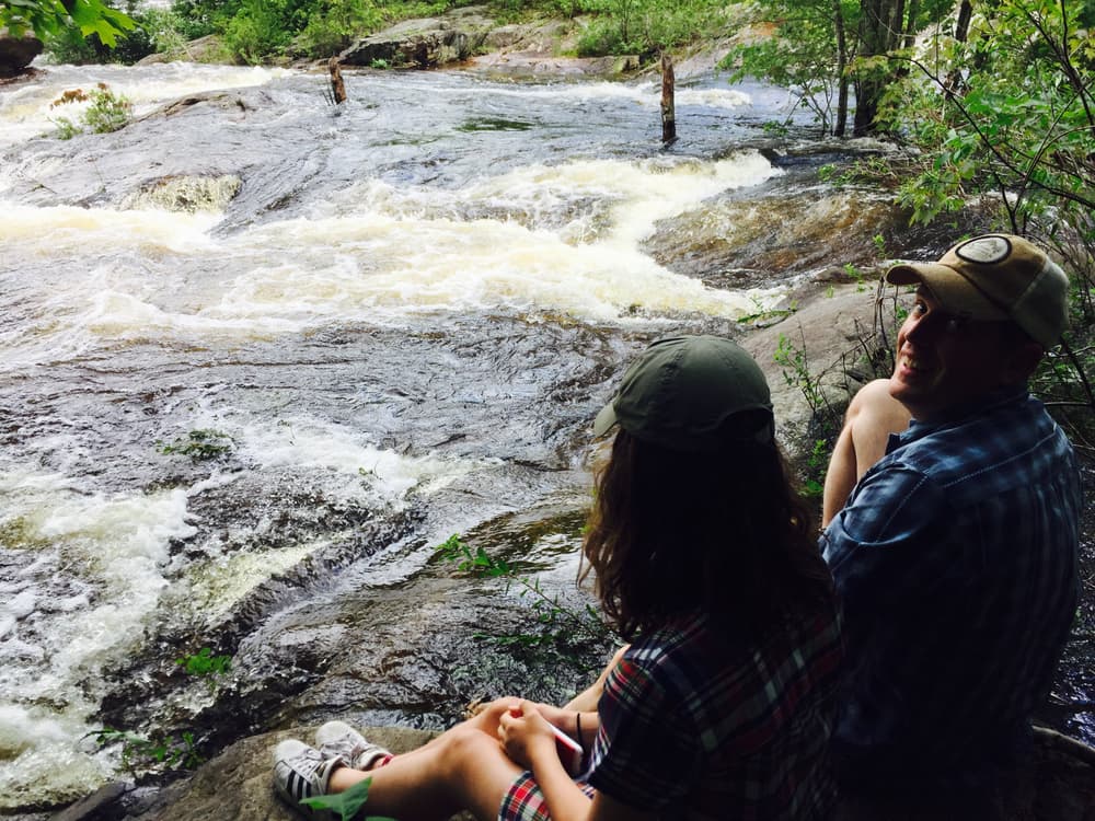
Multiple iconic North Country waterfalls, including “The Tubbs,” are located along the trail. Most of the larger falls are located along the first 1.5 miles of trail from the southern (Colton) side of the loop. Many hikers opt for this shorter, but very scenic, out-and-back option.
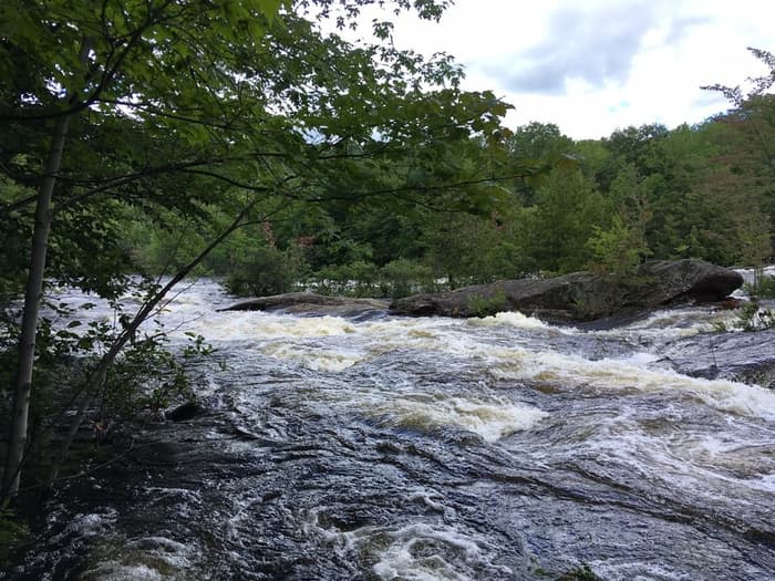
During the summer months, whitewater kayakers can be seen braving the raging rapids through what is known as one of the most technical stretches of river in the Northeast.
Be cautious, even during low-water periods, unexpected releases from the dam can cause rapidly rising water and potentially dangerous situations. Stay safe by staying on the trail.
The Stone Valley Trail is a cooperative recreational effort funded by Brookfield Renewable Power and coordinated by the Laurentian Chapter of the Adirondack Mountain Club.
![]()
Northern Trailheads:
The northwest trailhead parking is located before the bridge on Browns Bridge Road, off of NY-56 in Colton. For the northeast entrance, continue on Browns Bridge Road and take a left onto Lenny Road; the parking area is located 0.5 miles on the right. For additional parking on busy days, there is a parking area one mile further on the right.
Southern Trailheads:
The southwest entrance can be found by taking the first left off of Main Street onto River Street in Colton. Parking is located along the road at the intersection. The southeast trail entrance and most popular parking area are located at the end of Riverside Drive, just past the firehouse.
Success! A new password has been emailed to you.


