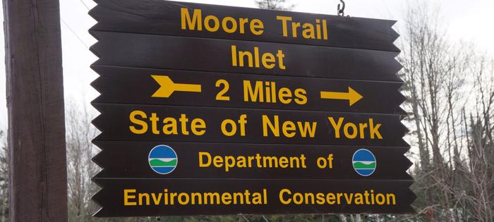
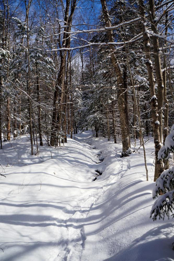
From the trailhead, marked in the parking area, the trail will drop steeply to run along the Oswegatchie River. Following the river, the trail is very rocky in areas and caution in footing should be used. In 2 miles the trail leads to the Inlet, which is major boat launch for the Oswegatchie River, and Inlet Road. The Moore Trail is occasionally used as a canoe carry. Inlet Road can be used as a drop point for a second vehicle for a traverse of the trail, rather than hiking back along the trail.
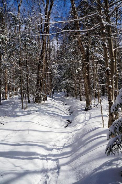
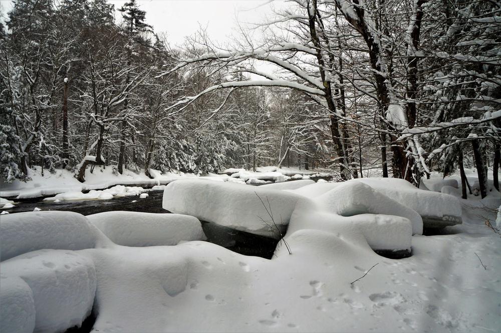
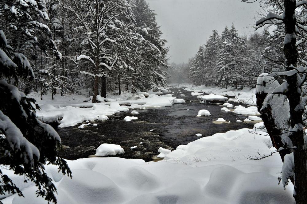
Inlet Road is seasonal and is closed, except for snowmobile use, in the winter. Use caution if using the trail in the winter, it can get icy near the edges.
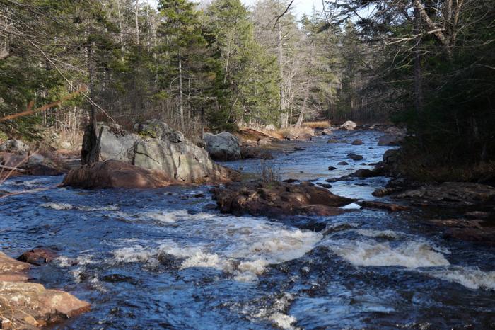
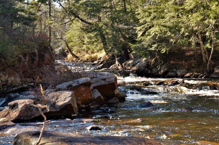
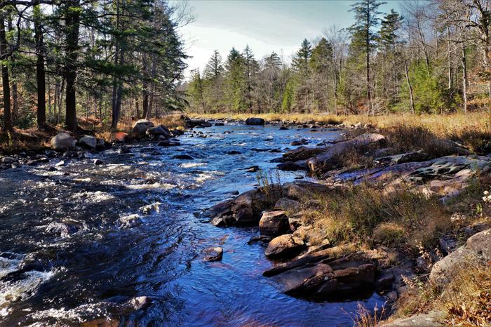
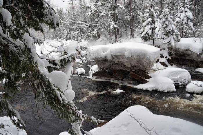
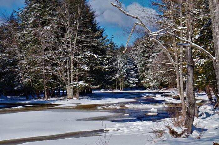
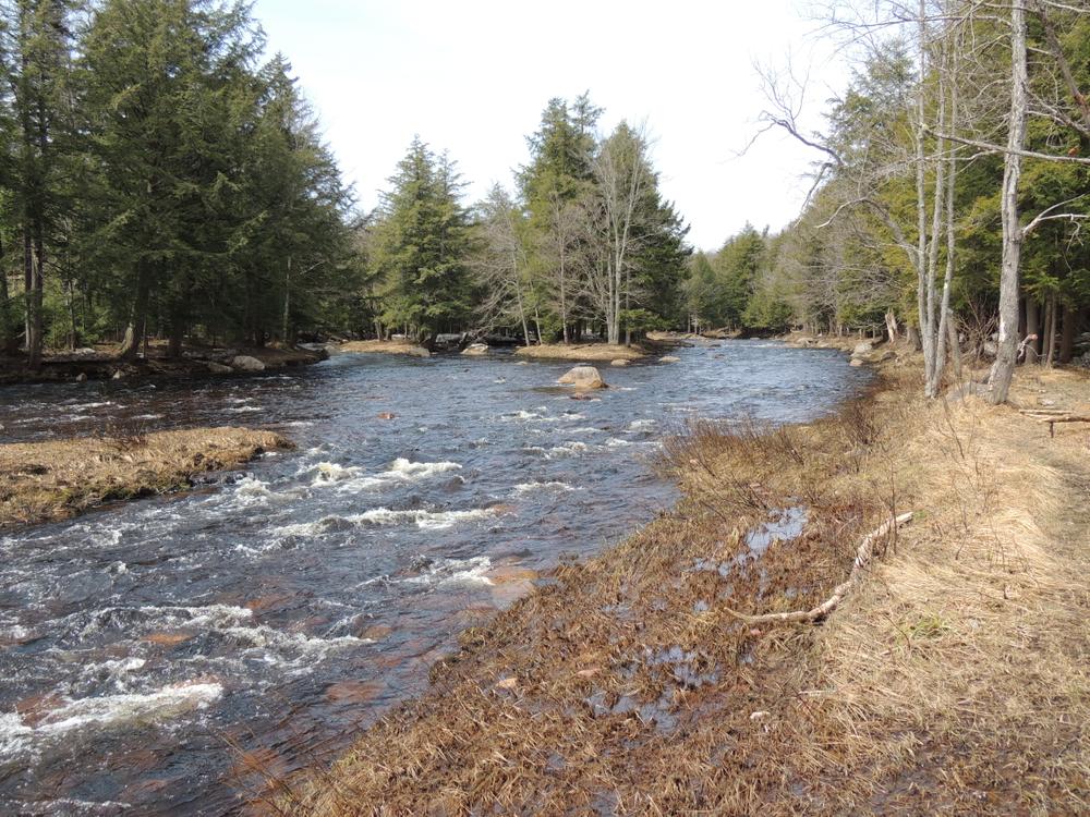
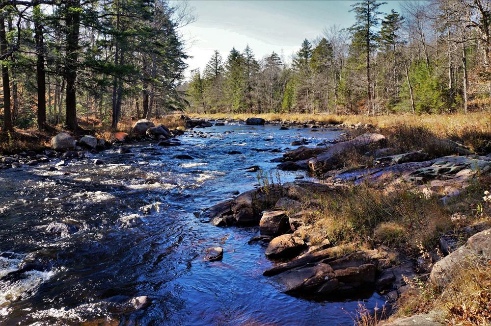
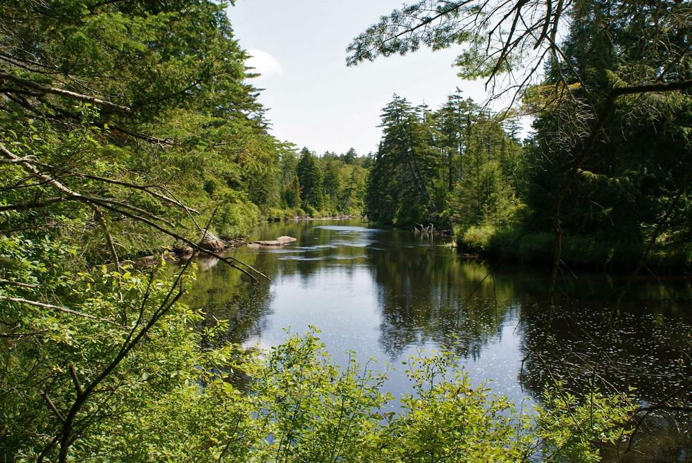
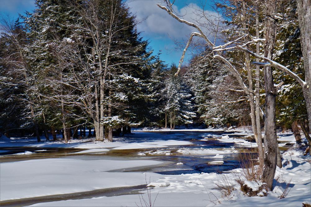
From the parking area, the trail goes over the bank to the river’s edge and continues in a Southwesterly direction. The Oswegatchie is quite shallow here, and very rocky. Several small islands split the river through this stretch. The forest is young here, comprised of yellow birch and beech trees, and a few hemlocks. As you work upstream the trees get larger and white pine, spruce and cedar are the predominant trees.
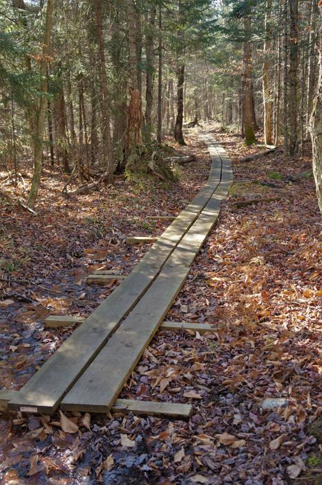
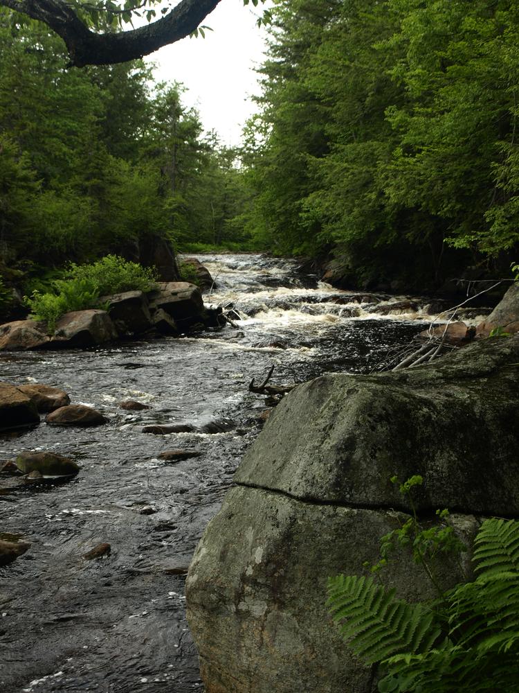
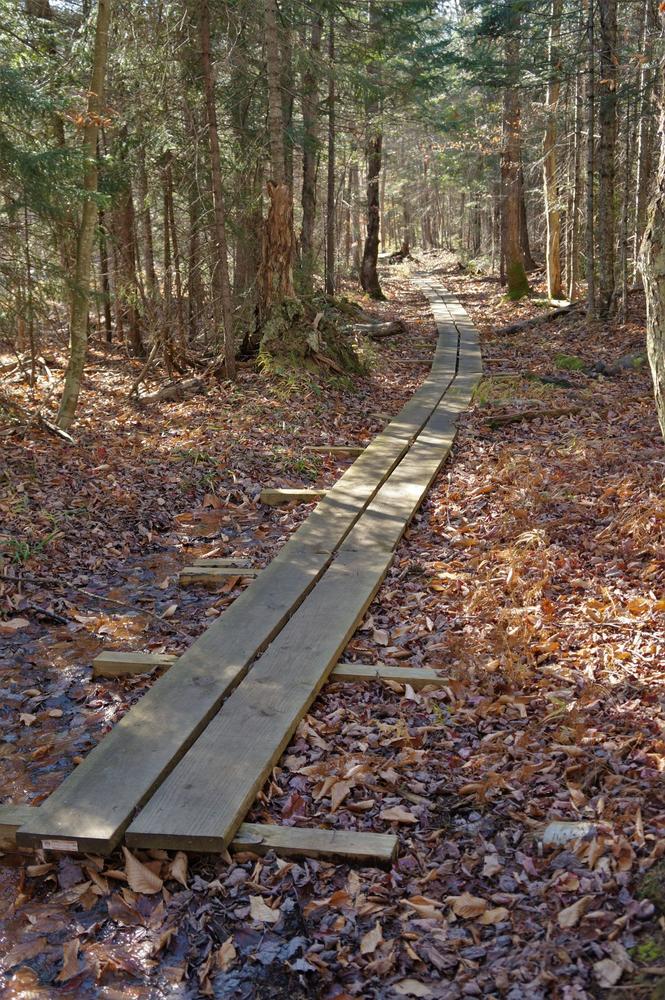
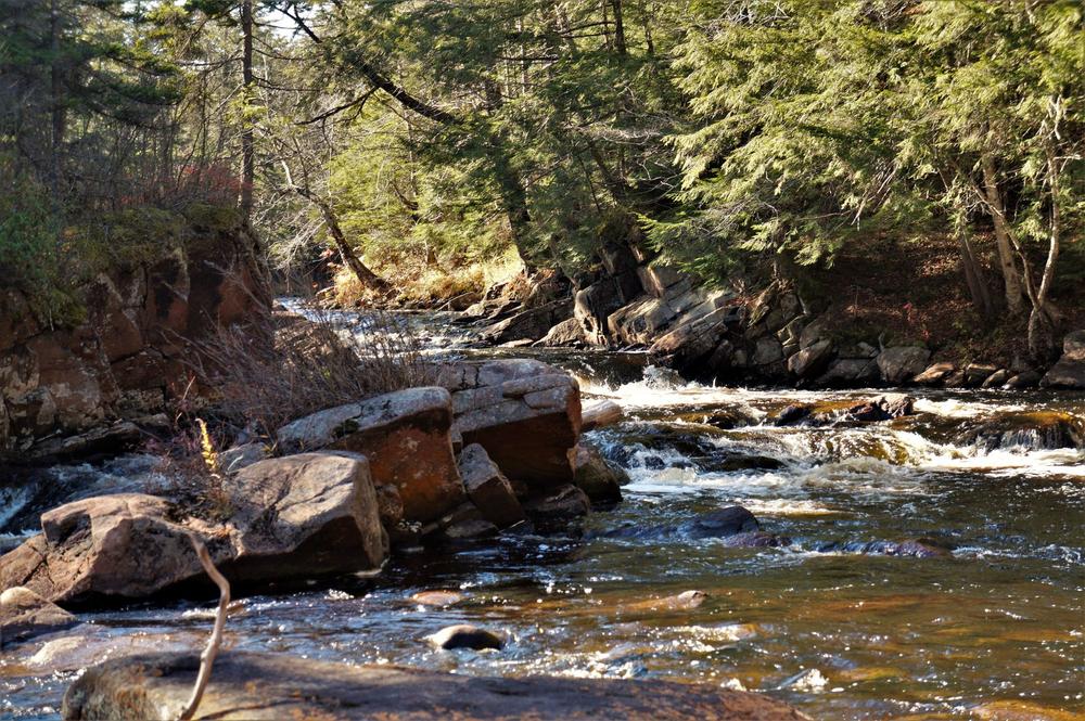
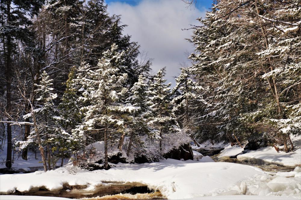
At around the 1.1-mile mark, Little Falls comes into sight. This small fall drops about 8 or 10 feet over the length of the falls and is split by a rock island. The trail continues uphill and offers some nice elevated views of the river. The few wet spots in this stretch have seen the addition of some simple, yet effective board-walks placed strategically. In another half mile, you will find another small falls/rapids as the river takes a turn. Close by, you will find some large white cedar. One is at least thirty inches thick. The trail here is often very close to the bank- so be careful of your footing to avoid an unplanned dip in the river.
The last 10th of a mile tends to be fairly wet and muddy. There is a stretch of private property just before you reach the Inlet road (2 miles from the start). There is a private camp on your right, and the footbridge to Knollwood is on your left. These are privately owned, so please be respectful. A few hundred yards down the road to your left, brings you to the inlet canoe launch, with an informative kiosk, trail register, and picnic tables. This is where the hotels once stood. There is also an outhouse to the right.

![]()
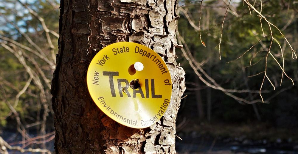
From New York State Rt. 3, turn onto St. Lawrence County Rt. 61. Follow this continuing straight onto Wanaekna's Main Street. The trailhead parking is located on the right before the bridge. Another entrance can be found off on Inlet Road, off of Rt. 3, marked with DEC signage "Five Ponds Wilderness Area." Continue along Inlet Road until reaching a parking area with a canoe launch at the end. Inlet Road is often used as a second car drop point if the trail is going to be traversed rather than an out and back.
Success! A new password has been emailed to you.


