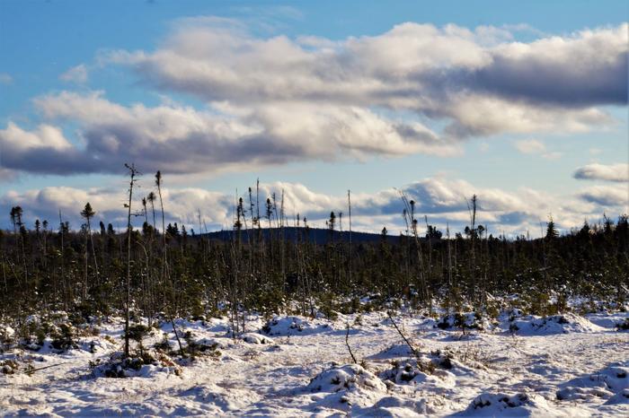
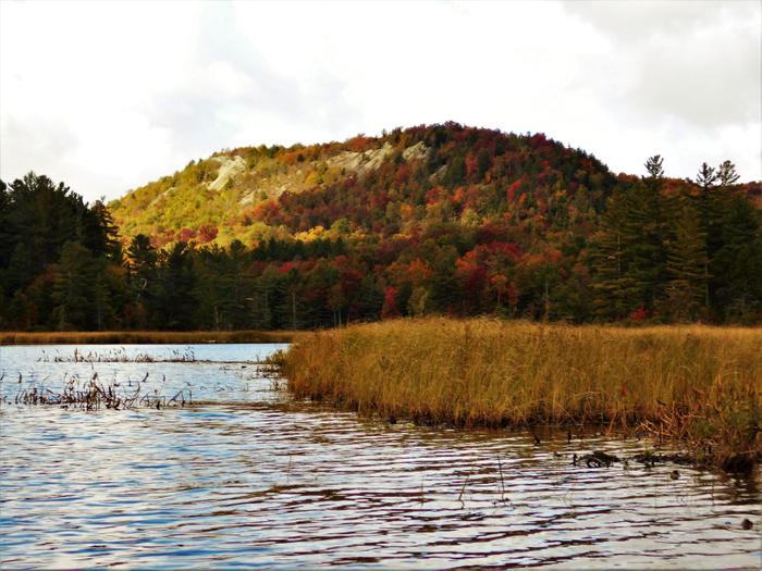
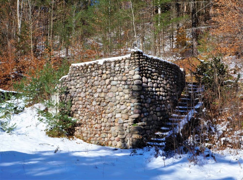
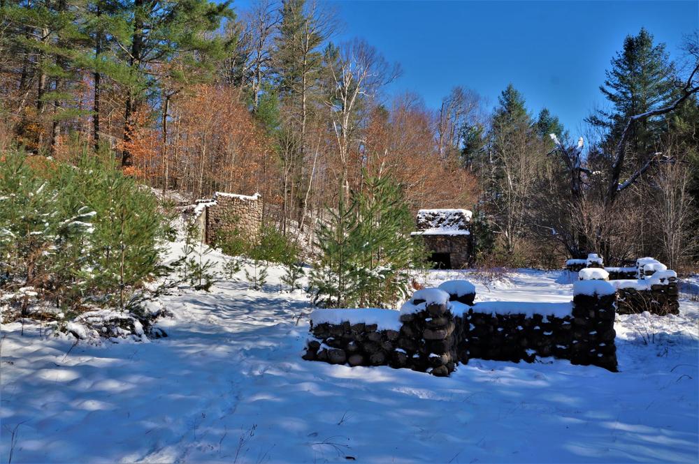
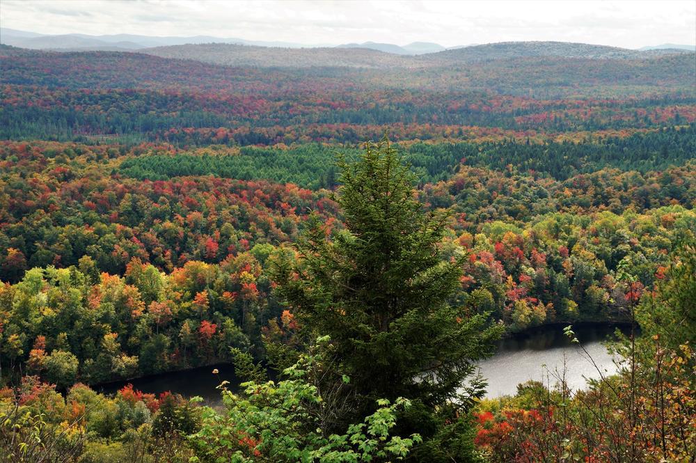
This is a fun year around destination, but is particularly spectacular during autumn with the foliage change. This is suitable for most hikers. It only gets a medium difficulty because of the mileage. The total elevation gain is around 700 ft. The early part of the trail runs through Hitchen’s Bog. This unique area is popular with bird enthusiasts, and cotton grass and purple pitcher plants can be found. This area was part of A.A. Lows and the former Horseshoe Forestry company’s holdings, and ruins of the buildings are nearby at the Low’s Upper Dam.
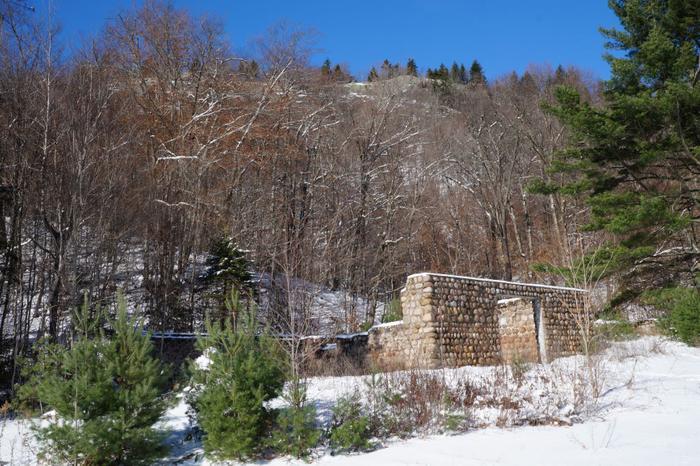
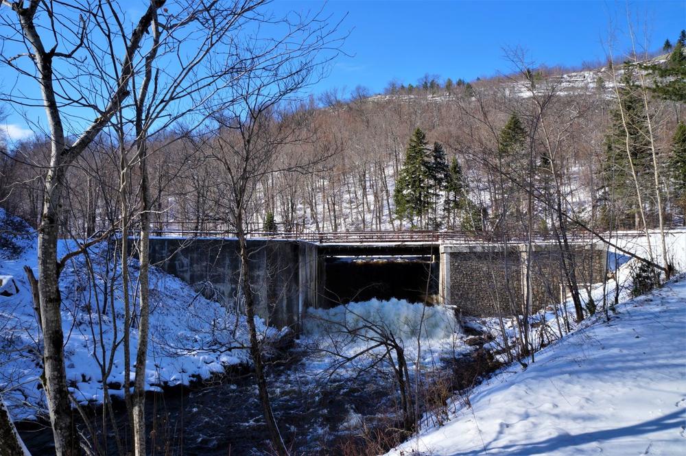
The trail is easy to navigate as the dirt road you will hike on is an old railroad grade. The first mile is along Hitchen’s Bog. Keep a look out for the flora & fauna unique to these Adirondack bogs. The forest becomes more boreal after that, with many ledges and rock faces. At about 1.3 miles there are nice views of Silver Lake mountain to the west. At 2.5 miles you will reach a second gate at Hitchen’s Park and Low’s Upper Dam. Turning left (southeast) here, you will follow the Bog River 0.2 miles below the dam to Hitchen’s Pond (keep an eye out for bald eagles). You will see the ruins of some of Low’s buildings on your left, including the original fireplace. After visiting the pond, retrace your steps back to the first big foundation you saw after passing the second gate.
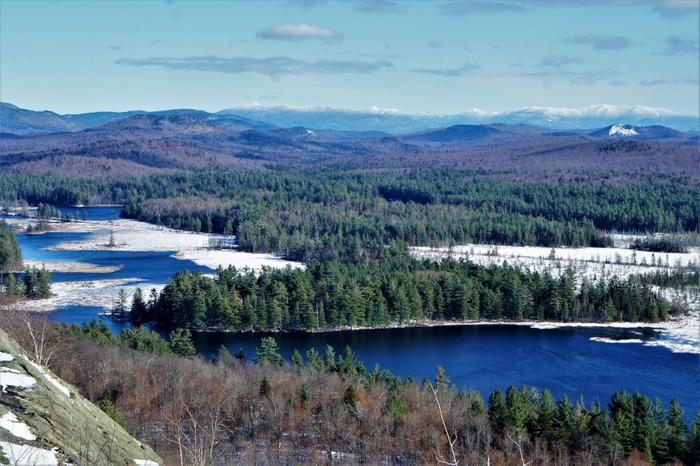
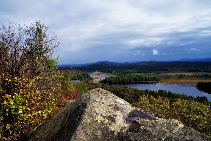
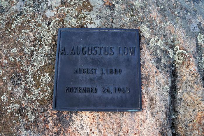
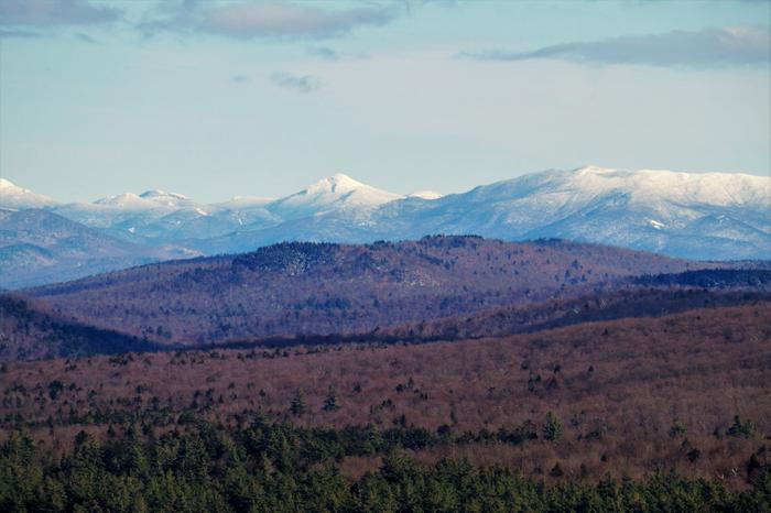
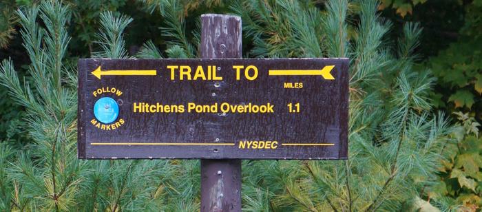
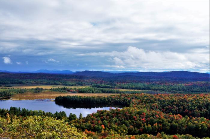
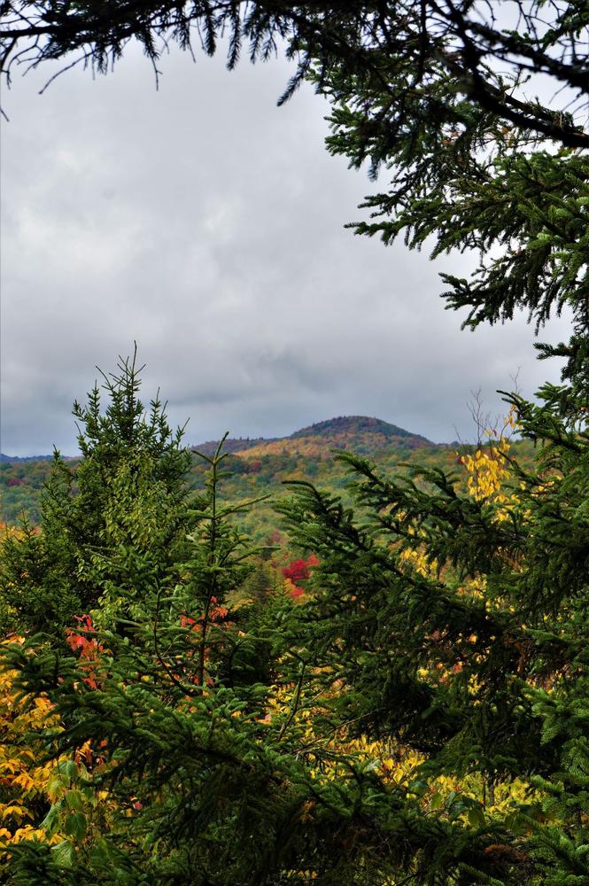
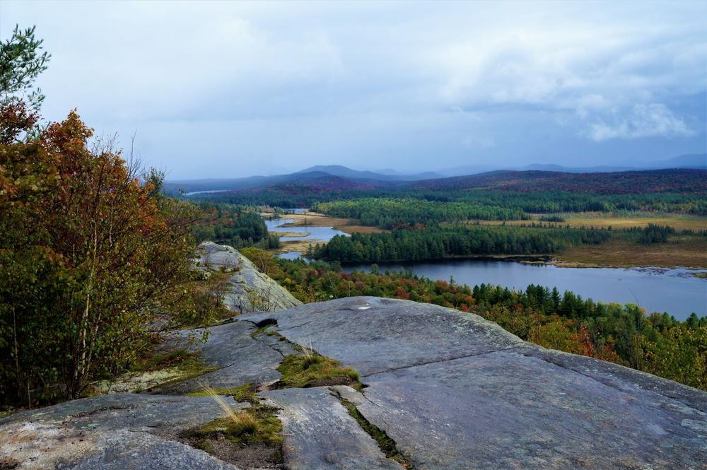
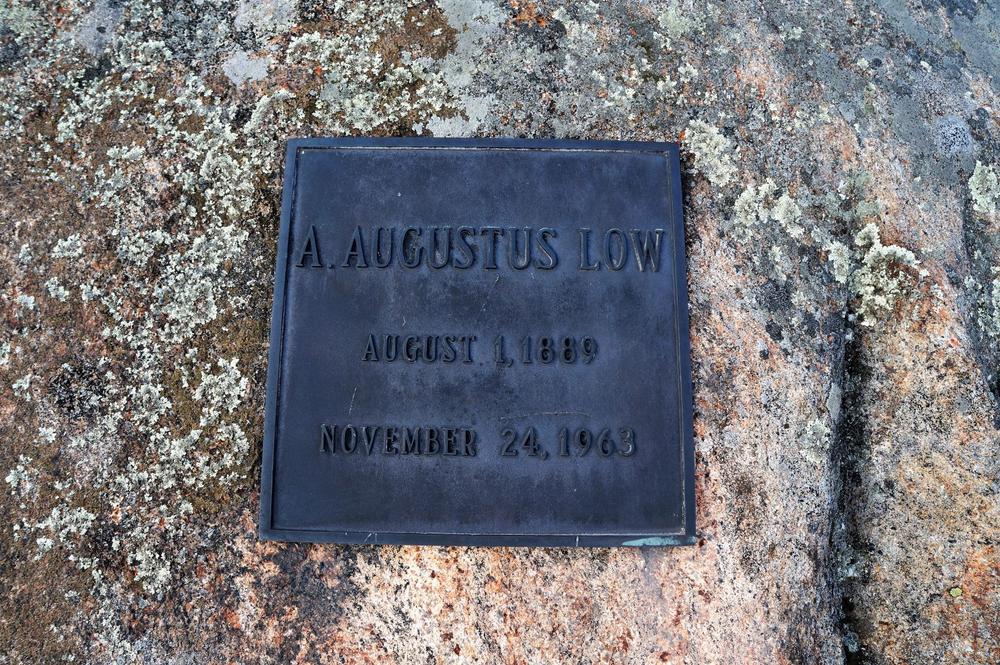
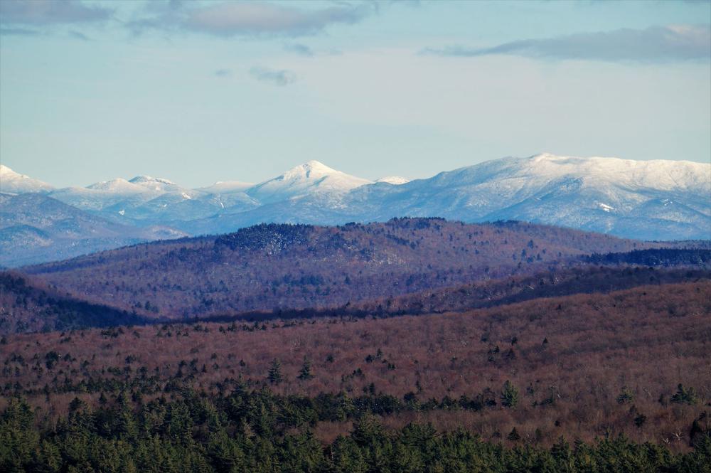
The blue marked trail to the overlook starts at the trail register. Don’t forget to sign in! For the next mile, the trail climbs steadily but not excessively. Just before the summit, there are some views of Silver Lake Mountain to the northeast. When you reach the summit, there are views of the high peaks, the Bog River, and Hitchen’s Pond that are second to none. Following the ridge top to the left leads to more views as well as a plaque mounted in the stone face commemorating A.A. Low Jr. Local lore has it that his ashes were scattered here. *Use caution around the ledges, as they are fairly steep.* After descending the overlook, retrace your steps back to the start of the trail. The route is about 7.4 miles in total.
You can also reach the Hitchen’s Park by paddling upstream 3 miles from Low’s Lower Dam to the Upper Dam. This is a wonderful paddle with ever-changing views of the Bog River, Hitchen’s Pond, and the overlook. You will even paddle under an old railroad bridge. Landing your canoe or kayak at the state sign and picnic area, you can then hike to the overlook.
For a deeper review of the area's history, you can visit Hiking the Trail to Yesterday.
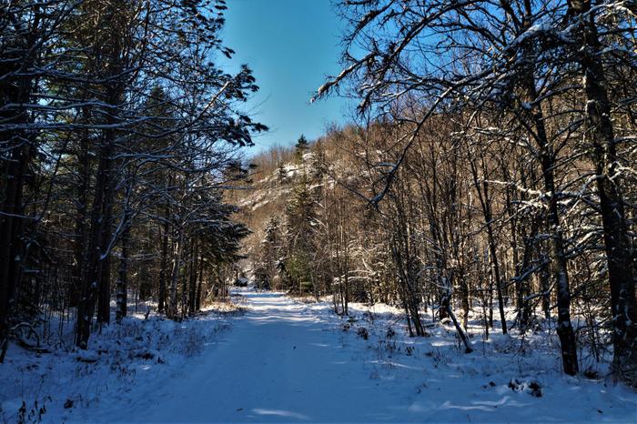
Be cautious as the road may not be plowed all the way to the gate in the winter months.
*Use caution around the ledges, as they are fairly steep.*
![]()
From Tupper Lake heading South on Rt 30 towards Long Lake, turn right (West) on to Rt 421. Follow this road for approximately 7 miles, going past Horseshoe Lake and crossing the railroad tracks. There will be a road to your left with a yellow gate; this is the start of the trek. Take care not to block the gate or road. The road may not be plowed all the way to the gate in the winter months.
Success! A new password has been emailed to you.


