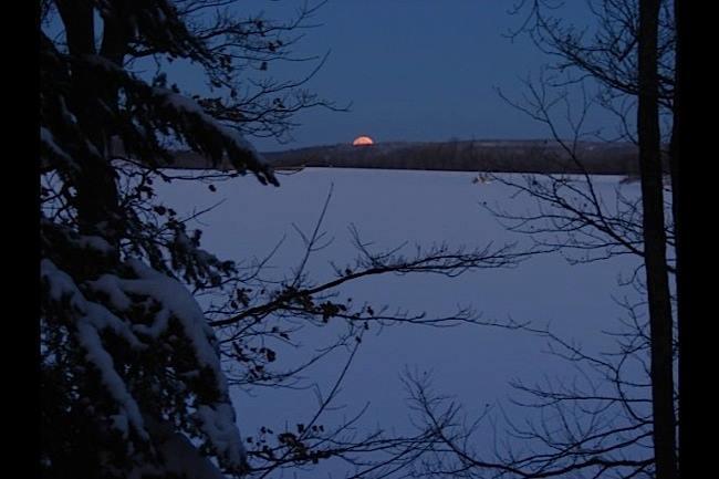
The Log Driver's Trail follows the Raquette River between the Villages of Potsdam and Norwood. The river loses approximately 80 feet in elevation in this section and is a combination of swift and flat water, providing a variety of paddling experiences for all skill levels. The river flows through a mixed landscape of woodlands, pastures, working mills, and the Village of Potsdam. The Raquette River is used to generate hydroelectric power: water levels may rise of fall unexpectedly, stay alert.
This trail can be enjoyed in short segments, described below, or as a whole. To paddle the entire trail, you will need to make short portages around four dams. The entire trail would need to be paddled in one day, since there are no designated camping spots on the Log Driver's Trail.
Potsdam Flow: A two-mile long pond from the Sugar Island Dam to the East and West Hydro Dams in downtown Potsdam. The Potsdam Flow is a "pocket" wilderness providing a surprisingly tranquil family paddling experience through a channel braided by upwards of 30 islands. The Potsdam Flow is an excellent place to observe migratory birds and raptors as well as offering great fishing. Access is found at Ives Park in downtown Potsdam and SUNY Potsdam's Lehman Park, both of which are located on the river's east bank. A carry trail can be found just north of the west channel of the river at the West Hydro Dam -- the carry trail proceeds north and enters the Sissonville Flow just north of the dam.
Sissonville Flow: A 1.6 mile section flowing through the heart of the Village of Potsdam. The current is relatively slow with no whitewater. This is an excellent area for bird watching and is one of Potsdam's best fishing spots. There is a well-marked take-out and 0.2-mile carry trail on the west side of the river just above the Boralex-Sissonville Hydro Dam. The carry trail leads to a picnic area where the put-in for the Hewittville Flow is found. Parking is located off of the River Road.
Hewittville Flow: A short paddle between the Boralex-Sissonville Hydro Dam and the Hewittville Hydro Dam. The take-out is located on the east bank of the river adjacent to the dam. The carry trail proceeds in a northerly direction and reaches the put-in near the junction of the main river channel and the trailrace from the Hewittville Dam. Put-in at the trailrace may be difficult during high water. Parking is available on the west side of the river just over the Hewittville Road Bridge.
Unionville Flow: Short but pretty paddle on an impoundment between Hewittville and the hamlet of Unionville. There is no formal carry trail in Unionville. As such, paddlers may return upstream to the Hewittville Dam take-out although this take-out may be difficult in high water conditions. Plans for a formal carry trail are currently being developed. An informal trail along Park Street and the access road to the Unionville wastewater treatment plant leads to the Unionville dam's tailrace.
Norwood Pond: The pond stretches between the Unionville Dam and the Norwood Pond Dam. Brookfield Renewable Energy provides a boat launch, handicap-accessible fishing platform, and parking on the east side of Norwood Pond, north of the Norwood Village Beach. The pond is annually stocked with walleye, ensuring a productive fishery.
This stretch of the Raquette River flows off of the Pre-Cambrian bedrock of the Adirondacks and onto the softer sedimentary rocks of the St. Lawrence Valley. The beautiful pink Potsdam sandstone seen in building throughout the St. Lawrence Valley is found in the lower sections of the river.
This section of river is part of the larger Raquette River Blueway Corridor and Trail, which is a 174-mile multi-modal trail that offers through- or section-paddlers with an unparalleled experience. The trail begins in Blue Mountain Lake and passes through Tupper Lake, Colton, and Potsdam to the confluence with the St. Lawrence River at the Akwesasne Mohawk Reservation near Massena.
For more information, visit the Raquette River Blueway Trail online.
Numerous boat launches in Potsdam, Sissonville, Hewittville, Unionville, and Norwood allow access to this section of the Raquette River. See map for their specific locations.
Success! A new password has been emailed to you.

