The High Falls Loop consists of more than 15 miles of difficult trail and is designated as a two or three day overnight excursion. This description of the route assumes a counterclockwise direction of travel.
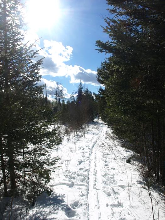
From the CL50/High Falls Trailhead, the route follows a flat railroad grade with wet sections due to beaver activity. The trail passes a view of the Oswegatchie River in the distance through the trees before coming to High Rock after 3.8 miles. High Rock has a scenic overlook of the river and there are DEC primitive campsites in the vicinity.
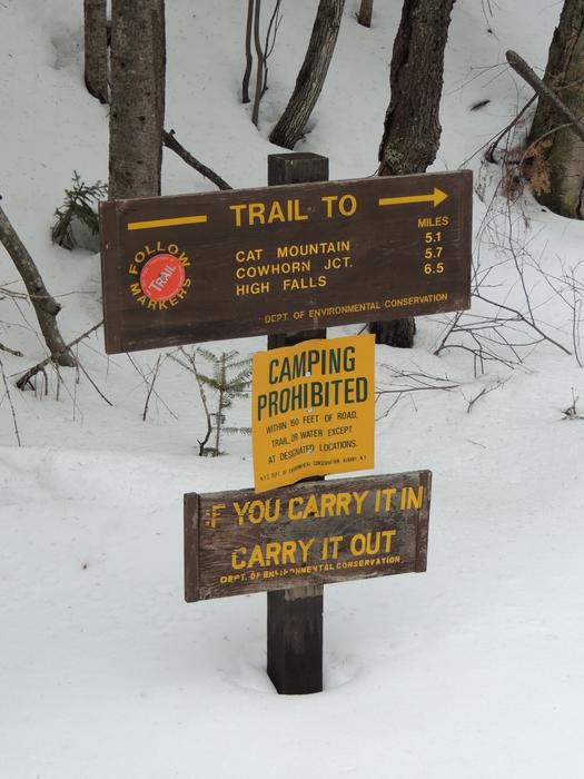
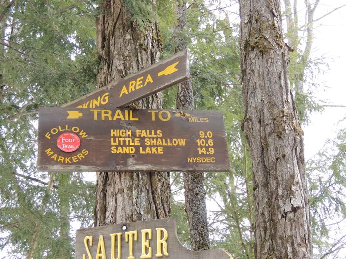
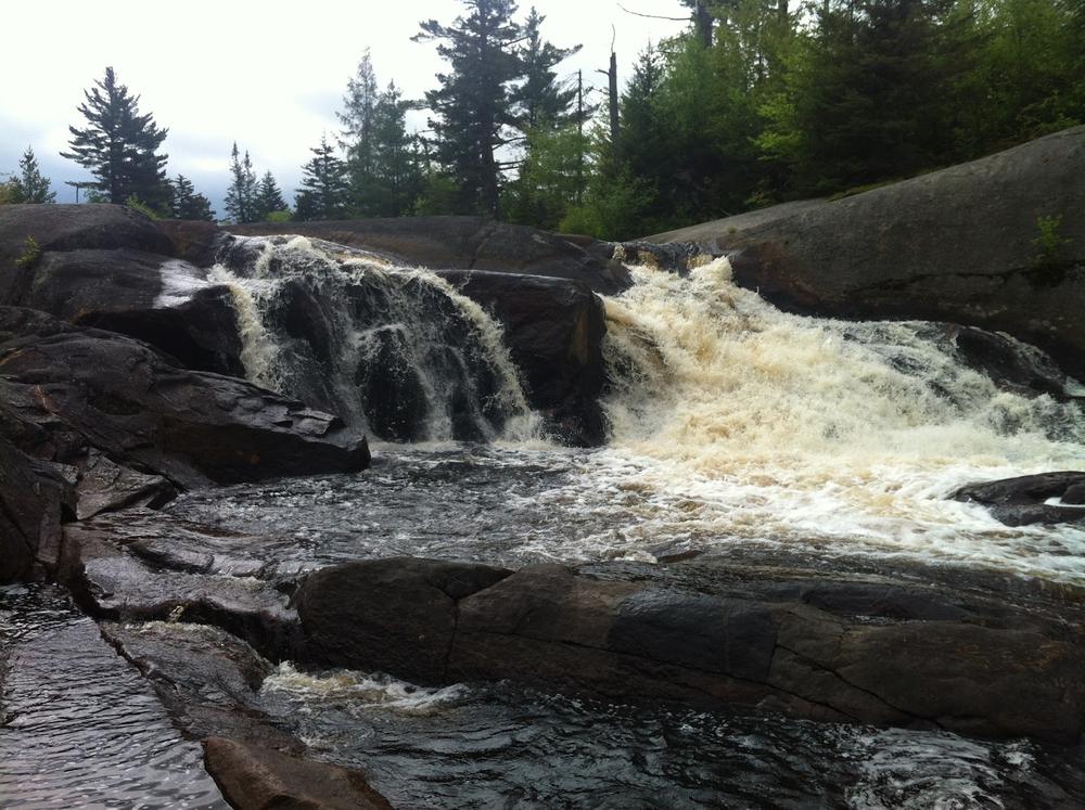
Past High Rock, the High Falls Trail continues to follow the now eastward curve of the Oswegatchie, passing a junction with the Sand Pond Trail, and continuing left and east toward High Falls. 4.6 miles from High Rock the High Falls Trail reaches a junction with the New Plains Trail. The High Falls Trail turns south here and continues for 0.5 miles before ending at the Falls. This is close to the halfway point and is a popular camping spot on the trail with primitive tent sites situated up and down the river.
Returning from High Falls, the High Falls Loop turns onto the New Plains Trail and continues northeast for 2.7 miles to its junction with the Cowhorn Junction Trail. This trail leads east toward Cat Mountain and it is here that the CL50 route departs from the High Falls Loop.
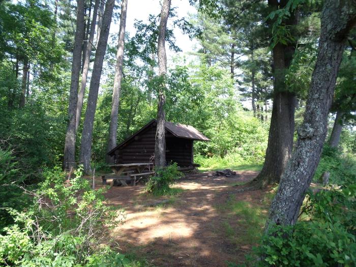
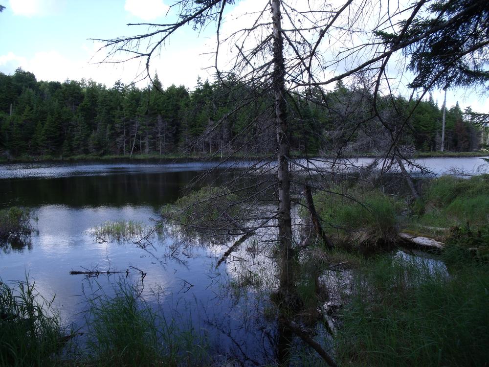
To finish the High Falls Loop, hikers continue north to stay on the New Plains Trail which follows a flat course with several slight downhill sections and passes by the 0.25-mile spur trail to Janacks Landing. A lean-to and primitive tent sites at Janacks Landing provide a quiet rest on the shores of Cranberry Lake.
Past the spur to Janacks Landing, the trail becomes the Dead Creek Trail. The Dead Creek Trail follows an old railroad grade for 2.8 miles before coming out on South Shore Road at the Dead Creek Trailhead. It is a 0.5-mile road walk back to the High Falls Trailhead.
Be cautious of attempting this as a day hike, especially in wintery conditions.
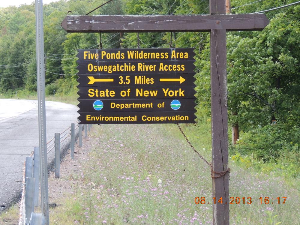
The High Falls Loop is on land maintained by the New York State Department of Environmental Conservation as part of the Cranberry Wild Forest and the Five Ponds Wilderness.
![]()
The High Falls Loop may be hiked clockwise or counter-clockwise, beginning at the Dead Creek Trailhead and ending at the High Falls Trailhead or vice-versa. The High Falls Trailhead is also a primary access point to the Cranberry Lake 50 (CL50) route and half of the High Falls Loop is along the CL50 route.
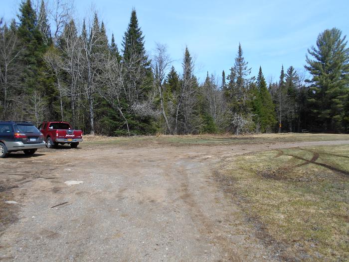
High Falls Trailhead: From NY-3 outside of Wanakena, turn south onto CR-61/Main Street, drive for 1.2 miles, and take the bridge across the Oswegatchie river. Continue straight onto South Shore Road for 0.25 miles before coming to the trailhead parking on the right. From the parking area walk back up South Shore Road for a few hundred feet and turn left onto a dead-end drive. The trailhead is located at the end of this drive, 0.1 miles from South Shore Road.
Dead Creek Trailhead: Located 0.5 miles east of the High Falls Trailhead parking on South Shore Road. There is a small parking lot adjacent to the trailhead.
Success! A new password has been emailed to you.


