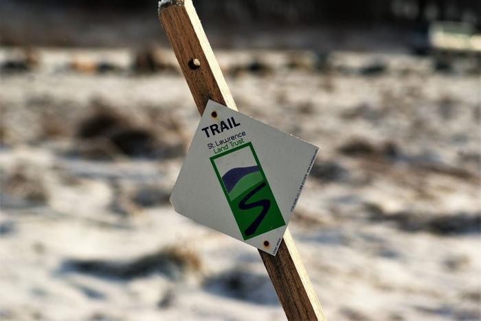
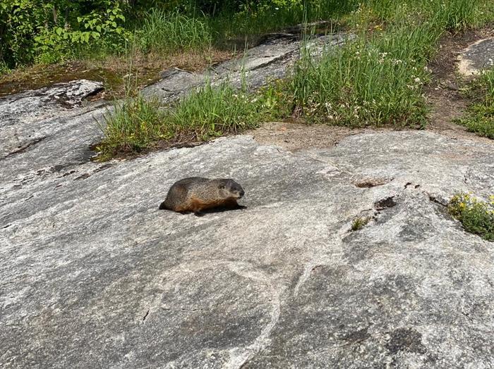
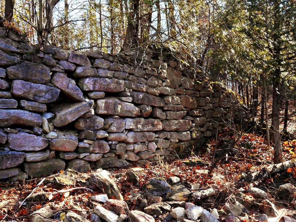
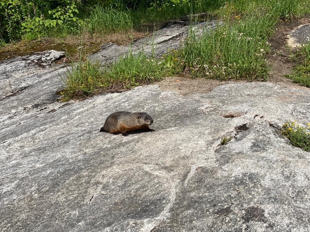
The trail heads southwest around the gate and is well brushed out. There are some white/green and blue trail markers along the trail. The trail is fairly level and is suitable for year-round use, including snowshoes and cross-country skiing. There are some wet spots along the trail, but there have been recent improvements made to navigate these. Recently the entire circumference of the field has been mowed and would allow an extended outing here. The field is growing back to its natural state and is very attractive to wildlife.
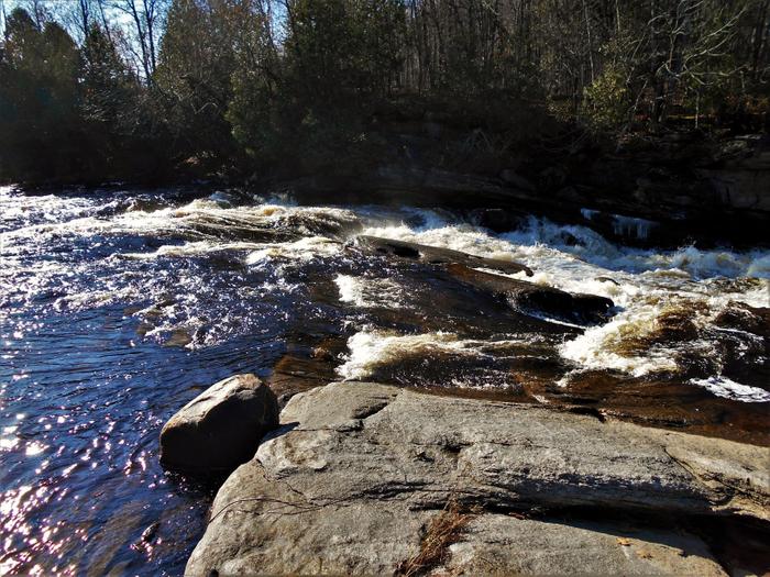
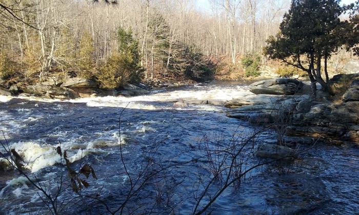
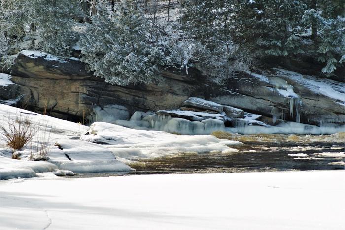
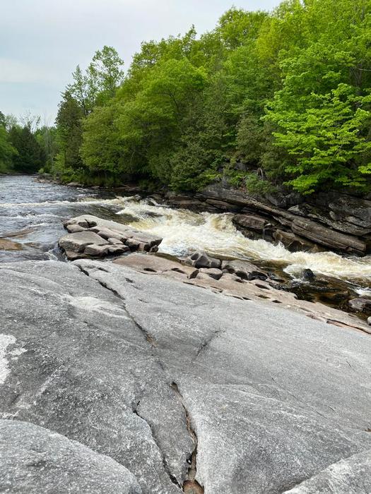
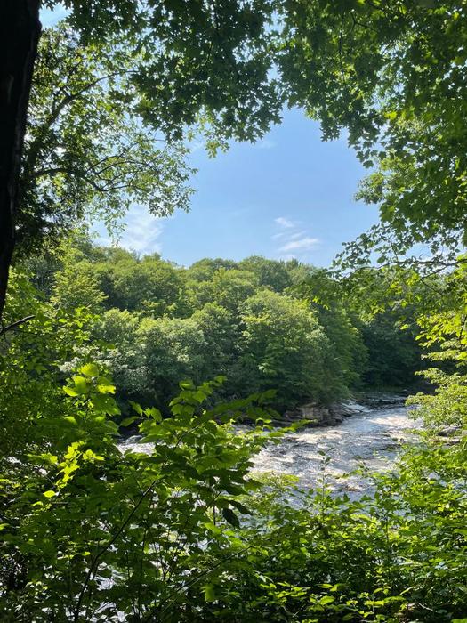
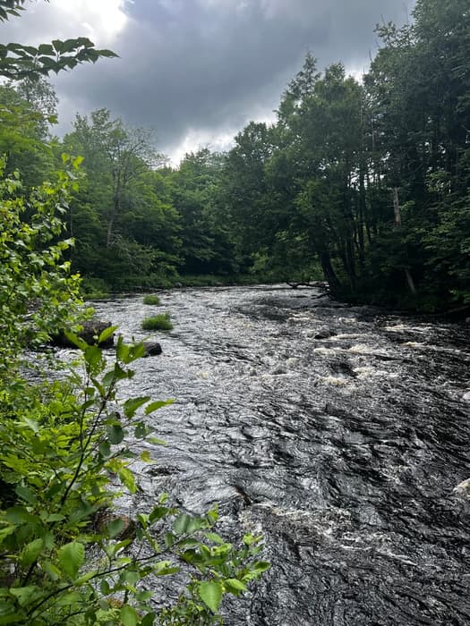
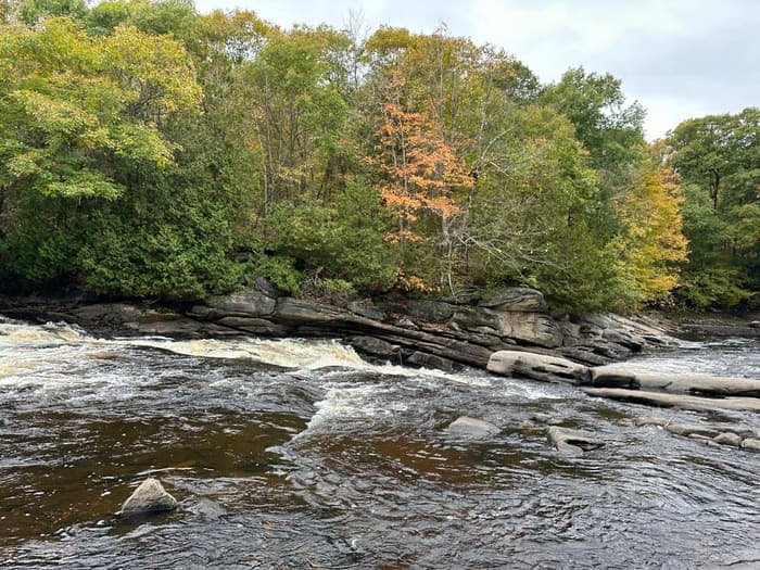
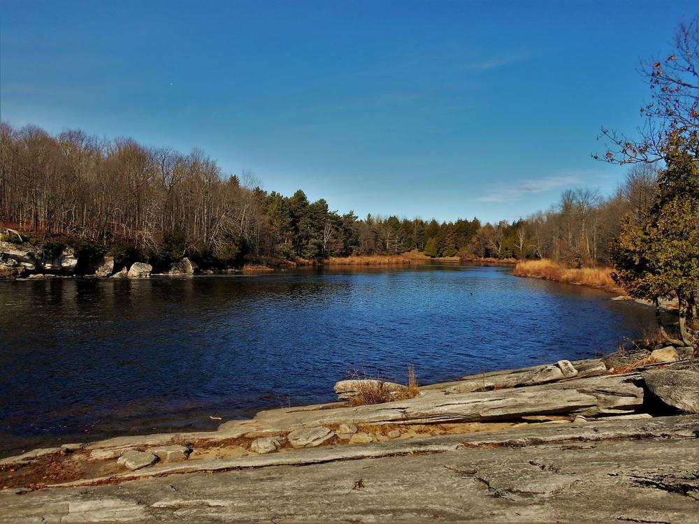
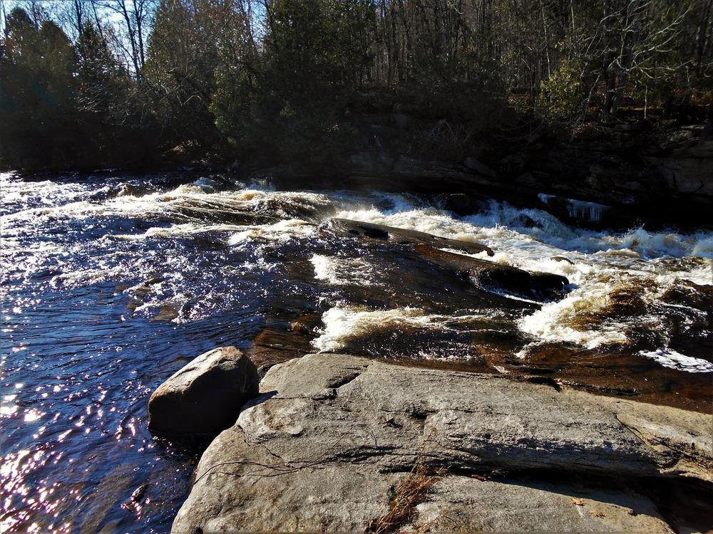
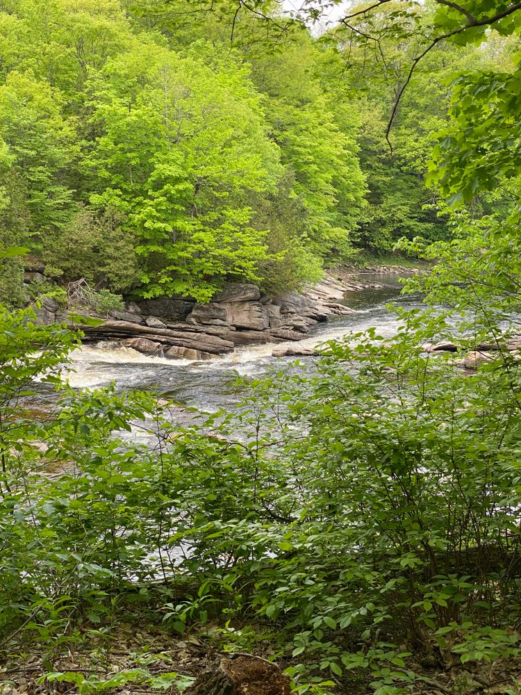
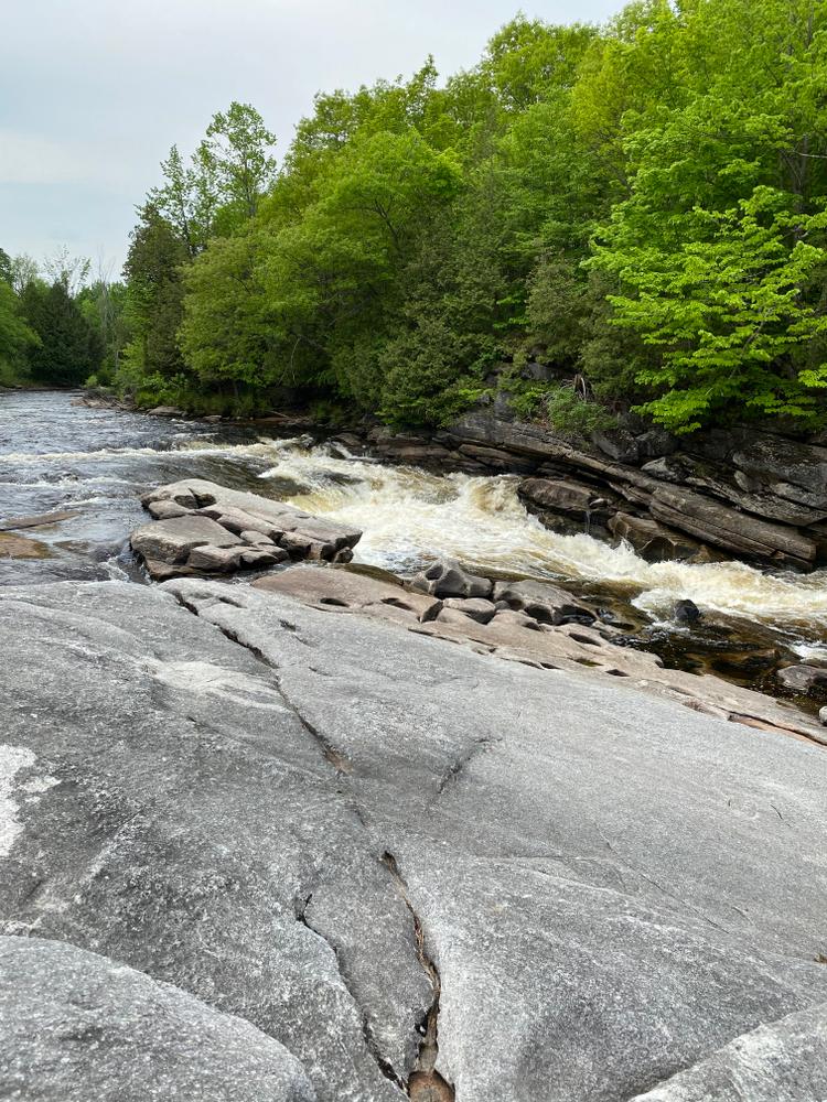
You will hear the falls before you see them. The trail turns to your right (west) at about .25 miles and enters into the woods. The first views of the falls can be seen here. There is a nice shaded picnic area overlooking the falls. The mill site is downstream from the falls.
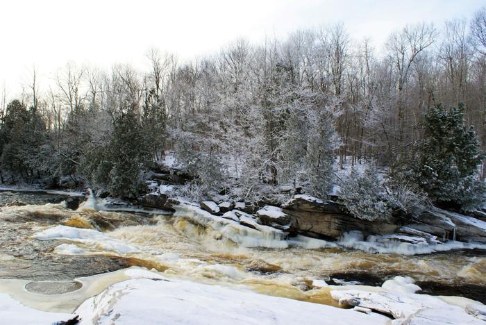
If visiting in winter, be careful of slippery ice near the falls.
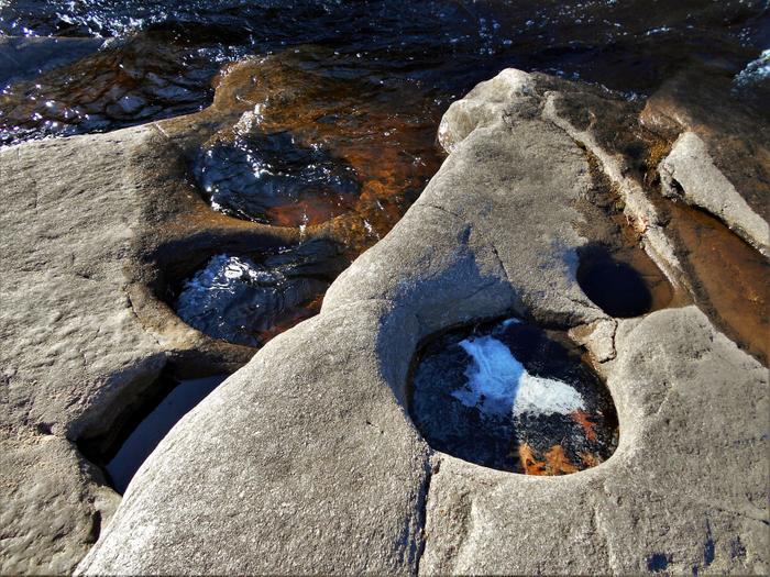
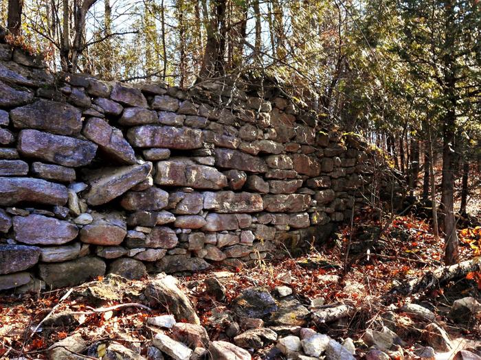
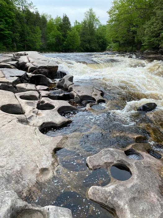
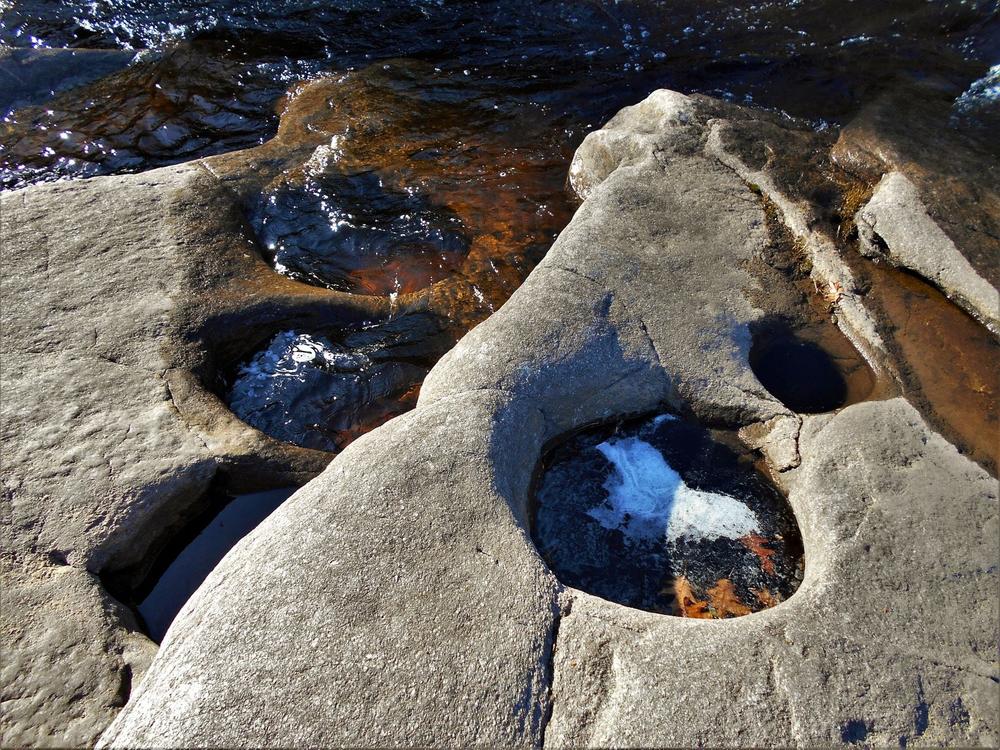
The falls were named after a Mr. Hart that built the mill here after his time as a soldier in the Civil War. Looking downstream you can see the where a raceway was blasted into the bedrock to supply water to the mill. For more on the history of the local area check out Hiking the Trail to Yesterday.
For more information, visit the St. Lawrence Land Trust website or contact:
![]()
From county RT 25, turn South West onto Town Line Road. This is approx. 7.5 miles from the village of Russell or 5.5 miles from Canton, depending on your direction of travel. Follow the Town Line Road 2 miles to the end of the road. Turn left (South) and the trailhead parking area is 100 feet ahead on your right. From the intersection you can see the kiosk at the trailhead.
Success! A new password has been emailed to you.


