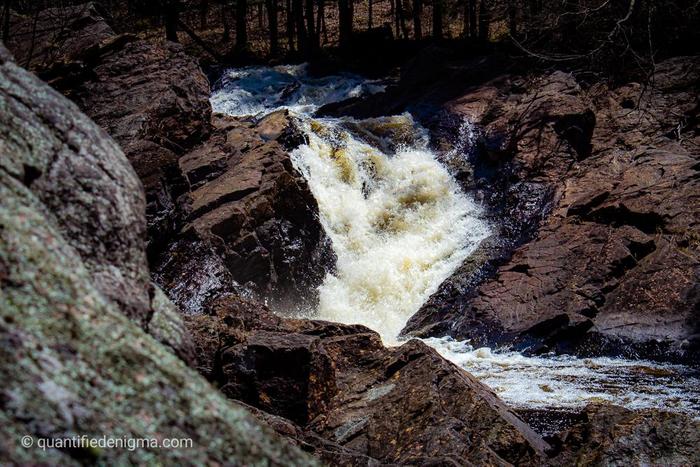
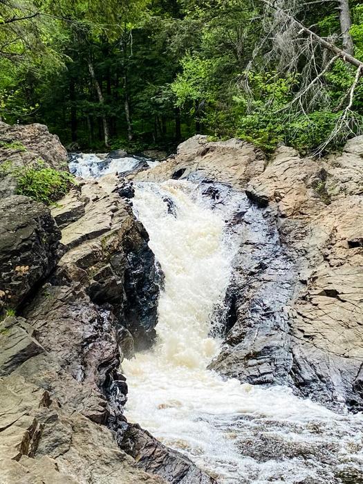
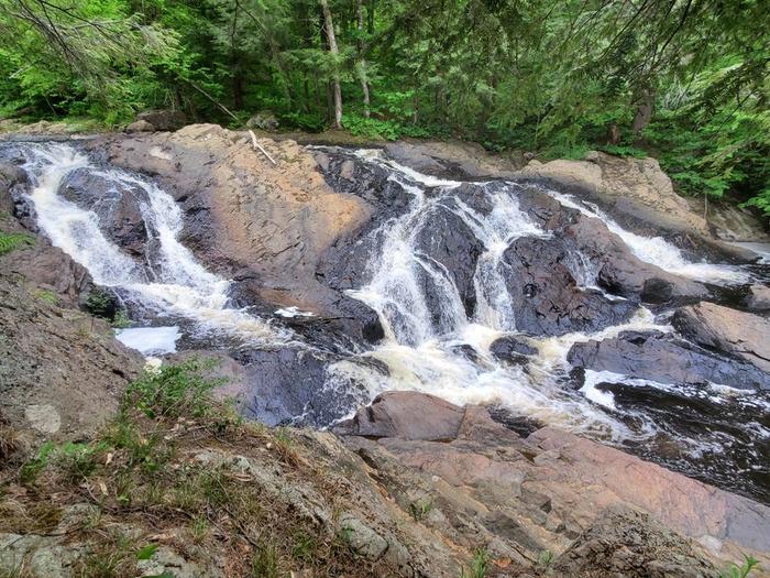
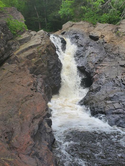
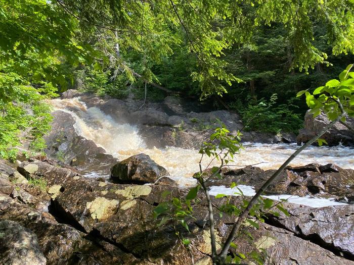
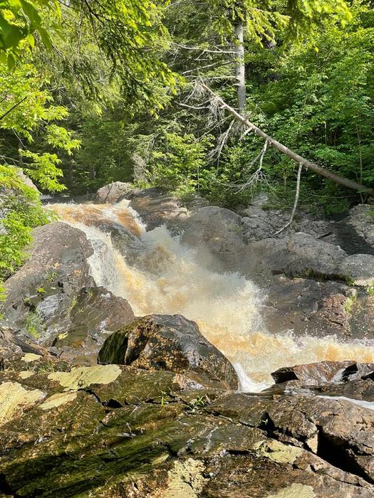
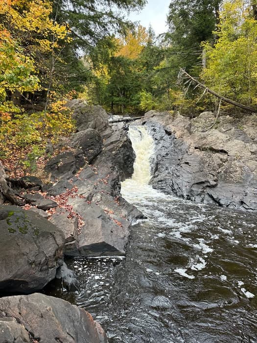
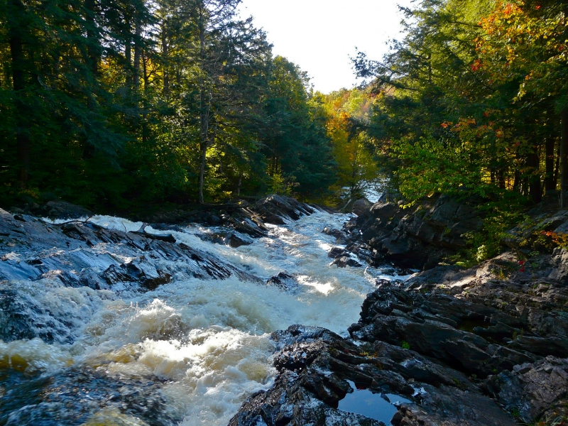
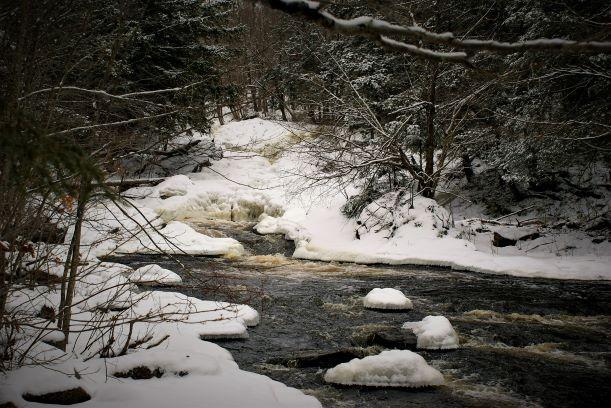
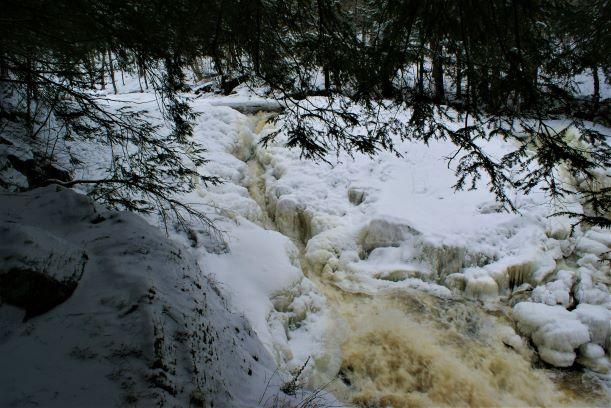
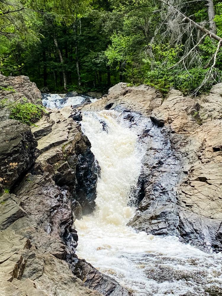
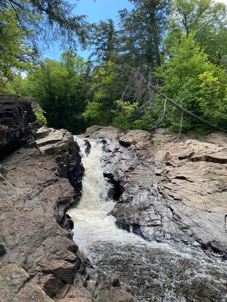
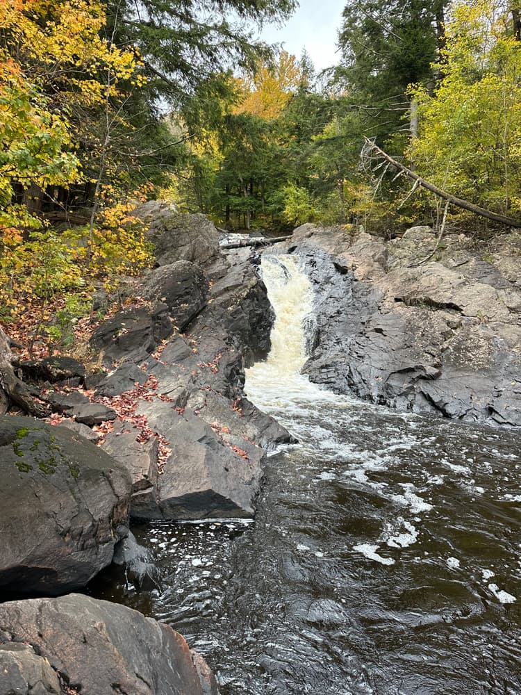
The Harper's Falls Trail travels 0.6 miles to the edge of a 60-foot waterfall on the North Branch of the Grasse River. The upper falls is a series of small cascades, which channel into a narrow chute for the final drop. Old stone walls next to the waterfall are remnants of an old mill once located at this site.
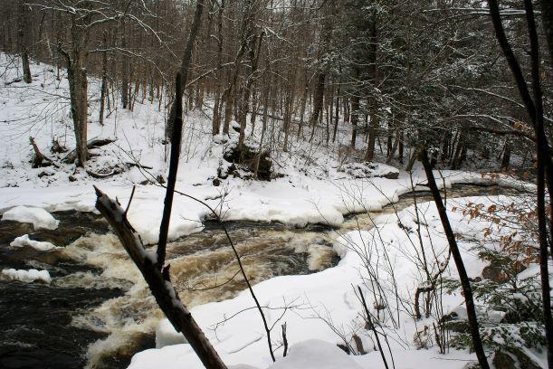
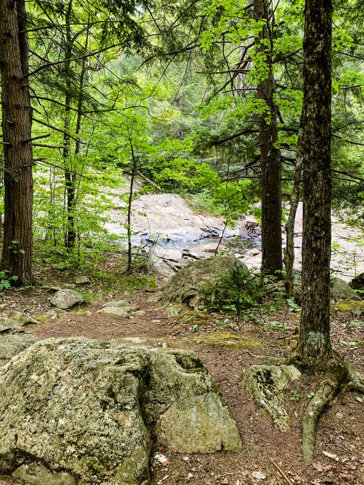
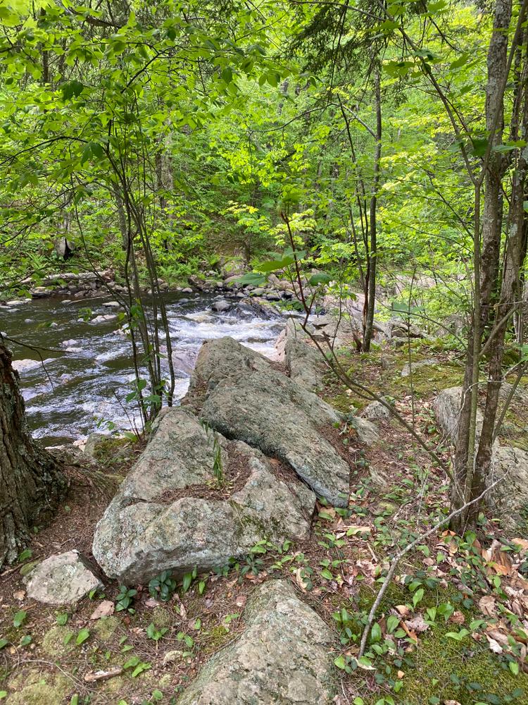
Starting from the trailhead off Donnerville Road (sometimes spelled Downerville), the trail descends through a mixed deciduous and hemlock forest to cross two small bridges. The trail then climbs briefly before making its final descent to the falls. Look for signs of beaver and porcupine activity along the trail.
A lovely designated campsite is located next to the falls, perfect for a quick overnight backpacking trip.
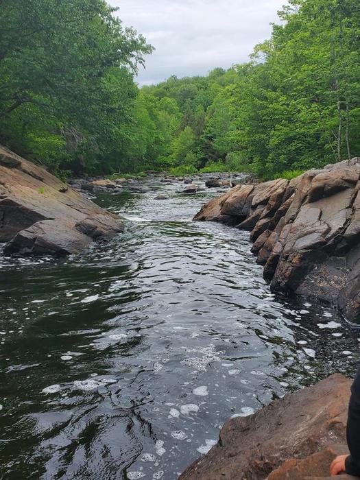
For those looking for a longer hike, the trail continues west along the river, leaving the Adirondack Park boundary and entering Donnerville State Forest. Many trails spur from the river trail, and the area is a popular mountain bike destination.
This trail is part of the Grass River Wild Forest, a 54,000-acre collection of public forest preserves located in the towns of Clare, Clifton, Colton and Fine in St. Lawrence County and managed by the New York State Department of Environmental Conservation.
For more information, please visit the New York State Department of Environmental Conservation online, or contact:
![]()
Park in the small dirt lot on the south side of the Donnerville Road. The GPS coordinates are 44.441549, -75.069148.
Success! A new password has been emailed to you.


