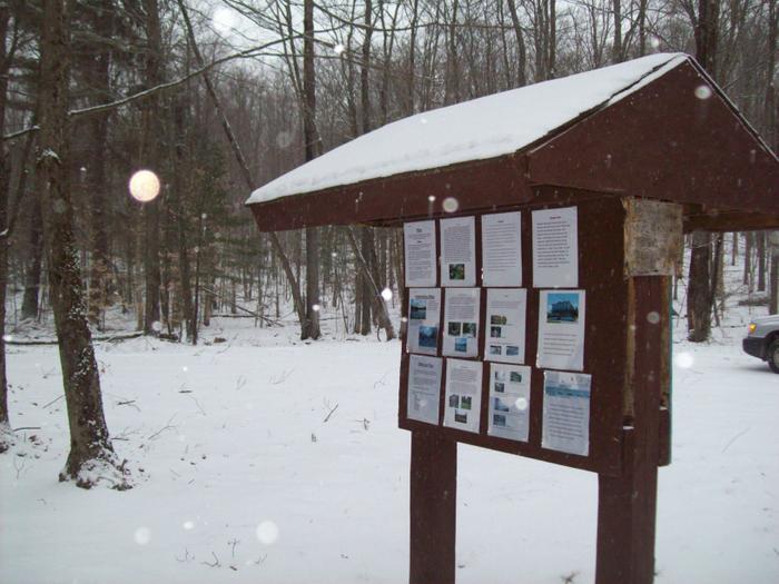
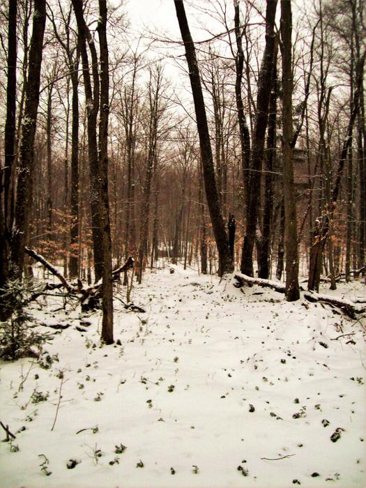
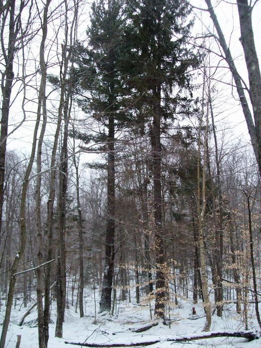
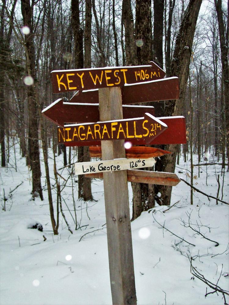
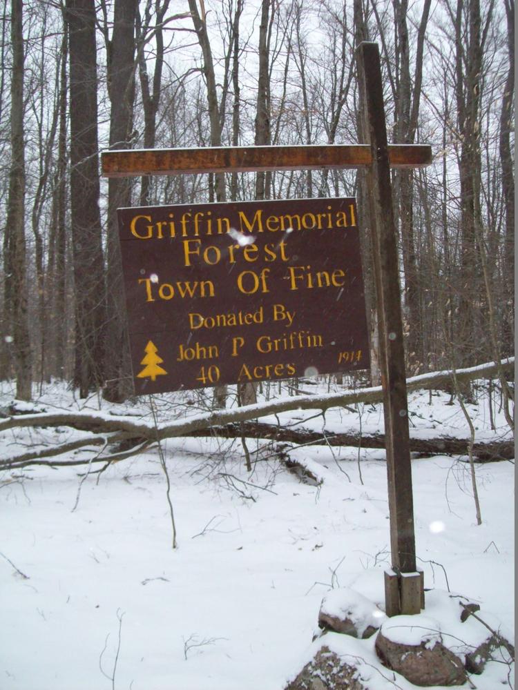
There are information kiosks at the entrance to the trail with information on local history and the flora and fauna of the local area, as well as a picnic table and fire pit in the parking area. There is a fun signpost showing the distance to many locations – like Key West, London, the Finger Lakes, etc. The main trail is wide and fairly easy to follow. This rail will take you through some well-managed hardwoods and some of the nicest Black Cherry trees in the area.
For more on the history of the local area check out Hiking the Trail to Yesterday.
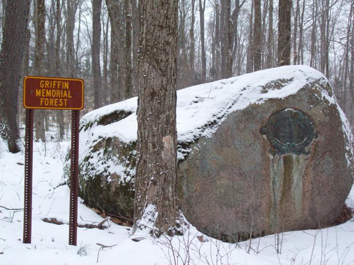
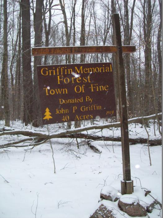
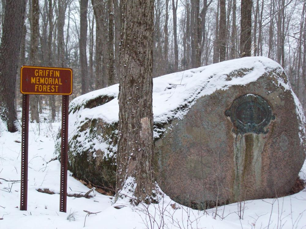
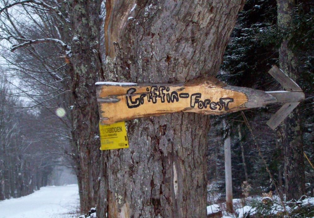
From New York State RT.3, in Oswegatchie NY, turn onto the Brown’s Falls Road. Following this Northeast, you will come to a fork in the road at the Schuyler Road intersection. Keep to your left and you will see a water tower on your left and pipeline (hydro plant) as you cross over it. Stay on this road, and you will cross Skate creek at the bottom of a hill. The name of the road varies on the map- on google maps, it is the Griffin Road up to the bridge, from there forward it’s labeled as the Skate Creek Road. Continue to the top of the hill. Just past the first house you see on your right, take a right-hand turn, this is the Sitting Bull Road. Shortly after, you will find another road to the right, Owl Mountain Road. Following this to the end you will see the memorial plaque/rock, the parking area is just past that, with a circle driveway. The roads are well maintained and should be passable for most cars in non-winter months.
Success! A new password has been emailed to you.


