Discover Glenmeal State Forest

Glenmeal State Forest is host to a small network of year-round trails and is a particularly popular spot for cross-country skiing in the winter.
TRAIL ACTIVITY
LENGTH
2.10 miles, Network
DIFFICULTY
Easy, Moderate
TOWN
Pierrepont
SURFACE
Ungroomed Snow, Dirt/Forest Floor
PETS
Permitted
FEES
No

Description

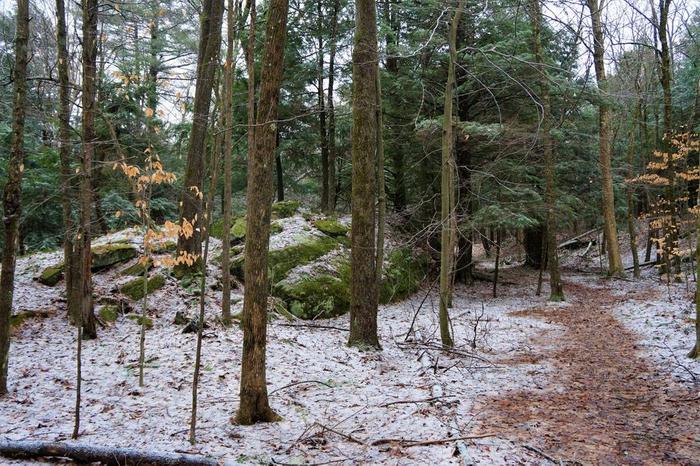
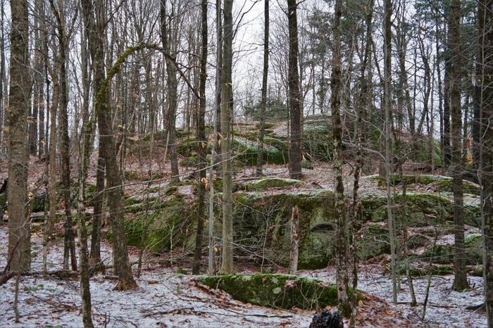
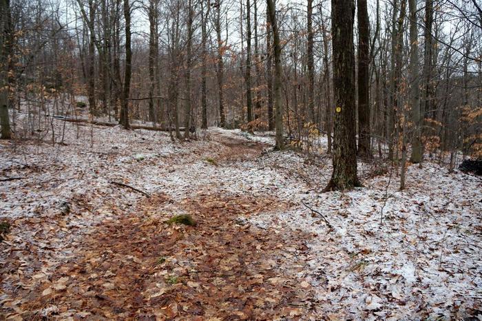
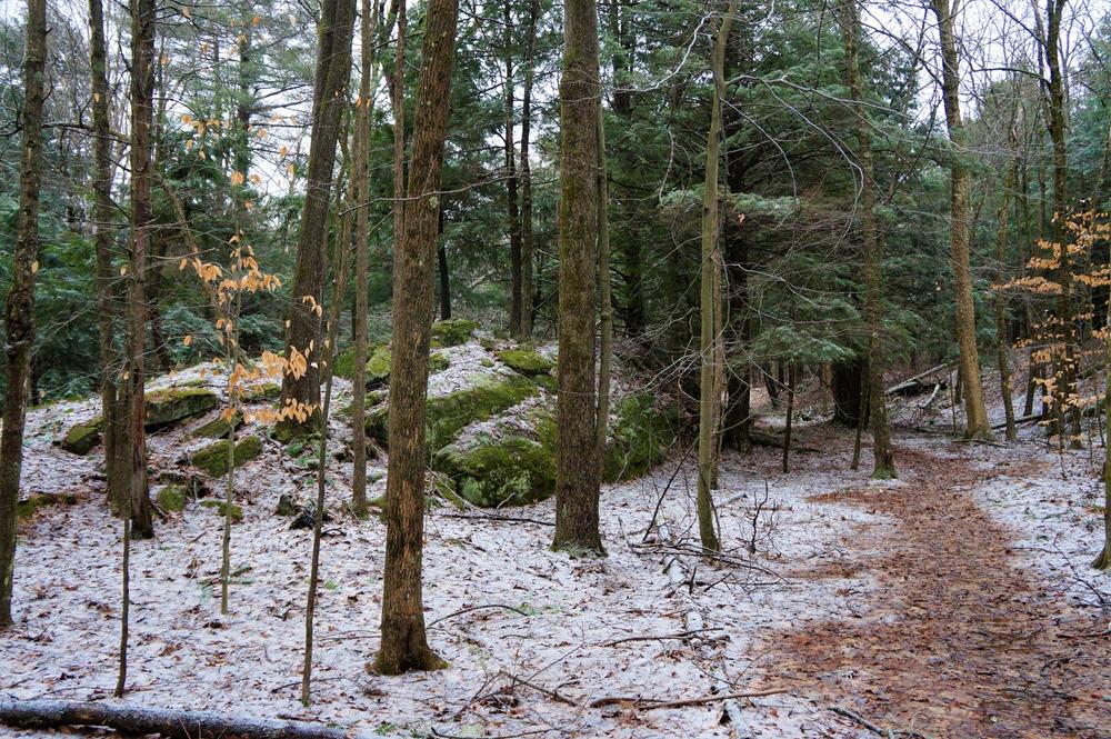
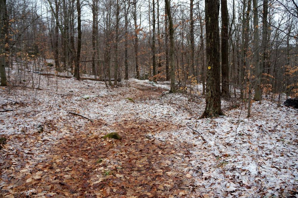
The trails in Glenmeal State Forest are designed with winter non-motorized use in mind, but they can also be used by hiker or mountain bikers. In winter they can be snowshoed or skied, and are geared towards beginner and intermediate users. The network starts as a single trail from the parking area that connects to a public forest access road. Several marked loops branch off from several points along the forest road.

Other Information

Hunting and primitive camping are both allowed in Glenmeal State Forest; see the DEC website for more information.

Trail Manager

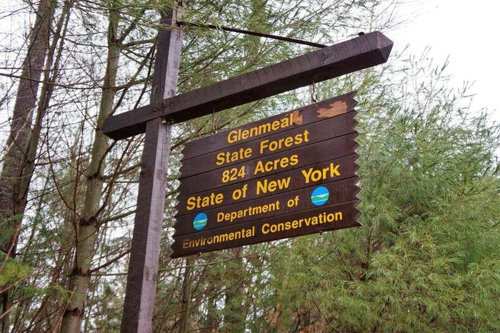
Glenmeal State Forest is managed by the Department of Environmental Conservation. Visit their website for additional information and a trail map.

New York State Department of Environmental Conservation Potsdam Sub-Office

New York State Department of Environmental Conservation Potsdam Sub-Office
190 Outer Main Street - Suite 103
Potsdam, NY 13676
Phone: 315-265-3090
information.r6@dec.ny.gov
View website

Nearby Businesses

Trail Tips

Prevent Hypothermia
Limit your sweat and exposure to cold water, even in the summer months. Bring warm and dry clothes in case the shivers set in.
Legend
Hide All

Trailhead Information

The network is reached from County Route 24. A small parking area is marked with a DEC sign on the southeaster side of the highway.

Click on a parking icon to get custom directions
Please Sign In or Create Account to add comments.
jmcarotenuto
January 31, 2021
Beautiful trails. Saw moose tracks. Appreciated the previous advice about snow shoes vs. skis. A few spots it seems there are some spur trails. Once you follow them for a bit you don’t see trail markers. Perhaps these lead to private land? Didn’t follow them far enough to find out. The rest of the trails are well marked by blazes- red from the parking lot, yellow loop is to the south, blue loop is north.
prc59
January 18, 2021
After reading the trail description we went here to Xc ski. We found the terrain to be much better suited for snowshoes. We did the yellow loop and had a few steep climbs that required us to herringbone a good stretch. We’ll go back with snowshoes and explore the blue loop.
SHARE THIS TRAIL

Add Trail Log

Please wait…
Join In on the Fun!
Log in or create an account below to unlock all the great features of STLC Trails: keep track of trails you want to do, preserve memories of trails you’ve done, earn badges, and more!
Your log in attempt was not successful. Please try again.
    Lost your password? Reset your password
    Don't yet have an account?
    There was an issue with your submission. Please try again.
      * Indicates required field
      Already have an account? Login here
      Enter your username, and we will send you a new, randomly generated password to your email account.
      There was an issue with your submission. Please try again.

        Success! A new password has been emailed to you.

        Log in now

        Please wait…