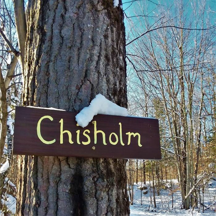
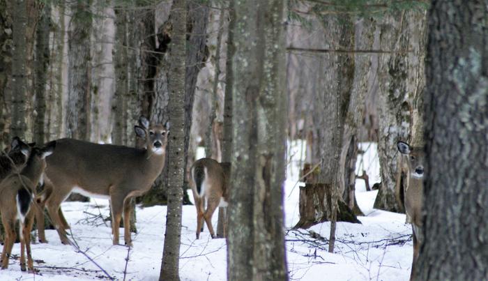
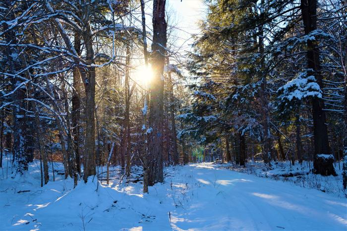
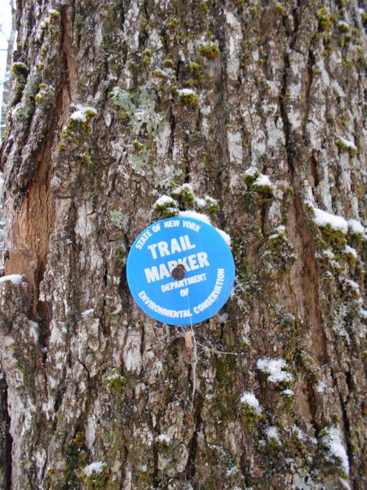
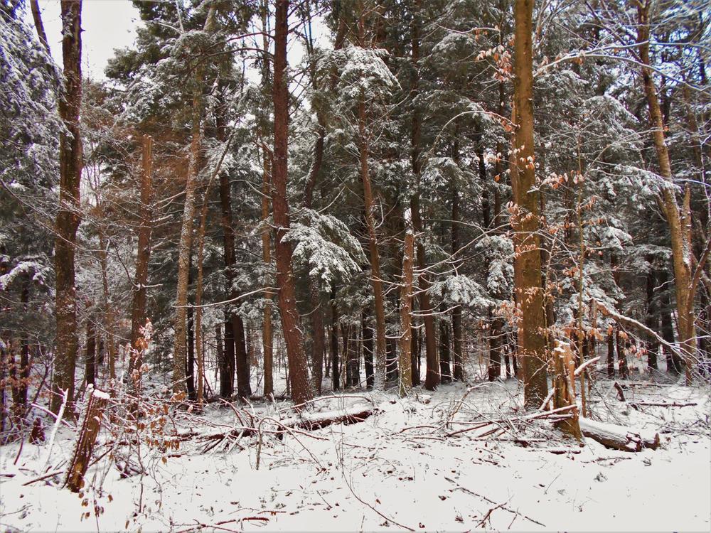
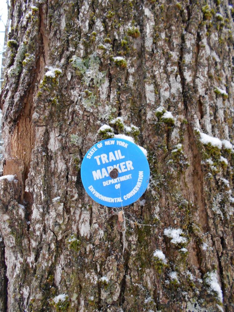
This is an easy year-round multi-use trail and is suitable for all ages. This trail lies within the 1,281-acre Whippoorwill State Forest. The trail follows along an unimproved access road that may see vehicle traffic certain times of the year. The trail is marked with blue markers, and is easily followed. This is a popular hunting site in the fall, so make sure to wear orange or other conspicuous colors if visiting in season.
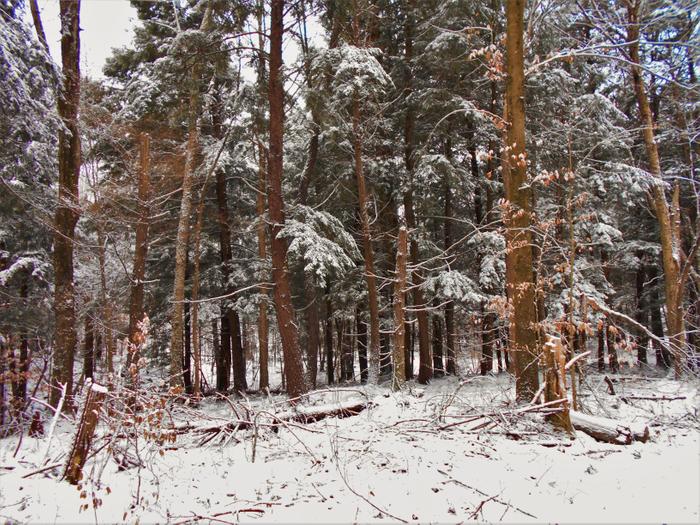
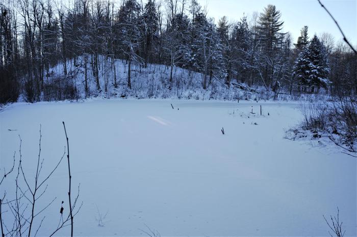
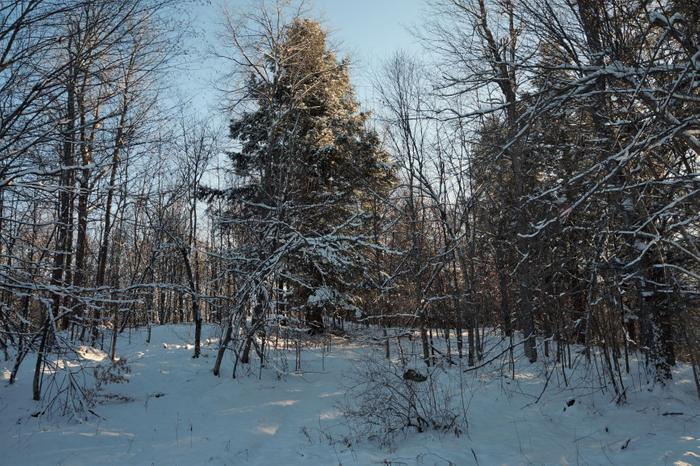
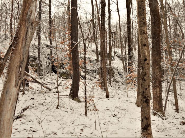
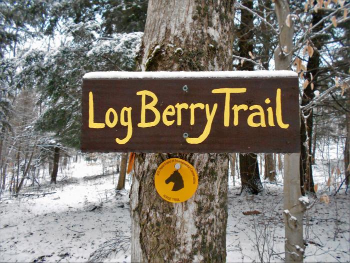
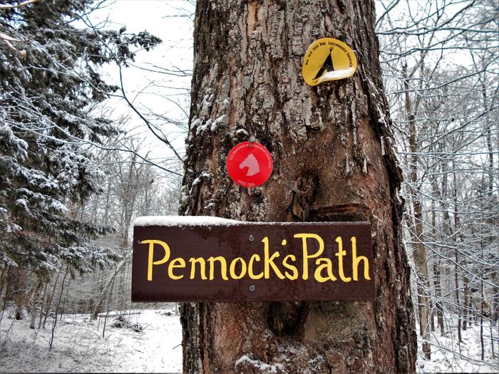
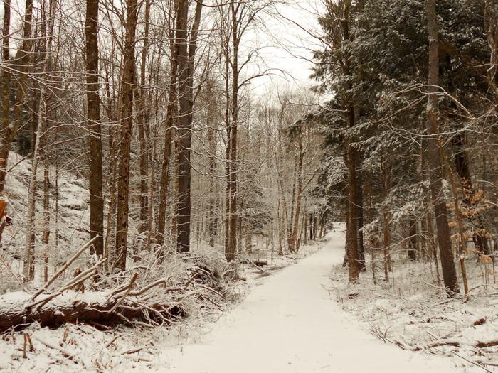
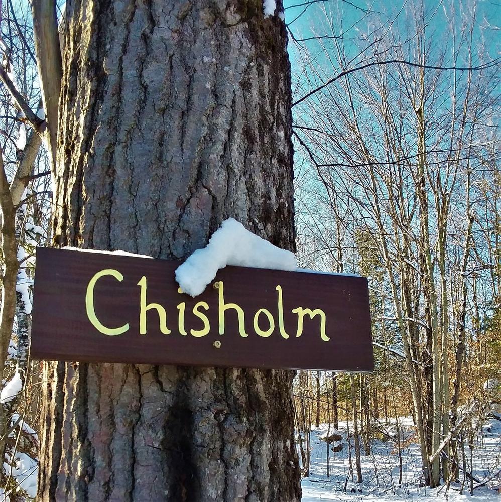
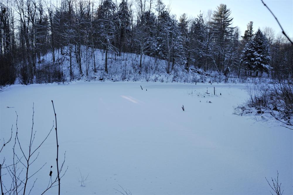
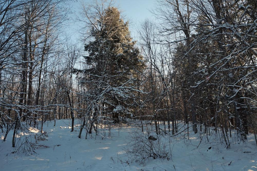
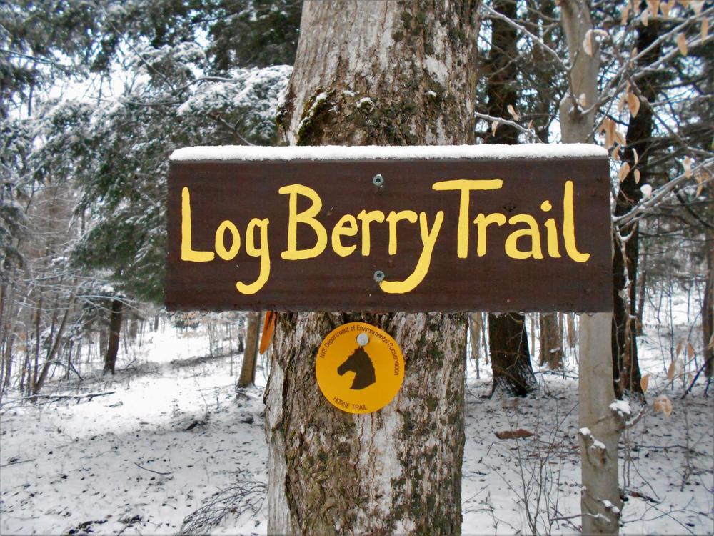
The trail starts at the gate off of the main road. There is parking for a few cars there. At the start, a beaver pond runs parallel to the trail, with a plantation of red pine between the two. When you reach the 0.2 -mile mark, the loop begins and you can go left (NW) or right (NE). *NOTE-Directions/mileage here will be given from the right/NE direction. Heading right starts uphill through mixed hardwoods of beech, maples, cherry and occasionally an oak. There are plenty of large rock outcroppings along the trail, perfect for those who like to scramble up to the top of the peaks. When you reach the 0.6 mile, you’ll find the LogBerry trail heading to the right, marked with yellow markers. This trail leads out to St. Lawrence County Route 24, approximately 0.75 miles NE of the trail head you started on. The forest has started to become a mixed stand, with white pine and hemlock interspersed with the hardwoods. As the trail starts to loop around, you will find another spur trail to your right (N) at 0.7 miles. This is the Pennock’s Path Trail, marked with red markers. This trail features a designated camp site, and rejoins the Chisholm Trail .0.4 miles further ahead. The trail leads downhill from here and at 1.1 miles the Pennock’s Path Trail comes in on your right. The trail enters a low spot through here, although any standing water can be walked around without much difficulty. At the 1.2 miles mark you have reached the clearing where the loop started. Bear right here and the trail head will be 0.3 miles ahead.
This is a popular hunting site in the fall, so make sure to wear orange or other conspicuous colors if visiting in season.
![]()
Traveling South on County Route 24, the trail head is on the right, 2.1 miles from the four corners in Russell. There is a yellow mud gate that may be closed during wet conditions. There is parking for a few cars, but be careful not to block the gate.
Success! A new password has been emailed to you.


