Discover Carry Falls Reservoir

The largest of the Raquette River impoundments
TRAIL ACTIVITY
LENGTH
6.00 miles, One Direction
DIFFICULTY
Moderate
TOWN
Colton
SURFACE
Lake/Pond
PETS
Permitted
FEES
No

Description

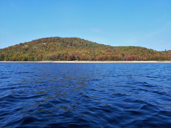
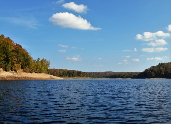
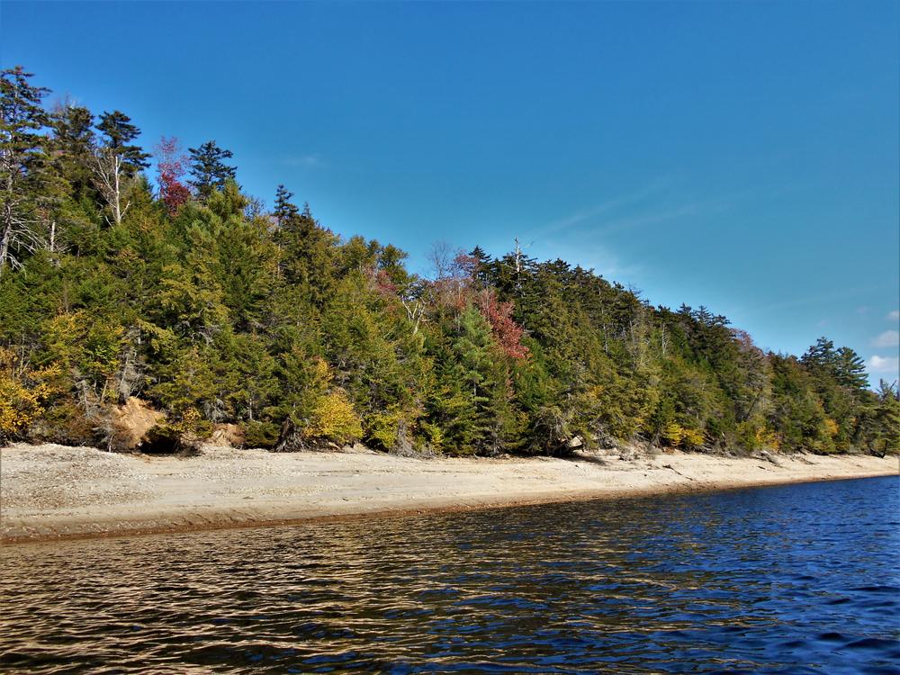
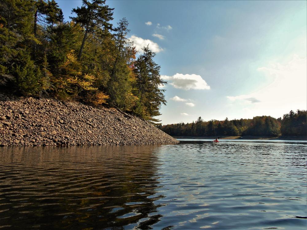
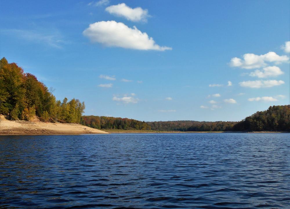
At 3,074 acres, Carry Falls Reservoir is the largest impoundments on the Raquette River. The river flows to the north from the Hollywood Road launch. The water levels fluctuate greatly over the course of the year. Low water levels expose many large rock formations along the way. Water level influences the strength of the flow.

The route is fairly sheltered from the winds for the first 4 miles. At that point, the flow opens up to the west near Catamount Mountain. This section can produce strong west winds that will cause heavy waves running at right angles to your route. Paddlers should be experienced in these conditions before venturing into this section of the reservoir.

Nearby hiking trails include Catamount Mountain, Clear Pond. ATV's can also access the County's trail system nearby across route 56 from the reservoir.  

Trail Manager

For more information, contact:

Brookfield Renewable

Brookfield Renewable
200 Liberty Street, 14th Floor
New York, NY 10281
Newyork@brookfieldrenewable.com
View website

Nearby Businesses

Trail Tips

Keep Wildlife Wild
Do not feed, follow, approach, or otherwise harass wild animals. Doing so may alter their natural behaviors. Store your food and trash securely and keep your camp tidy to prevent unwanted animal guests.
Legend
Hide All

Trailhead Information

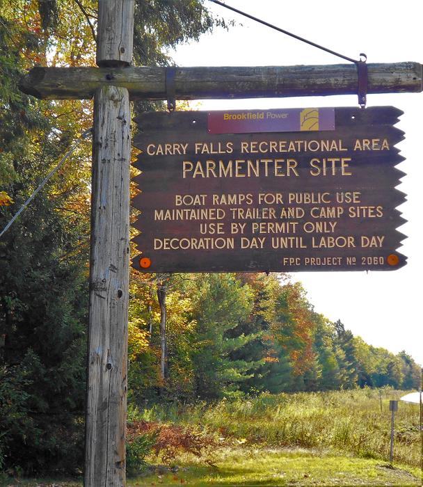
South- boat launch: The southern launch is located at the end of Hollywood Road in Colton. From NY-56, follow Hollywood Road  0.7 miles to the launch at the campground.

North, boat launch: The northern launch is located on Carry Falls Rd in Colton. From NY-56, turn onto Stark Road and continue for 1.5 miles. Turn right onto Carry Falls Road and continue 1.6 miles to the launch.

West, hand-carry launch: On NY-56 in South Colton, continue 0.4 miles past the Catamount Lodge. The carry is on a dirt road on the left. From the parking area, it is a 500’ carry of medium difficulty.

Click on a parking icon to get custom directions
Please Sign In or Create Account to add comments.
Safety
Be a Safe and Respectful Paddler
Paddling conditions will vary according to the weather and season, so always exercise caution and always wear a lifejacket; be prepared to swim and never boat alone. File a float plan with a friend who will check up on you. With good judgment and proper equipment, the risk associated with paddling can be minimized. Respect the natural world and the rights of landowners, and be considerate of other outdoor enthusiasts. Paddlers should seek to avoid causing erosion, trampling vegetation, disturbing wildlife, and harming water quality.
SHARE THIS TRAIL

Add Trail Log

Please wait…
Join In on the Fun!
Log in or create an account below to unlock all the great features of STLC Trails: keep track of trails you want to do, preserve memories of trails you’ve done, earn badges, and more!
Your log in attempt was not successful. Please try again.
    Lost your password? Reset your password
    Don't yet have an account?
    There was an issue with your submission. Please try again.
      * Indicates required field
      Already have an account? Login here
      Enter your username, and we will send you a new, randomly generated password to your email account.
      There was an issue with your submission. Please try again.

        Success! A new password has been emailed to you.

        Log in now

        Please wait…