The Brasher Community Connector from Parishville through Stockholm to North Lawrence opened in 2016. In 2017, the final connection through Brasher Forest to Helena was completed.
The Brasher Community Connector Trail is a 40-mile one-way route beginning in Helena, where food and fuel are available prior to departure. The trail travels along rural town roads before entering Brasher Forest, featuring approximately 8.7 miles of winding, scenic pine trails.
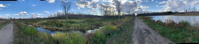
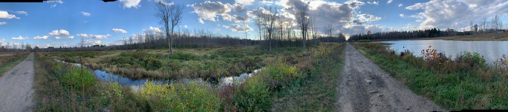
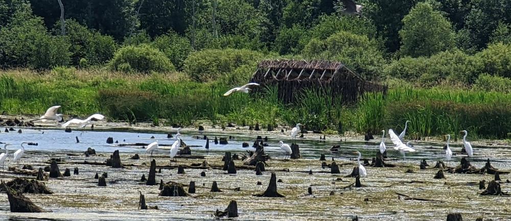
Continuing through a mix of private lands, the route leads into North Lawrence, where trailhead parking and nearby services are available. From there, riders follow the scenic North Lawrence railroad bed, bordered by wetlands and abundant wildlife.
The trail then continues through Fort Jackson Forest, county reforestation lands, and seasonal roads before reaching Parishville, where additional food and fuel stops are available.
This connector offers a diverse riding experience, combining forest trails, rural roadways, and rich natural landscapes while linking several communities across the region.
As of June 1, 2021, a multi-use trail permit is required for ATVs in St. Lawrence County. Purchase your permit here.
ATV trail riding is a popular outdoor recreational activity in Northern New York. The St Lawrence County Multi-Use Trails are designated ATV trails that include trail segments on public and private lands, with a key feature being a trail system thru Ft Jackson and Brasher Forests and the newest trail thru NYSDEC Easements from South Colton to Russell. Select Town and County Roads are used to connect the off road sections of the trail and are identified with brown signs that include an ATV symbol.
St Lawrence County Multi-Use ATV Trails are open May 15 to September 15 (unless otherwise posted).
For more information about ATV riding in St. Lawrence County, please contact:
![]()
Parking is available at the following locations:
Click on the Parking icons to get custom directions to the parking lots from your location.
Success! A new password has been emailed to you.


