Azure Mountain is a day hike perfect for those looking for a short walk with a great reward. The trail to the summit covers steep yet navigable terrain with plenty of flat areas for water breaks and rest stops.
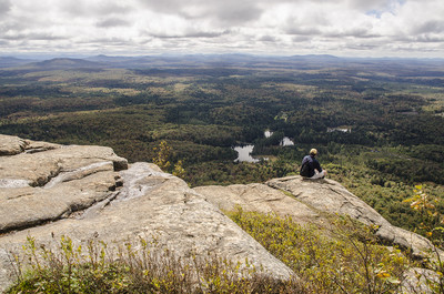
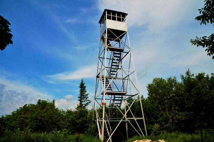
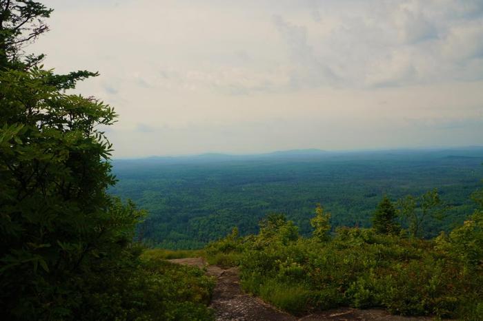
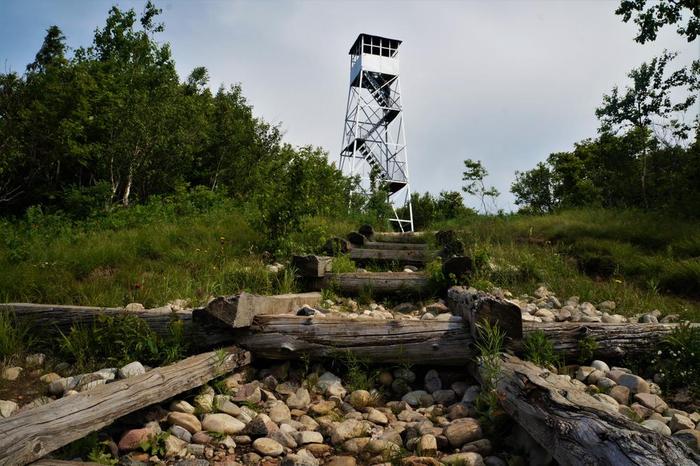
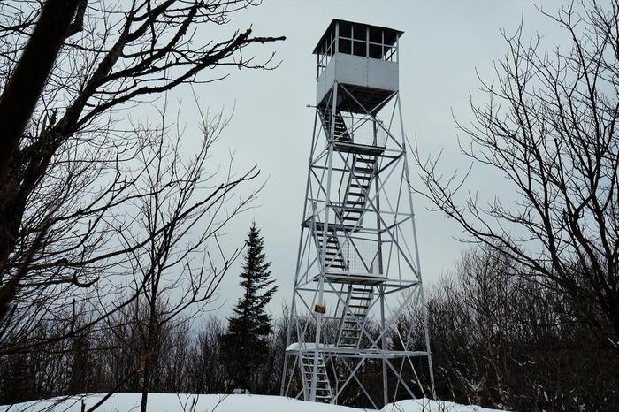
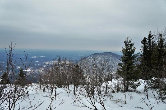
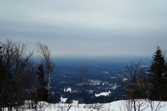
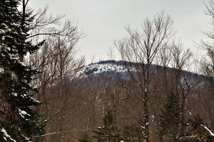
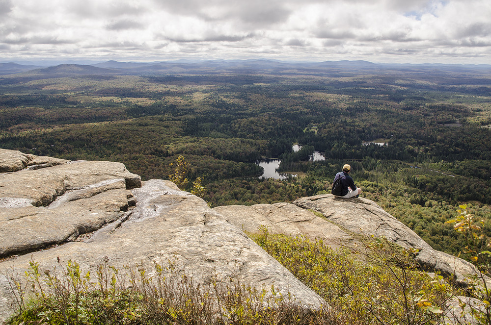
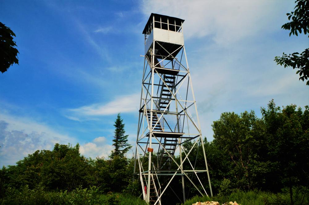
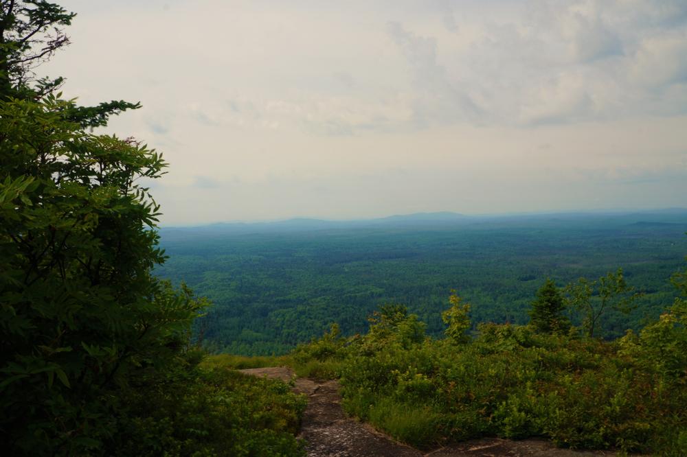
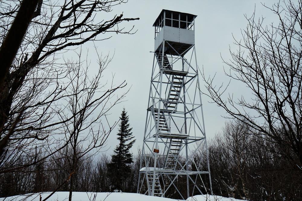
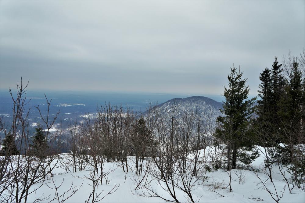
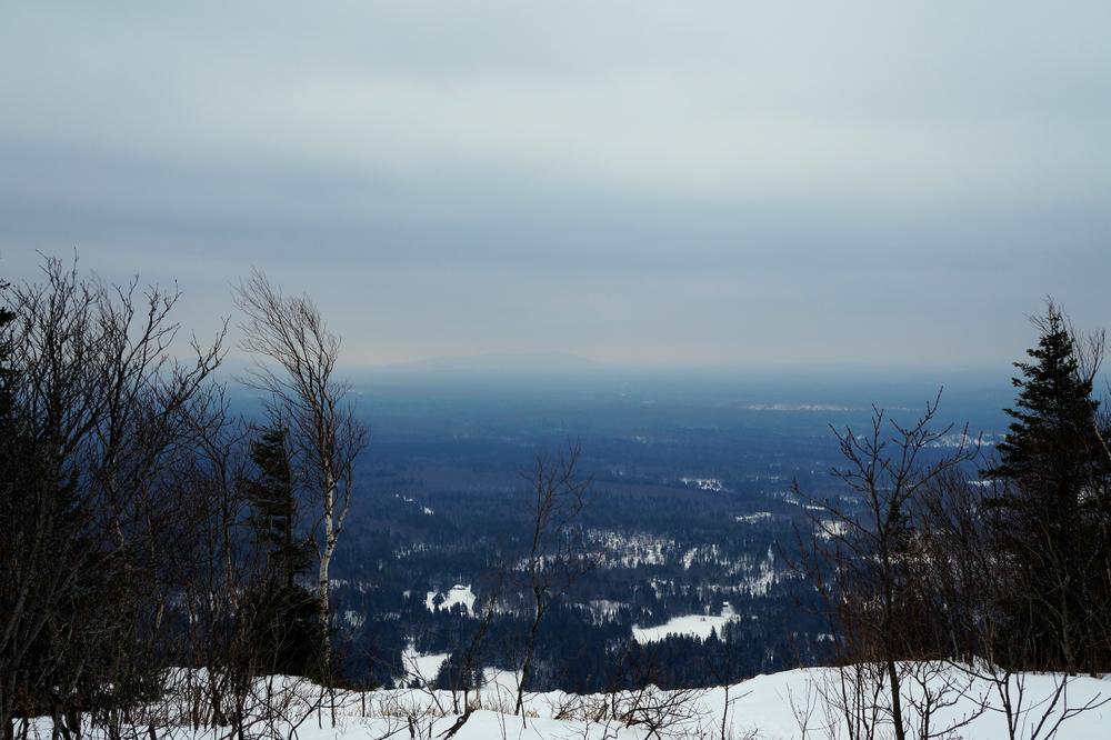
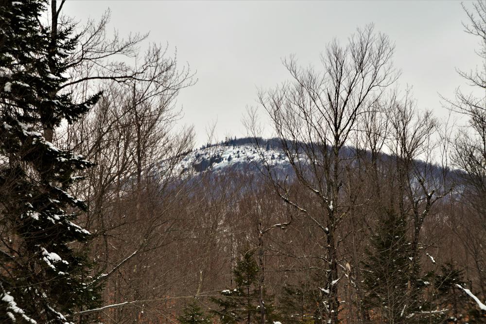
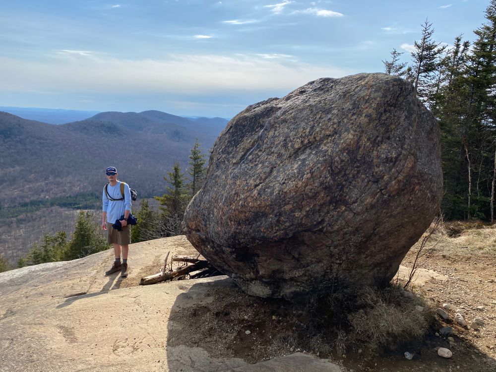
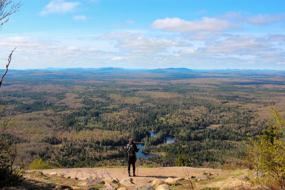
The Azure Mountain Trail ascends 1000 feet through a mixed hardwood forest with great potential for wildlife viewing. The summit includes a 35-foot fire tower that affords 360-degree views of the St. Lawrence River Valley and Northern Adirondacks. From the summit, views of the northern Adirondack boreal forest are stunning and on a clear day you can see the peaks of Whiteface, Colden, Gothics, Marcy and Algonquin. On the southwest end of the summit area, an impressive boulder, called a "glacial erratic" sits perched on the edge of a rocky outcrop.
The summit is exposed, and the trail is steep; be sure to bring plenty of water and snacks and an extra layer for warmth on the summit.
This trail is located within the Debar Mountain Wild Forest and is managed by the New York State Department of Environmental Conservation.
For more information, please visit the New York State Department of Environmental Conservation online, or contact:
New York State Department of Environmental Conservation Region 5 HeadquartersPark in the small dirt lot 0.1 miles down a dirt access road on the west side of Blue Mountain Road. The GPS coordinates are 44.537691, -74.485500. This hike is located just across the Franklin County line in the town of Waverly.
Success! A new password has been emailed to you.


