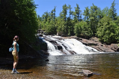
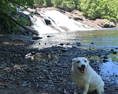
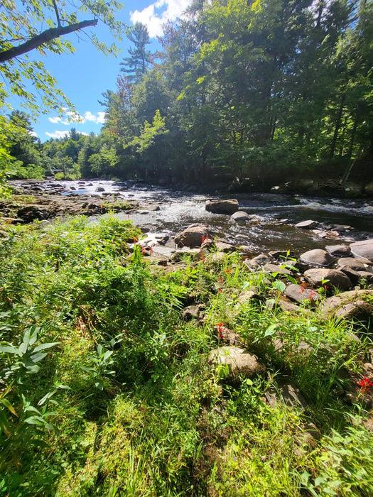
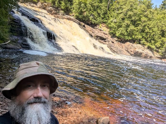
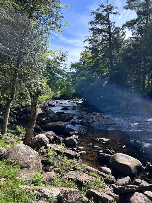
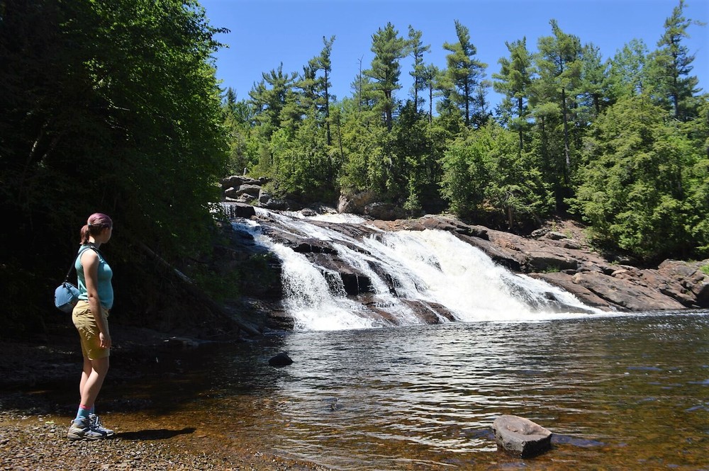
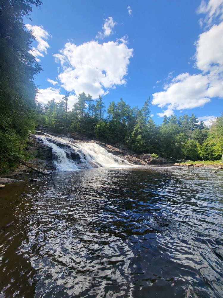
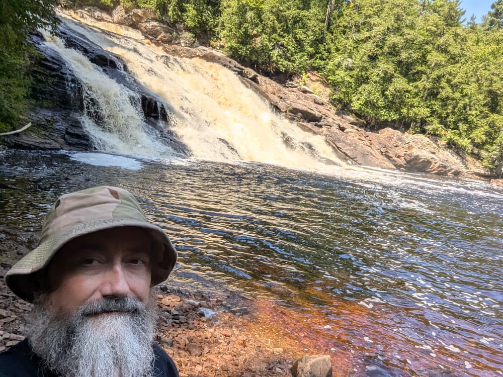
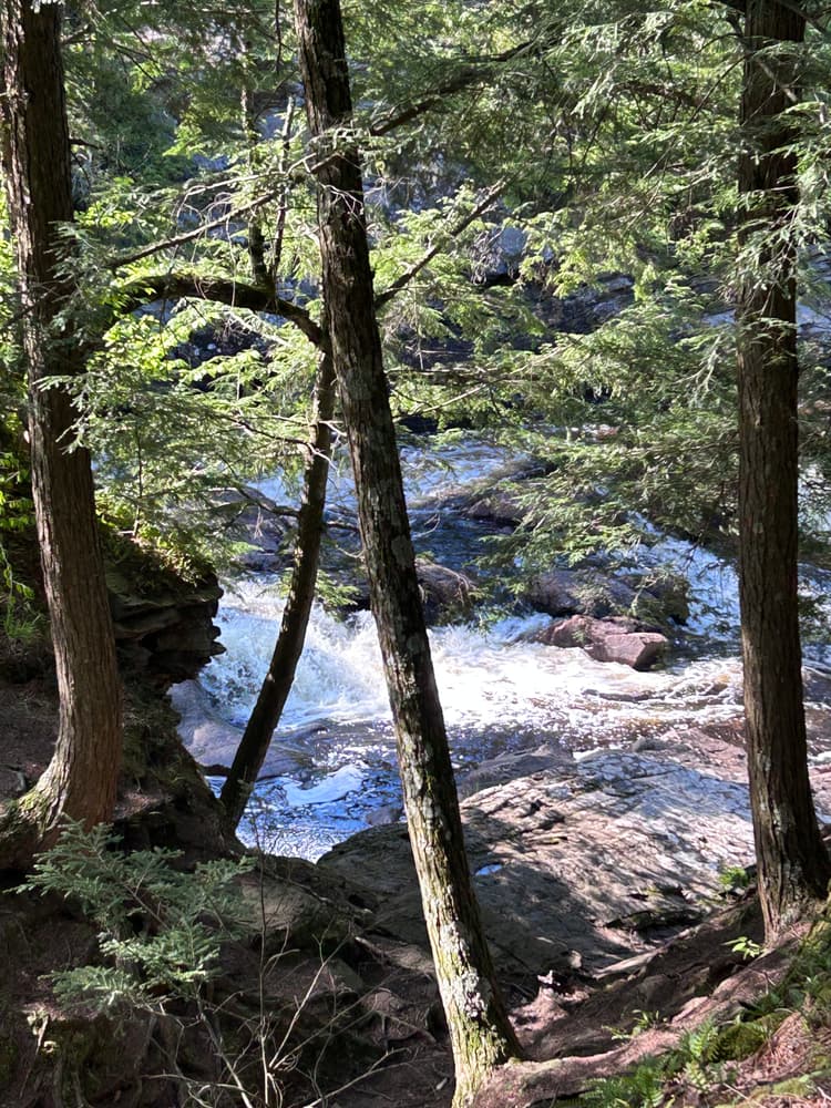
From the mowed area, follow a well-worn path across a small stream and through an area of blown down trees. On the left, there is a side trail that follows a dry creek bed leading to a view of the upper falls. Continue straight to reach a different view of the waterfall and another steeper path to the full view of the waterfall and a swimming hole.
Please take care on the slippery rocks near the falls.
This trail is not formally maintained by any group. Contact the Chamber of Commerce for more information:

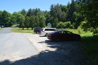
Park in the large gravel parking pull-off near the bridge over High Falls Creek. The GPS coordinates are 44.653333, -74.851200. Across the road from the parking area is a mowed area and the start of an informal trail through the shrubs.
Success! A new password has been emailed to you.


I would not recommend it for people with some disabilities but it's definitely fine for children and pets. Especially considering most children are better at hiking than their parents, especially steep areas.
It would be nice if this website offered a downloadable trail map as that could help with how it's not really marked.